01 ·
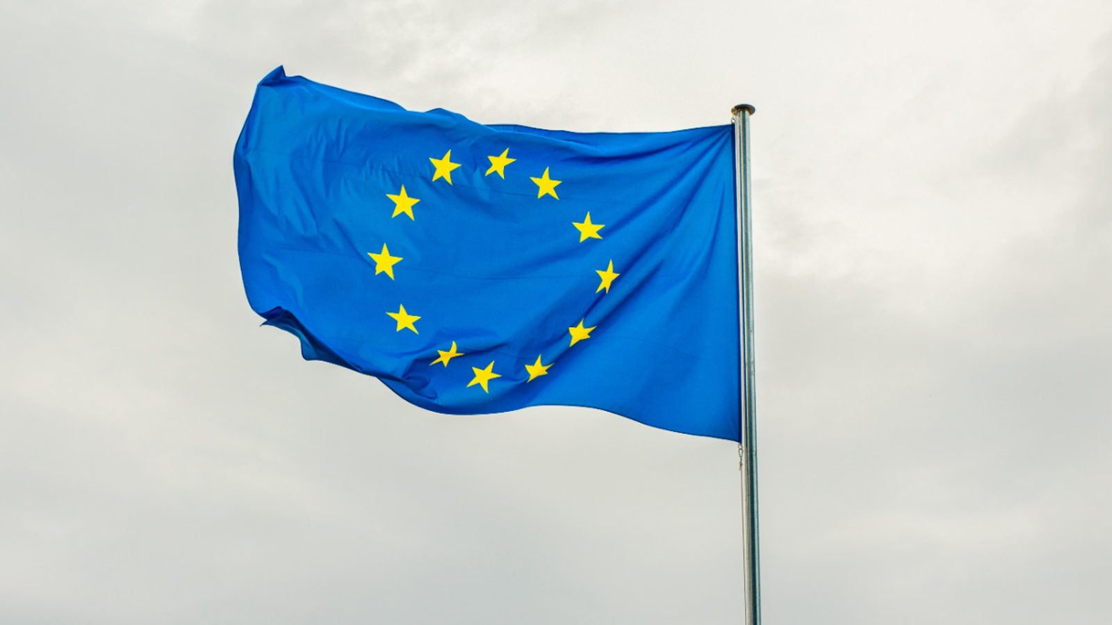
DAILY GEOGRAPHY BRIEF · NO. 150
Why the EU flag still has just 12 stars
The EU flag's 12 stars were never a member count. Fixed as a symbol of perfection in 1955, they stayed unchanged as membership grew to 27 countries.
Read issue →THE MAP SO FAR · EVERY ISSUE
Follow The Meridian backwards through daily places, moving maps and facts worth carrying into conversation.
01 ·
DAILY GEOGRAPHY BRIEF · NO. 150
The EU flag's 12 stars were never a member count. Fixed as a symbol of perfection in 1955, they stayed unchanged as membership grew to 27 countries.
Read issue →02 ·
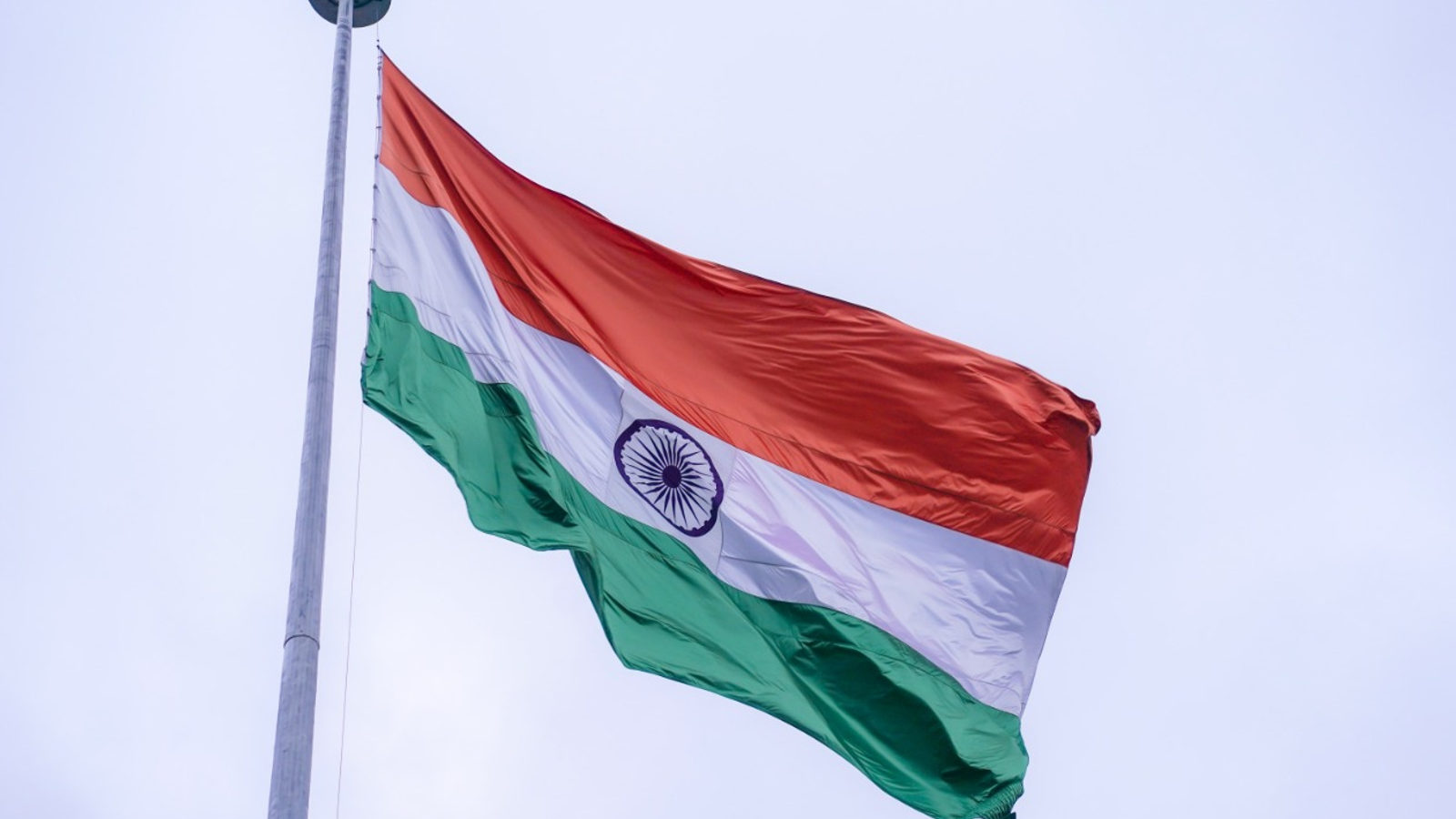
DAILY GEOGRAPHY BRIEF · NO. 151
India's flag wheel is often read as Gandhi's charkha, but the emblem swapped in for it in 1947 is the Ashoka Chakra, an ancient 24-spoke Buddhist dharma-wheel.
Read issue →03 ·
DAILY GEOGRAPHY BRIEF · NO. 152
Baffin Island is 2.4 times the size of Great Britain, Devon Island is Earth's largest uninhabited landmass, and Reno sits farther west than Los Angeles.
Read issue →04 ·
DAILY GEOGRAPHY BRIEF · NO. 153
Why the Union Jack has never carried a symbol for Wales, plus the tiny Pacific island once richer than almost anywhere on Earth, and Europe's real low point.
Read issue →05 ·
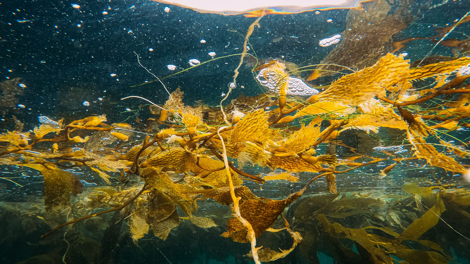
DAILY GEOGRAPHY BRIEF · NO. 154
The Dutch flag has no orange in it, the result of a 300-year colour swap made official in 1937. Plus a sea with no coast and a country wider than the Moon.
Read issue →06 ·
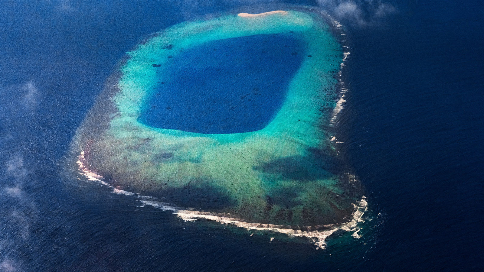
DAILY GEOGRAPHY BRIEF · NO. 155
The bikini swimsuit is named after Bikini Atoll in the Marshall Islands. It was unveiled in Paris four days after the US tested an atomic bomb there in 1946.
Read issue →07 ·
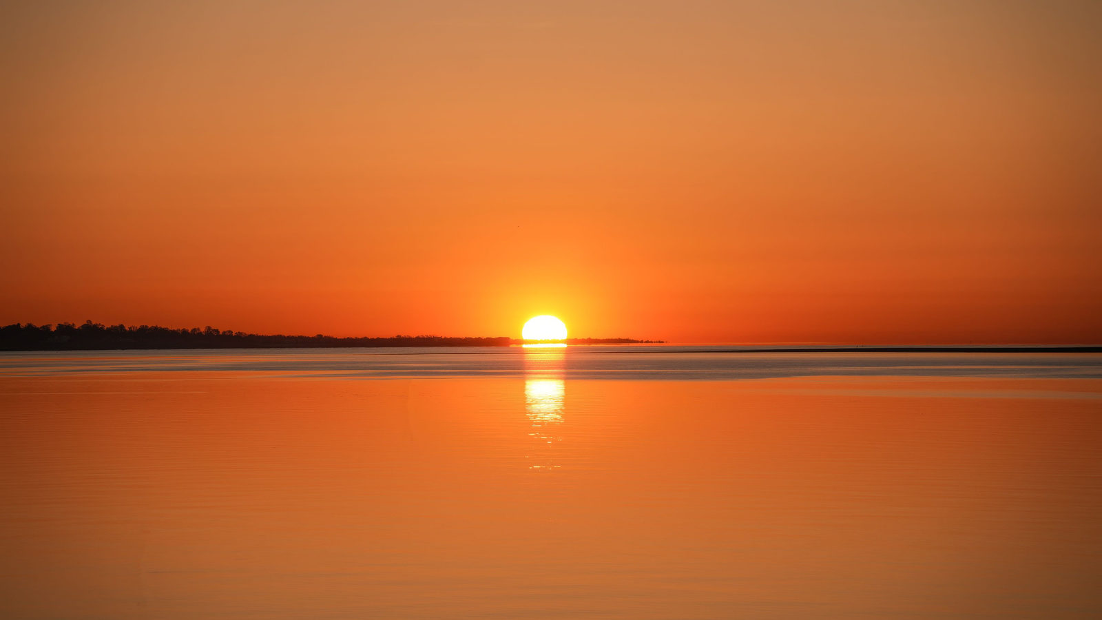
DAILY GEOGRAPHY BRIEF · NO. 156
Kiribati's Line Islands sit at UTC+14, the world's most forward time zone and a full hour ahead of New Zealand, so they are first to greet each new year.
Read issue →08 ·
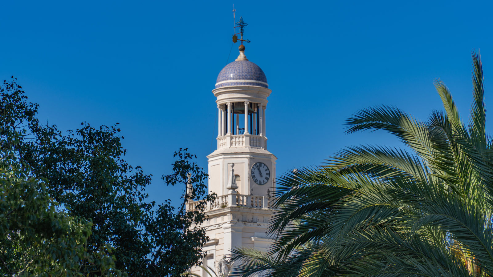
DAILY GEOGRAPHY BRIEF · NO. 157
Why peninsular Spain, mostly west of Greenwich, keeps Central European Time. Plus the Netherlands' real sea-level share and the world's oldest living culture.
Read issue →09 ·
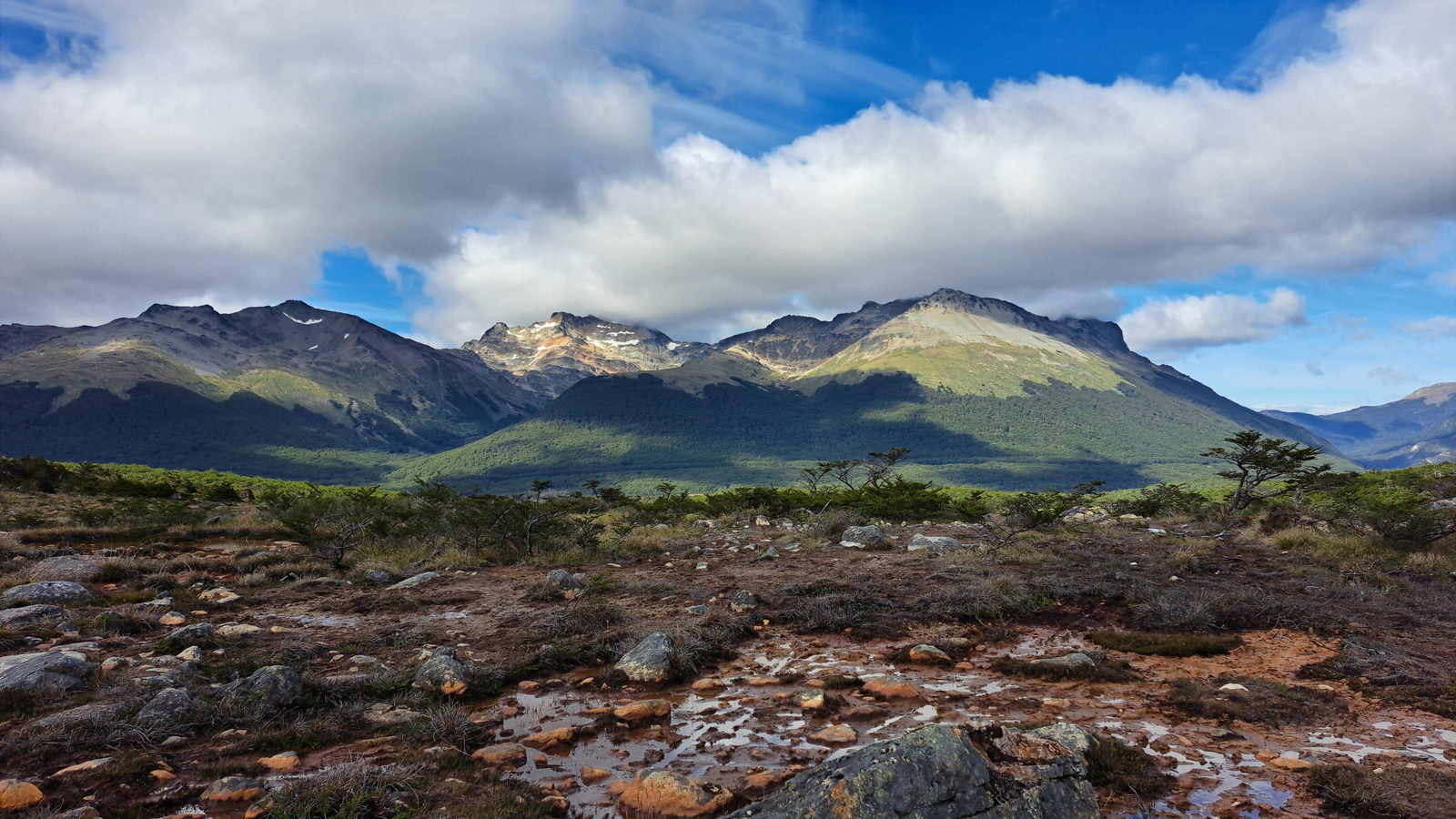
DAILY GEOGRAPHY BRIEF · NO. 158
On the Mercator map, Greenland looks two to three times the size of Algeria, but Algeria has about 10% more land. Plus the pyramids of Sudan.
Read issue →10 ·
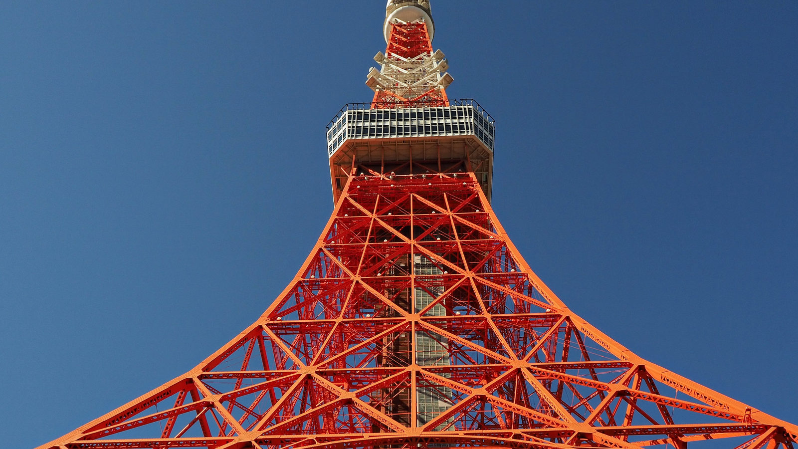
DAILY GEOGRAPHY BRIEF · NO. 159
Tokyo Tower was modelled on the Eiffel Tower and measures 332.9 metres, about 3 metres more than its model. Plus the largest church in the world.
Read issue →11 ·
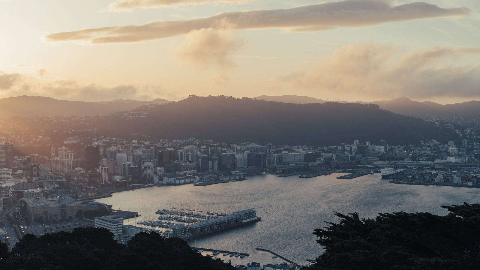
DAILY GEOGRAPHY BRIEF · NO. 160
Equatorial Guinea's name points to the equator, but the line crosses only its waters, between the mainland and Annobón. Plus how Wellington became a capital.
Read issue →12 ·
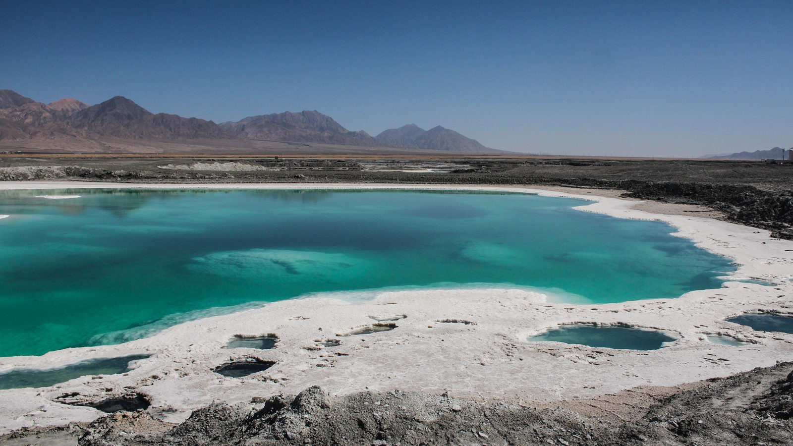
DAILY GEOGRAPHY BRIEF · NO. 161
Lake Assal, a salt lake in Djibouti, sits about 155 metres below sea level, lower than Egypt's Qattara Depression and the true lowest point on land in Africa.
Read issue →13 ·
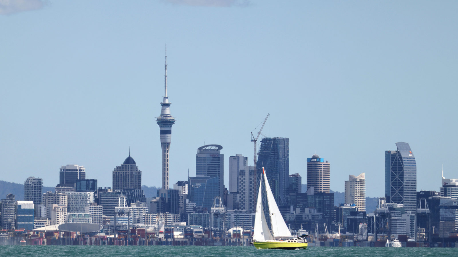
DAILY GEOGRAPHY BRIEF · NO. 162
New Zealand, far out in the South Pacific, was the last large landmass on Earth people settled, reached by Polynesian voyagers only around the year 1280.
Read issue →14 ·
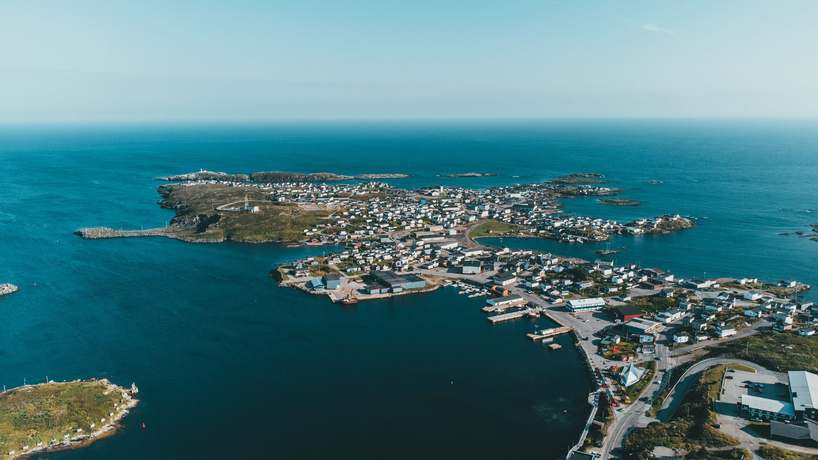
DAILY GEOGRAPHY BRIEF · NO. 163
London sits at 51.5 degrees north, above every point in the contiguous United States, even though its mild, sea-warmed climate makes it feel farther south.
Read issue →15 ·
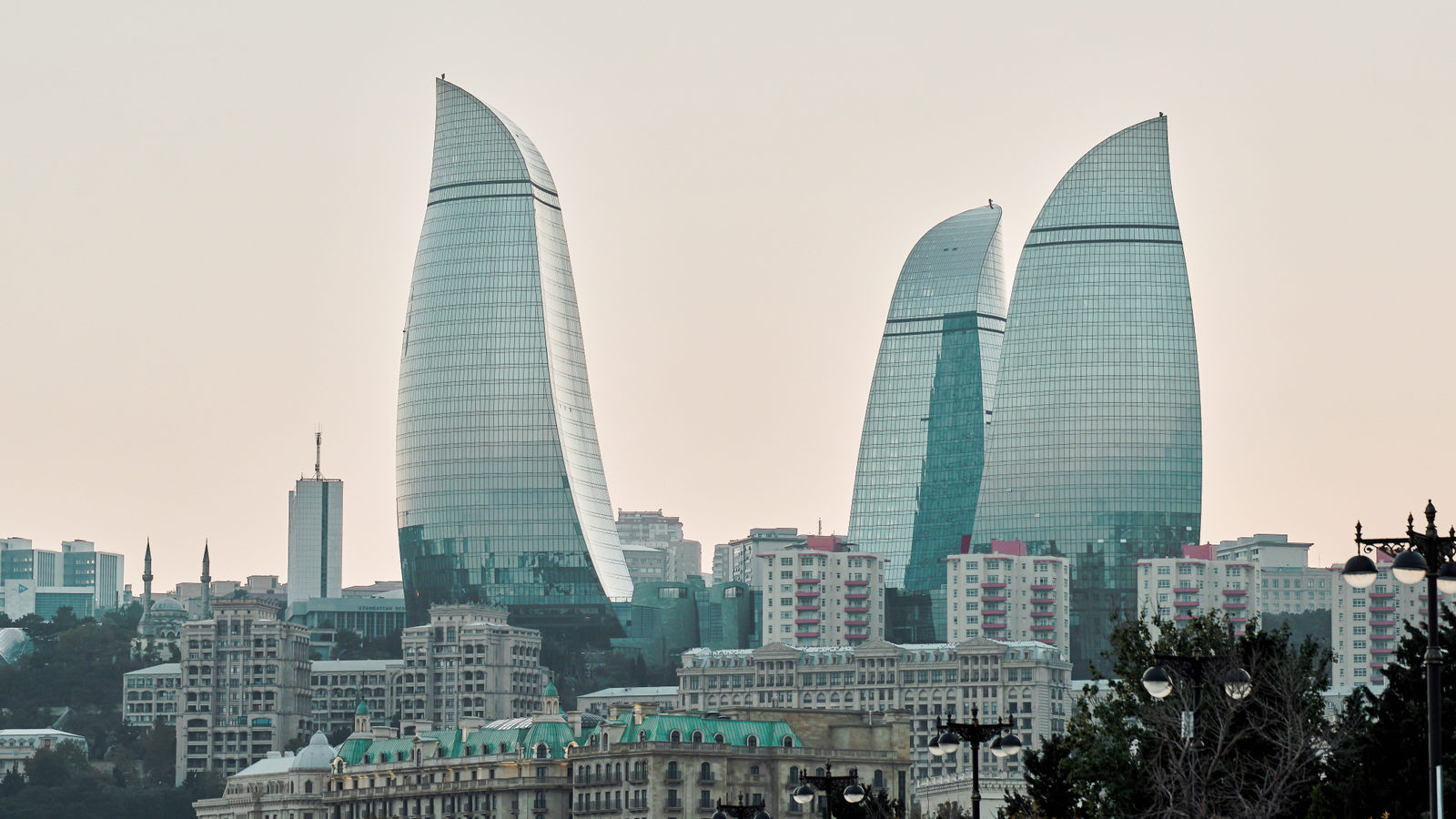
DAILY GEOGRAPHY BRIEF · NO. 164
Jakarta, the capital of Indonesia, is subsiding up to 15 centimetres a year in its worst-hit areas, far outpacing Venice, the city most associated with sinking.
Read issue →16 ·
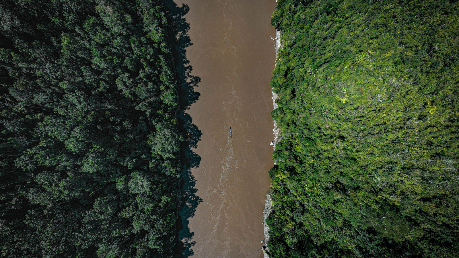
DAILY GEOGRAPHY BRIEF · NO. 165
Not the Amazon: soundings found the Congo River reaches about 220 metres deep, far more than the Amazon, because its water is squeezed so narrowly.
Read issue →17 ·
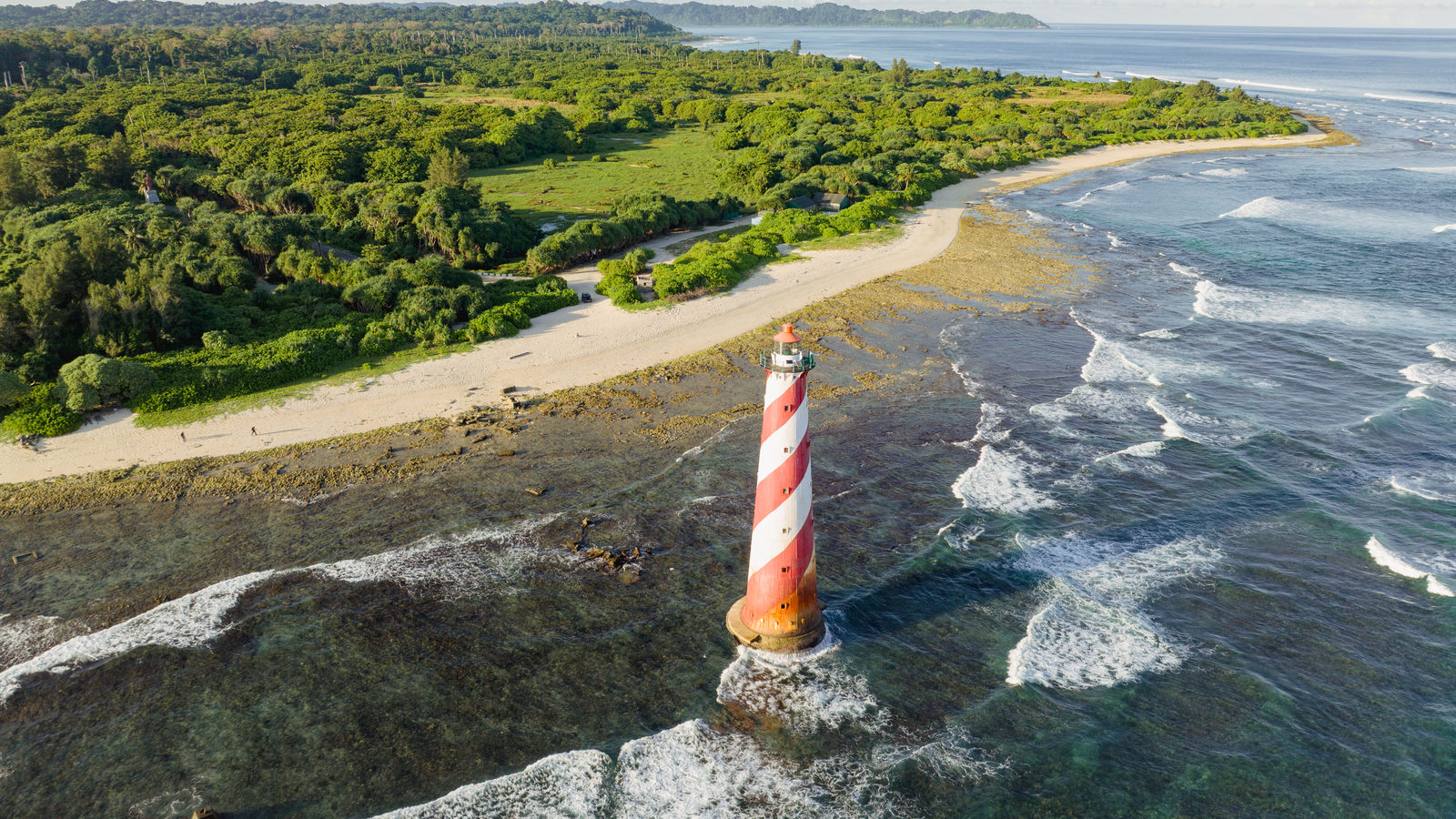
DAILY GEOGRAPHY BRIEF · NO. 166
Kanyakumari is often called India's southernmost point, but the true southernmost point is Indira Point, on Great Nicobar Island near Indonesia.
Read issue →18 ·
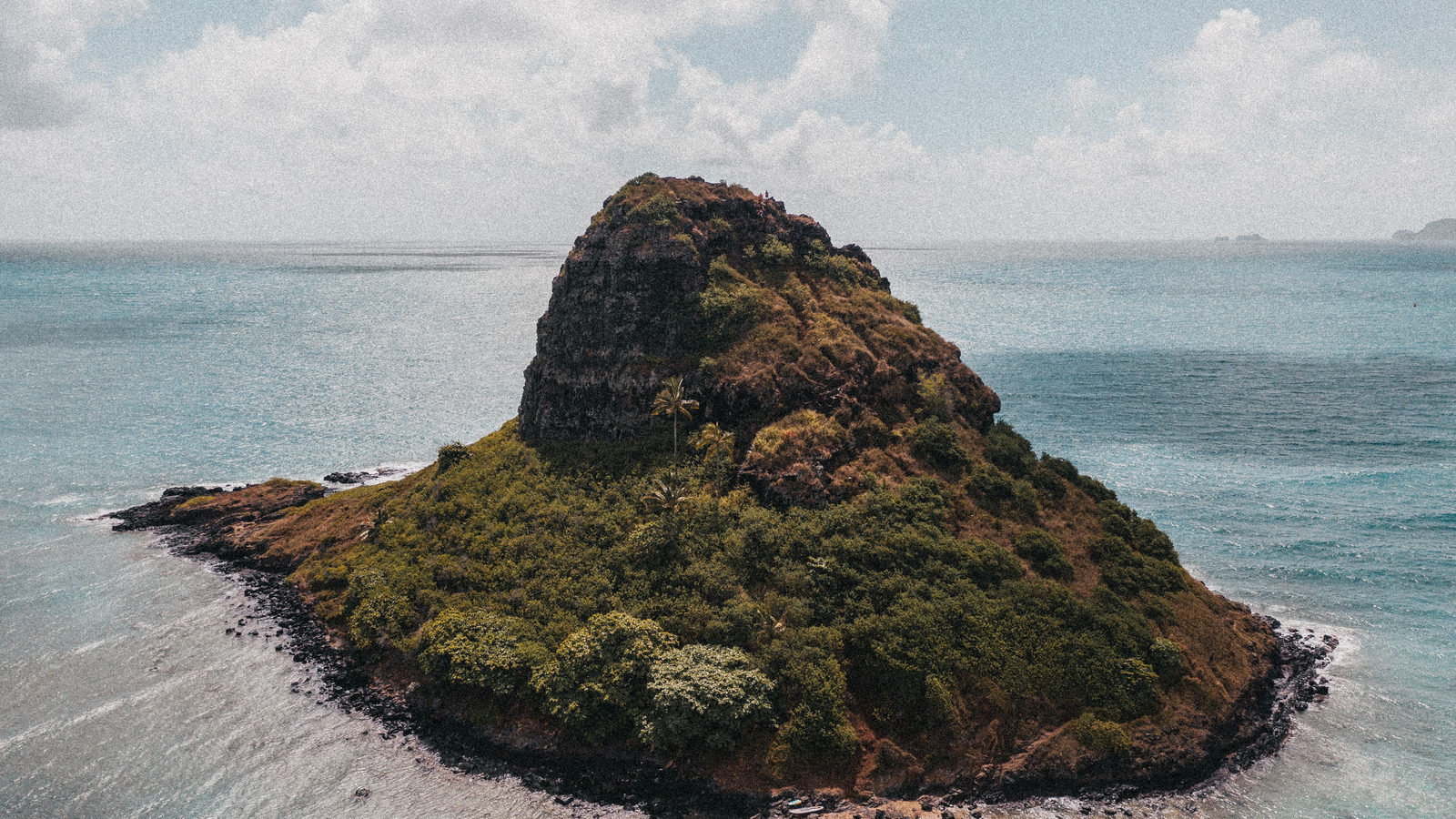
DAILY GEOGRAPHY BRIEF · NO. 167
Most people guess Tuvalu, but Naoero (formerly Nauru), a single 21 square kilometre island, narrowly beats it, making Naoero the world's third-smallest sovereign state overall.
Read issue →19 ·
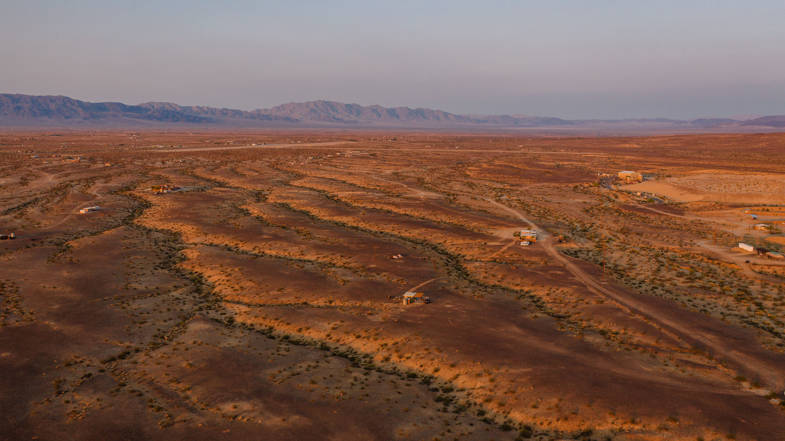
DAILY GEOGRAPHY BRIEF · NO. 168
Argentina's Patagonian Desert covers about 673,000 square kilometres, more than six times the size of the Atacama, making it South America's largest desert.
Read issue →20 ·
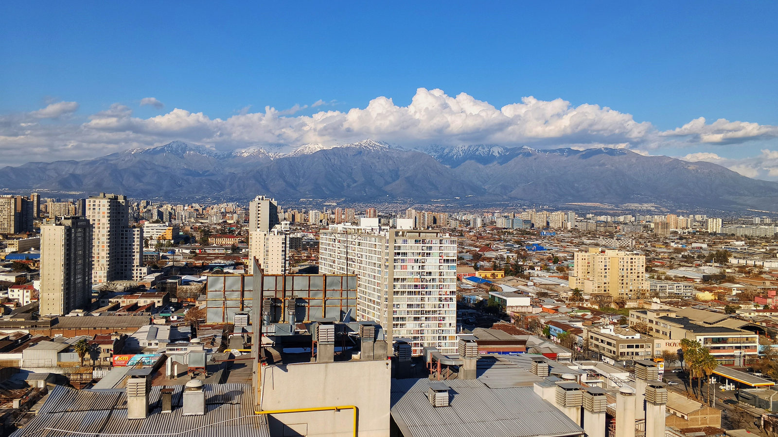
DAILY GEOGRAPHY BRIEF · NO. 169
Santiago sits further east than New York City, since South America is shifted eastward. Plus Tasmania, the Pacific Ocean's size, and more.
Read issue →21 ·
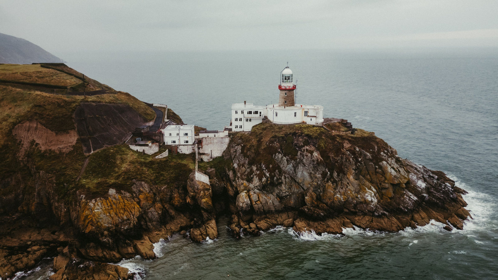
DAILY GEOGRAPHY BRIEF · NO. 170
Ireland's northern tip, Malin Head in County Donegal, lies in the Republic, not Northern Ireland, about 15 kilometres further north than Antrim's coast.
Read issue →22 ·
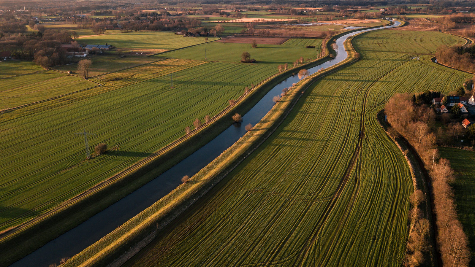
DAILY GEOGRAPHY BRIEF · NO. 171
Australia's constitution named Melbourne, not Sydney, as the seat of government until Canberra was ready. Parliament sat there for 26 years, from 1901 to 1927.
Read issue →23 ·
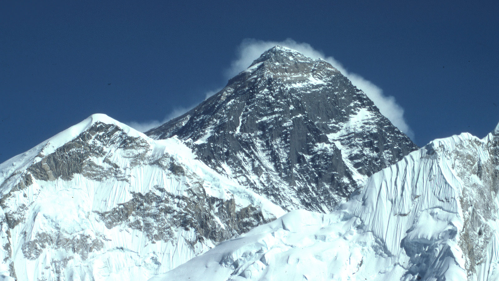
DAILY GEOGRAPHY BRIEF · NO. 172
The rock at Mount Everest's summit is marine limestone, formed on a warm, shallow sea floor roughly 450 million years ago, long before the mountain rose.
Read issue →24 ·
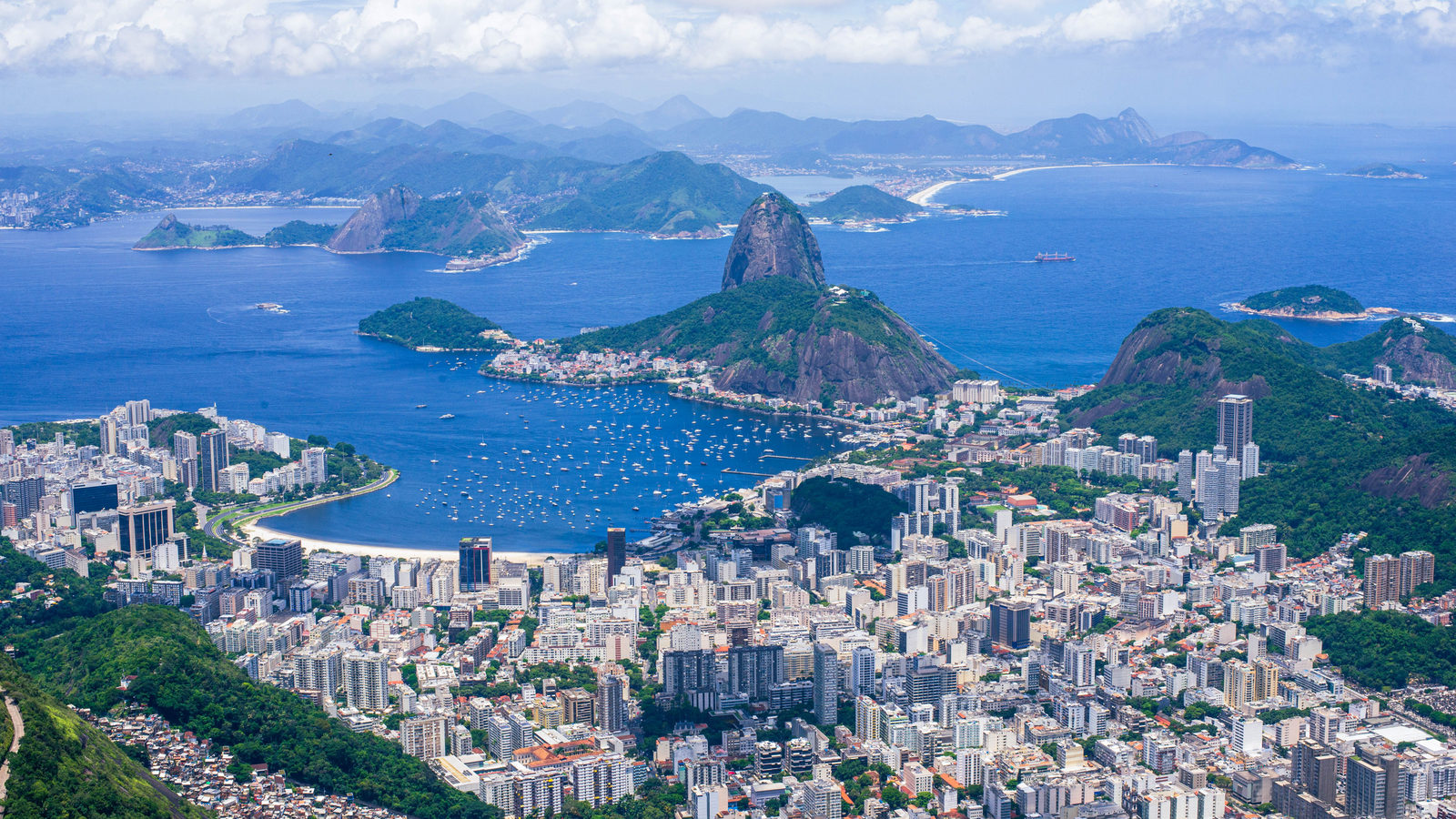
DAILY GEOGRAPHY BRIEF · NO. 174
Auckland's Pacific peoples community outnumbers the population of Samoa, the most populous independent Polynesian country, by the 2023 census.
Read issue →25 ·
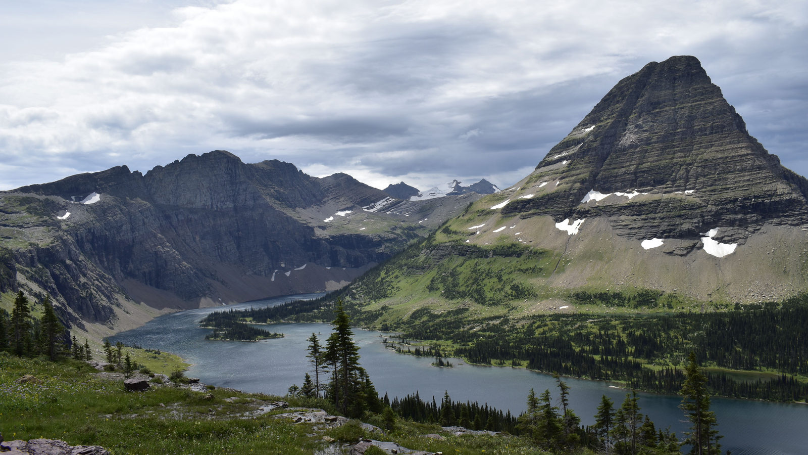
DAILY GEOGRAPHY BRIEF · NO. 173
Canada's southernmost point, Middle Island in Lake Erie, sits south of Chicago and below the parallel that forms California's and Nevada's northern border.
Read issue →26 ·
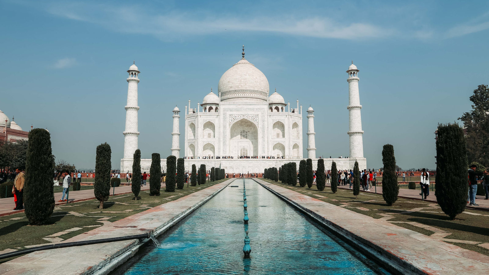
DAILY GEOGRAPHY BRIEF · NO. 175
South Africa's Tugela Falls drops 948 metres, nine times the height of Victoria Falls, which is wider rather than taller, at 1,708 metres across.
Read issue →27 ·
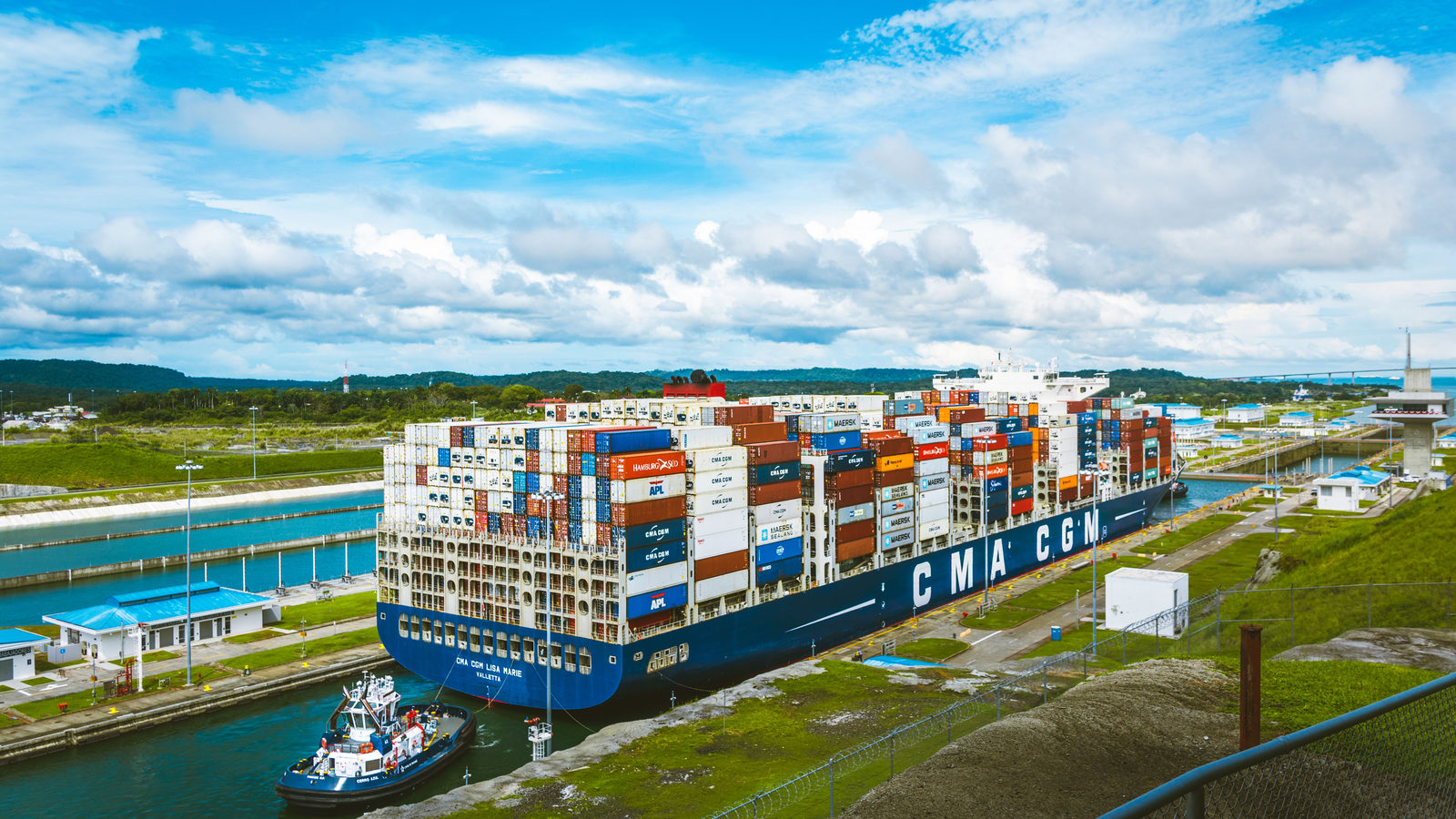
DAILY GEOGRAPHY BRIEF · NO. 176
The Panama Canal runs northwest to southeast, so its Pacific terminus at Balboa sits east of its Atlantic terminus at Colon, not west as most assume.
Read issue →28 ·
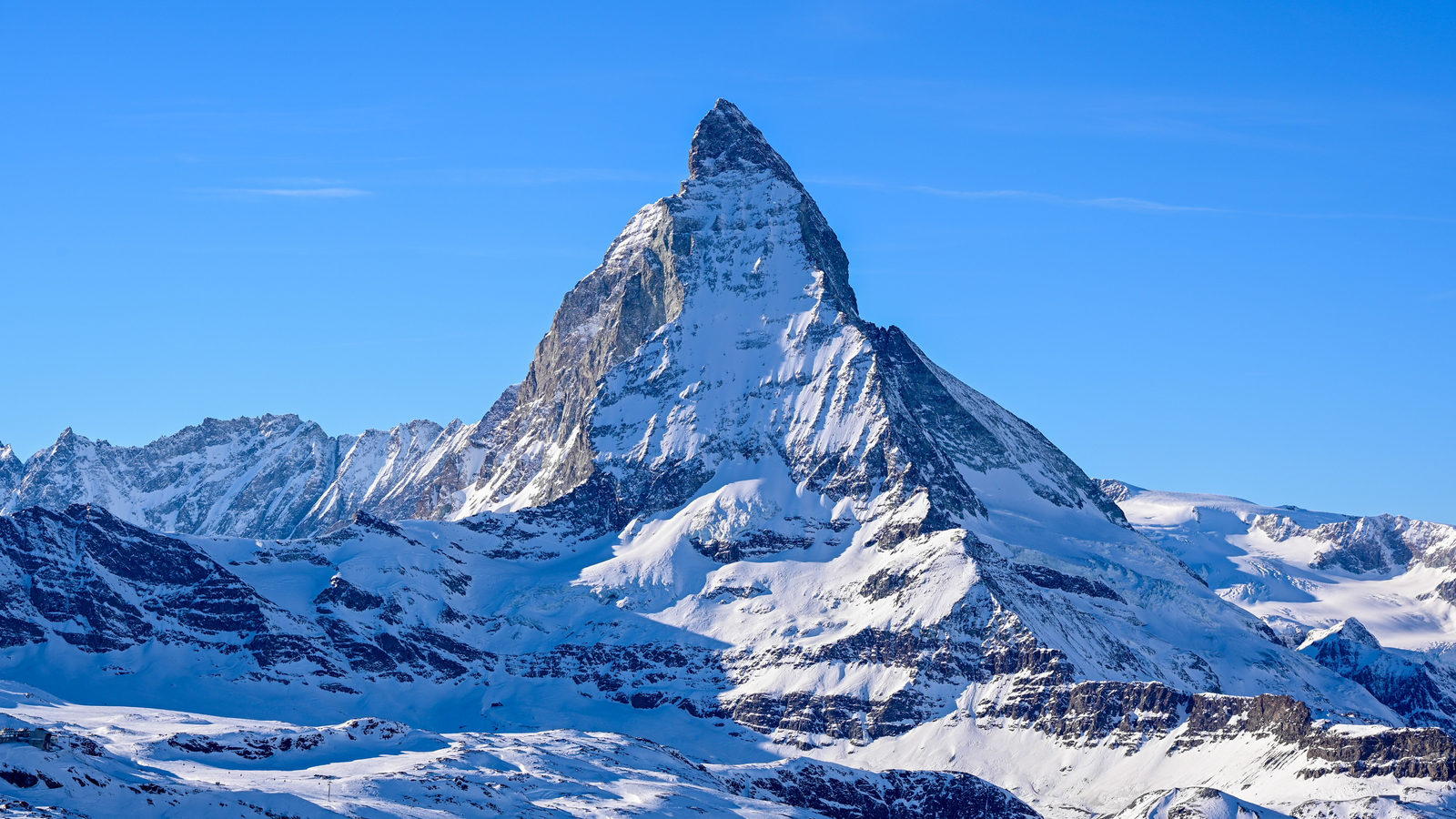
DAILY GEOGRAPHY BRIEF · NO. 177
Italy shares more border length with Switzerland than with France, because mountain shape matters more than a neighbour's size. Also: a medieval Pacific city.
Read issue →29 ·
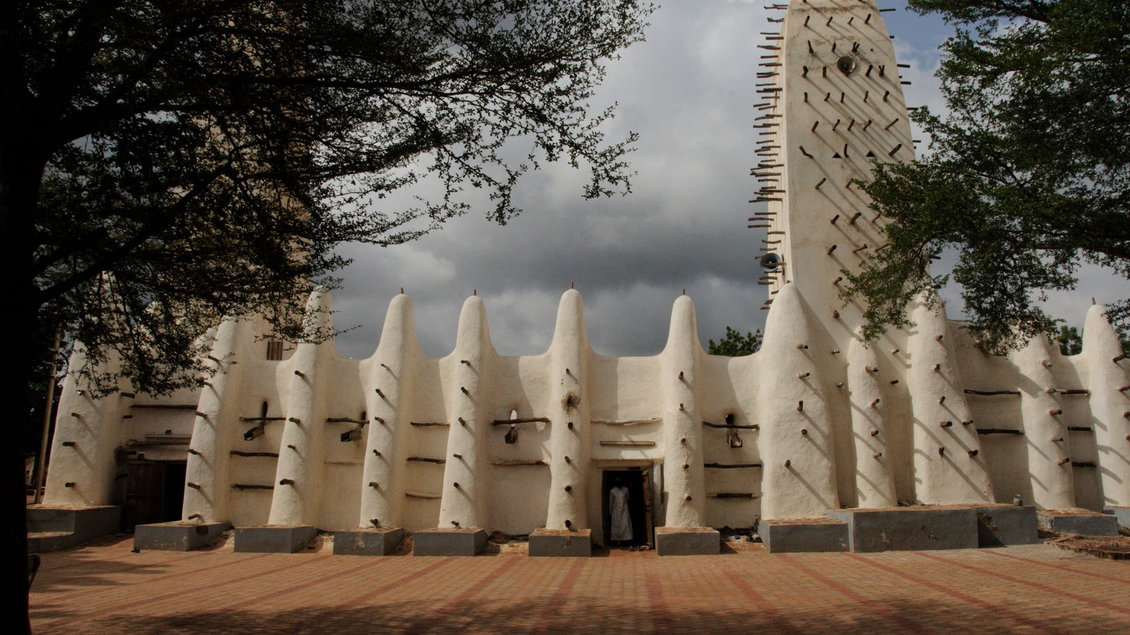
DAILY GEOGRAPHY BRIEF · NO. 178
Myanmar moved its entire government to a newly built city, Nay Pyi Taw, in November 2005. It remains the capital today, though Yangon is still far larger.
Read issue →30 ·
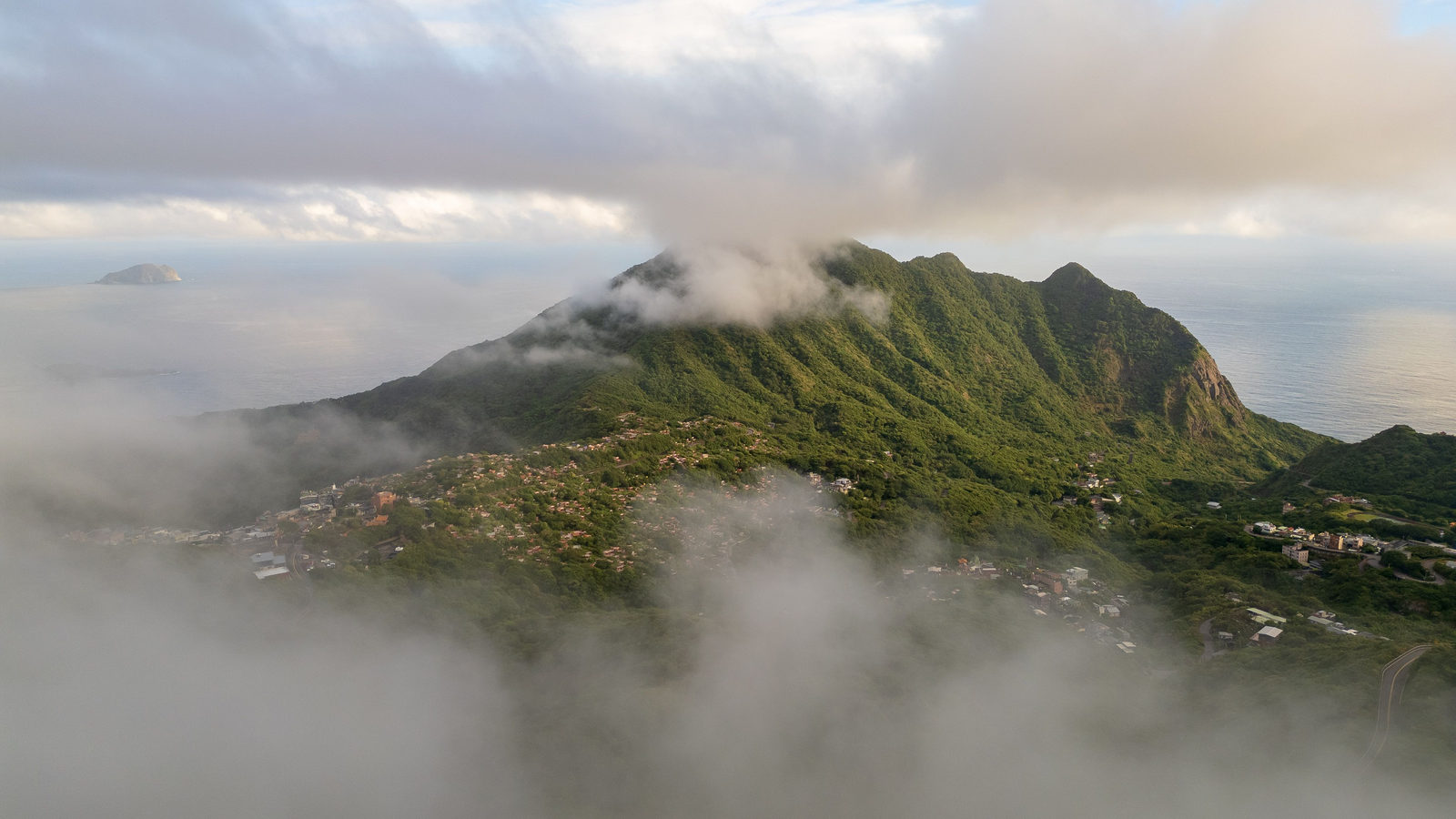
DAILY GEOGRAPHY BRIEF · NO. 179
Mount Scenery, a volcano on the Dutch Caribbean island of Saba, stands about 870 metres, nearly three times the height of the Netherlands' European high point.
Read issue →31 ·
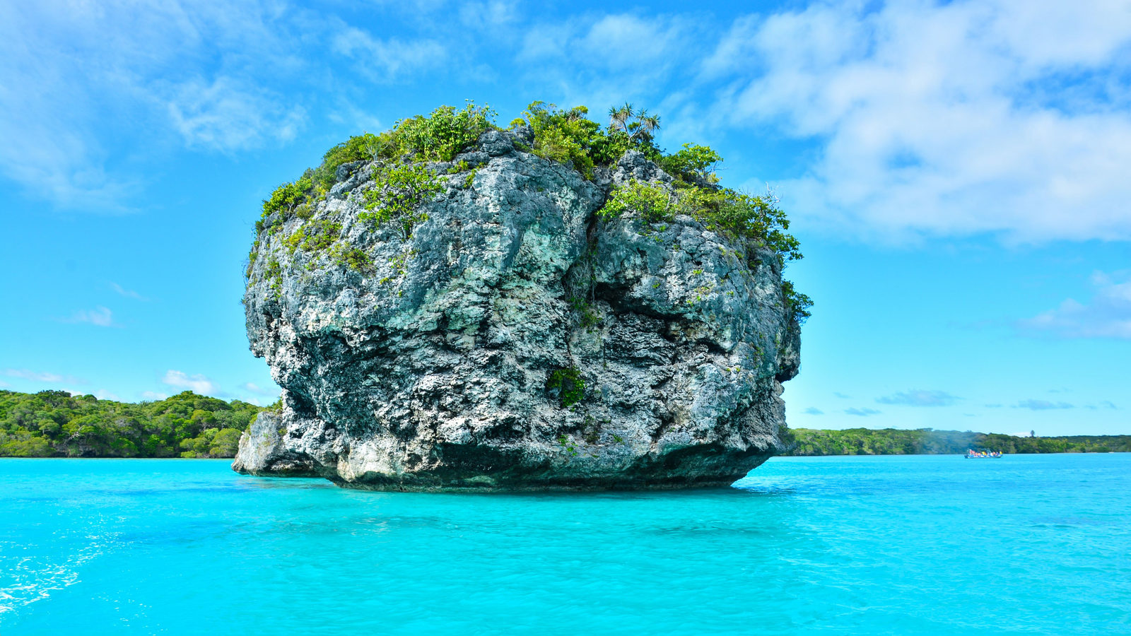
DAILY GEOGRAPHY BRIEF · NO. 180
Earth's equatorial bulge means Ecuador's Mount Chimborazo sits about 2,072 metres farther from the planet's centre than Mount Everest's summit does.
Read issue →32 ·
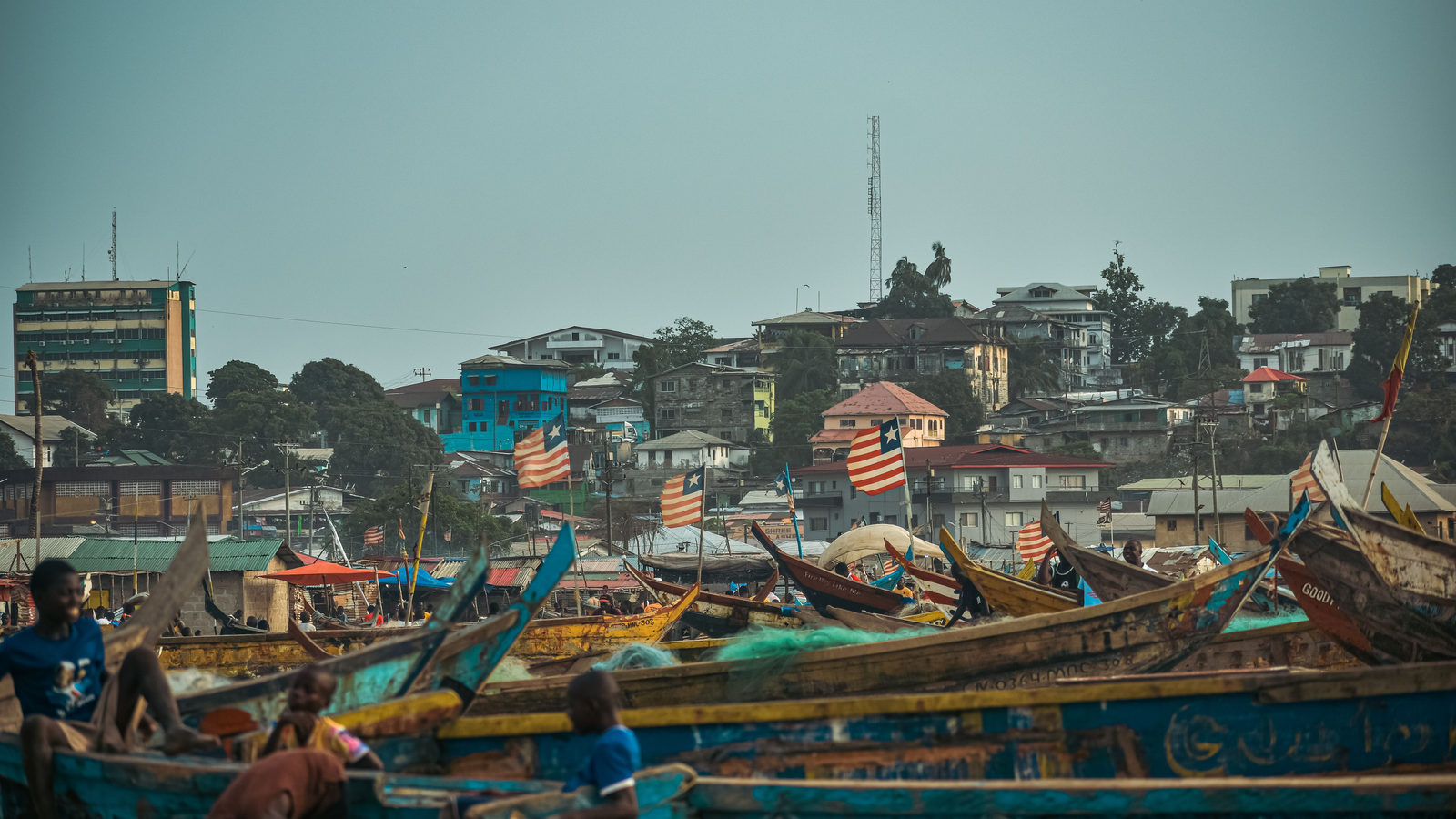
DAILY GEOGRAPHY BRIEF · NO. 182
Africa's northern tip, in Tunisia, sits north of the southern tip of Sicily and the whole of Malta, upending how most people picture the two continents.
Read issue →33 ·
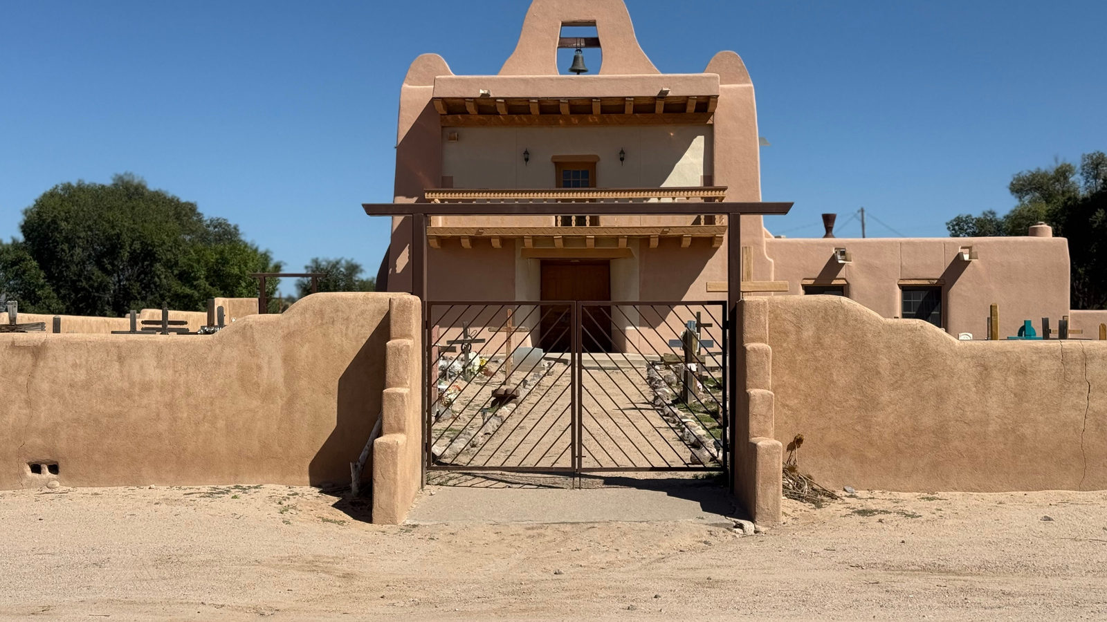
DAILY GEOGRAPHY BRIEF · NO. 183
Santa Fe, New Mexico, sits higher above sea level than any other US state capital, including Denver, the self-styled Mile High City, which ranks only third.
Read issue →34 ·
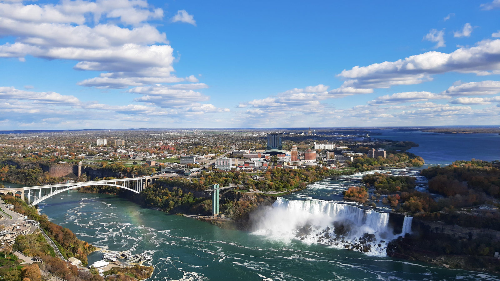
DAILY GEOGRAPHY BRIEF · NO. 184
Malta's national flag shows no Maltese cross at all. The symbol in its corner is the George Cross, a British award for bravery given to the island in 1942.
Read issue →35 ·
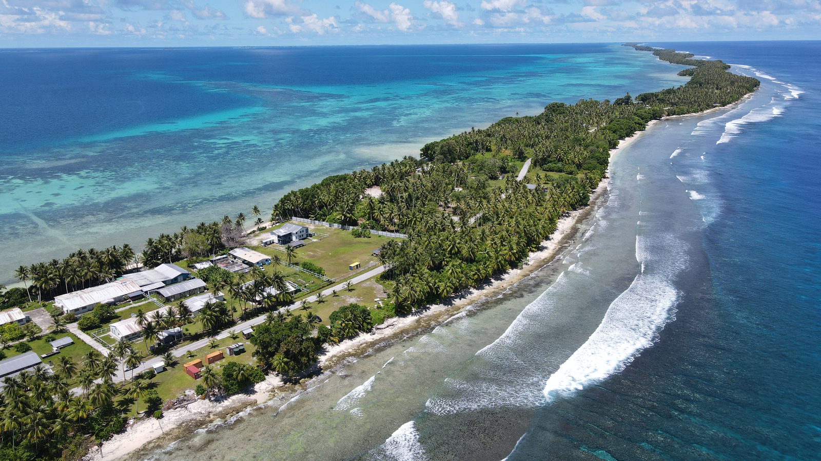
DAILY GEOGRAPHY BRIEF · NO. 185
Scientists found that natural blond hair among dark-skinned Solomon Islanders comes from a local gene change, with no European ancestry involved at all.
Read issue →36 ·
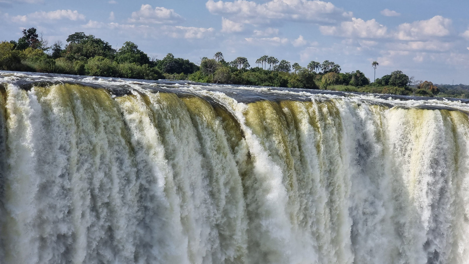
DAILY GEOGRAPHY BRIEF · NO. 186
New Guinea, shared by Indonesia and Papua New Guinea, covers more land than Borneo, making it the world's second largest island after Greenland.
Read issue →37 ·
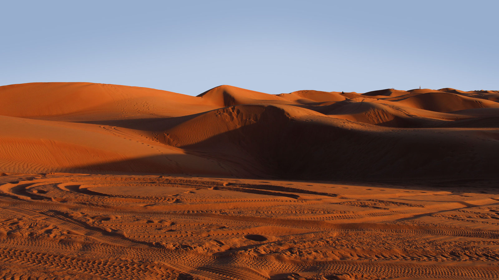
DAILY GEOGRAPHY BRIEF · NO. 187
Most people name the Gobi as Asia's biggest desert, but the Arabian Desert covers about 2.3 million square kilometres, nearly twice the Gobi's size.
Read issue →38 ·
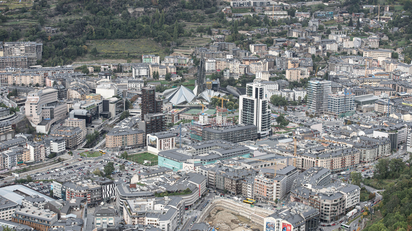
DAILY GEOGRAPHY BRIEF · NO. 188
Andorra la Vella, high in the Pyrenees mountains, sits 1,023 metres above sea level, higher than Madrid, the tallest capital in the European Union.
Read issue →39 ·
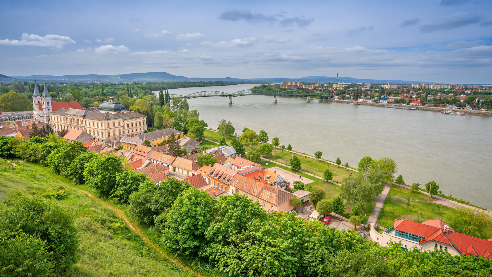
DAILY GEOGRAPHY BRIEF · NO. 189
Near its source in Germany, the Danube sinks into limestone and resurfaces 12 kilometres away, flowing on to the North Sea instead of the Black Sea.
Read issue →40 ·
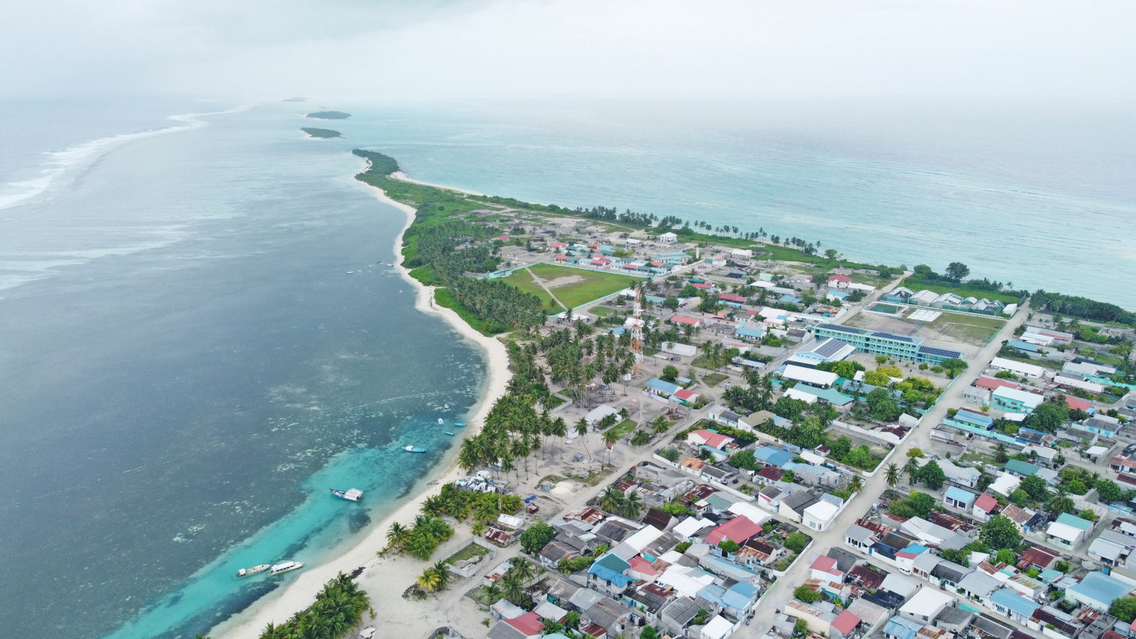
DAILY GEOGRAPHY BRIEF · NO. 190
Tuvalu is widely described as sinking beneath rising seas, but measurements show its land area actually grew by about 74 hectares between 1971 and 2014.
Read issue →41 ·
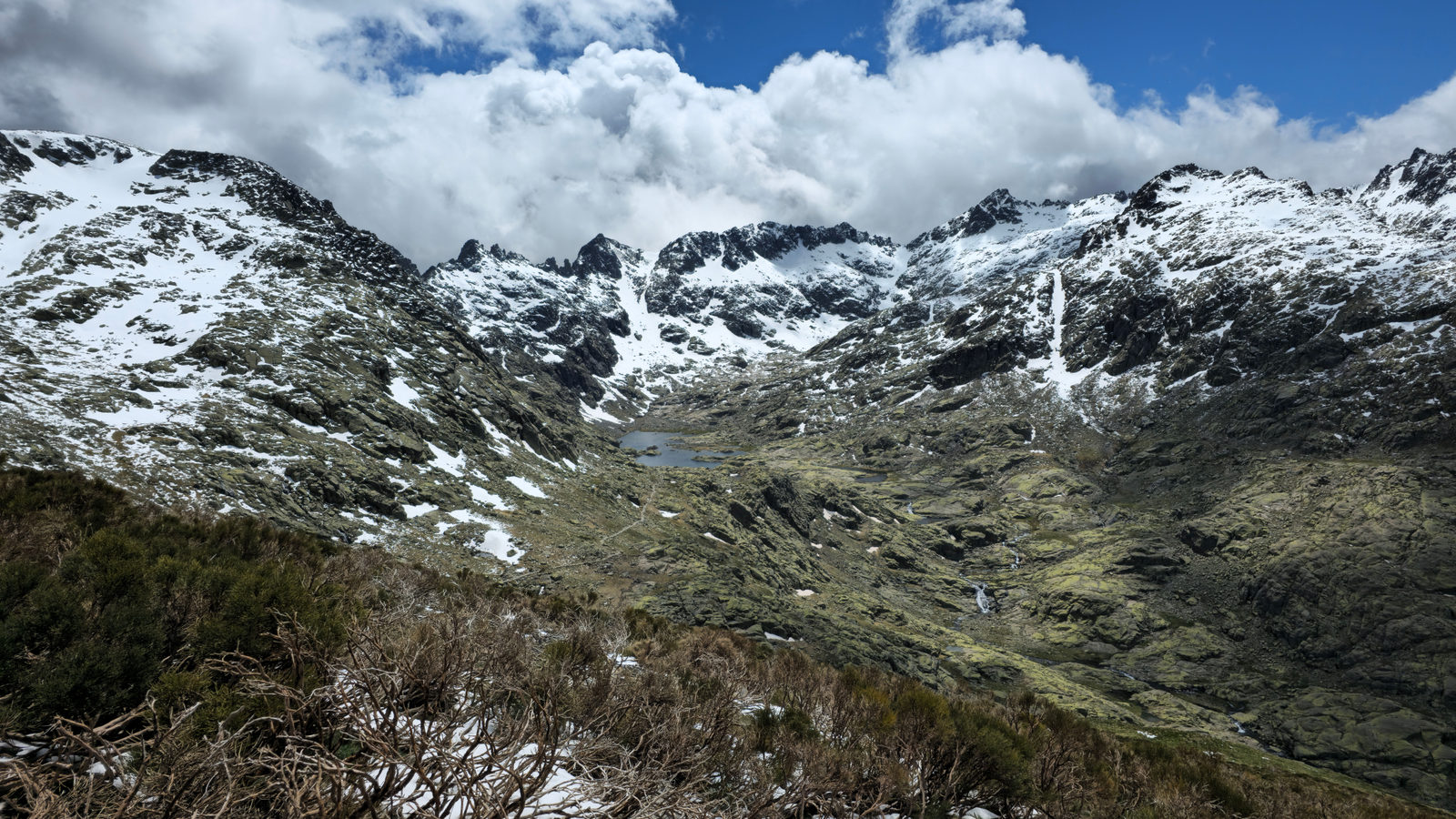
DAILY GEOGRAPHY BRIEF · NO. 191
The Rwenzori Mountains, on the Uganda-Congo border, are one of only three African ranges still holding glaciers, alongside Kilimanjaro and Mount Kenya.
Read issue →42 ·
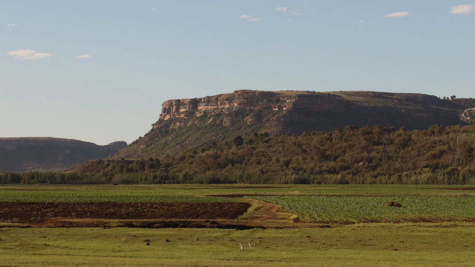
DAILY GEOGRAPHY BRIEF · NO. 192
Lesotho sits entirely above 1,000 metres and has no lowland. It is the country with the highest low point on Earth, plus a mosque in Mali and a hidden peak.
Read issue →43 ·
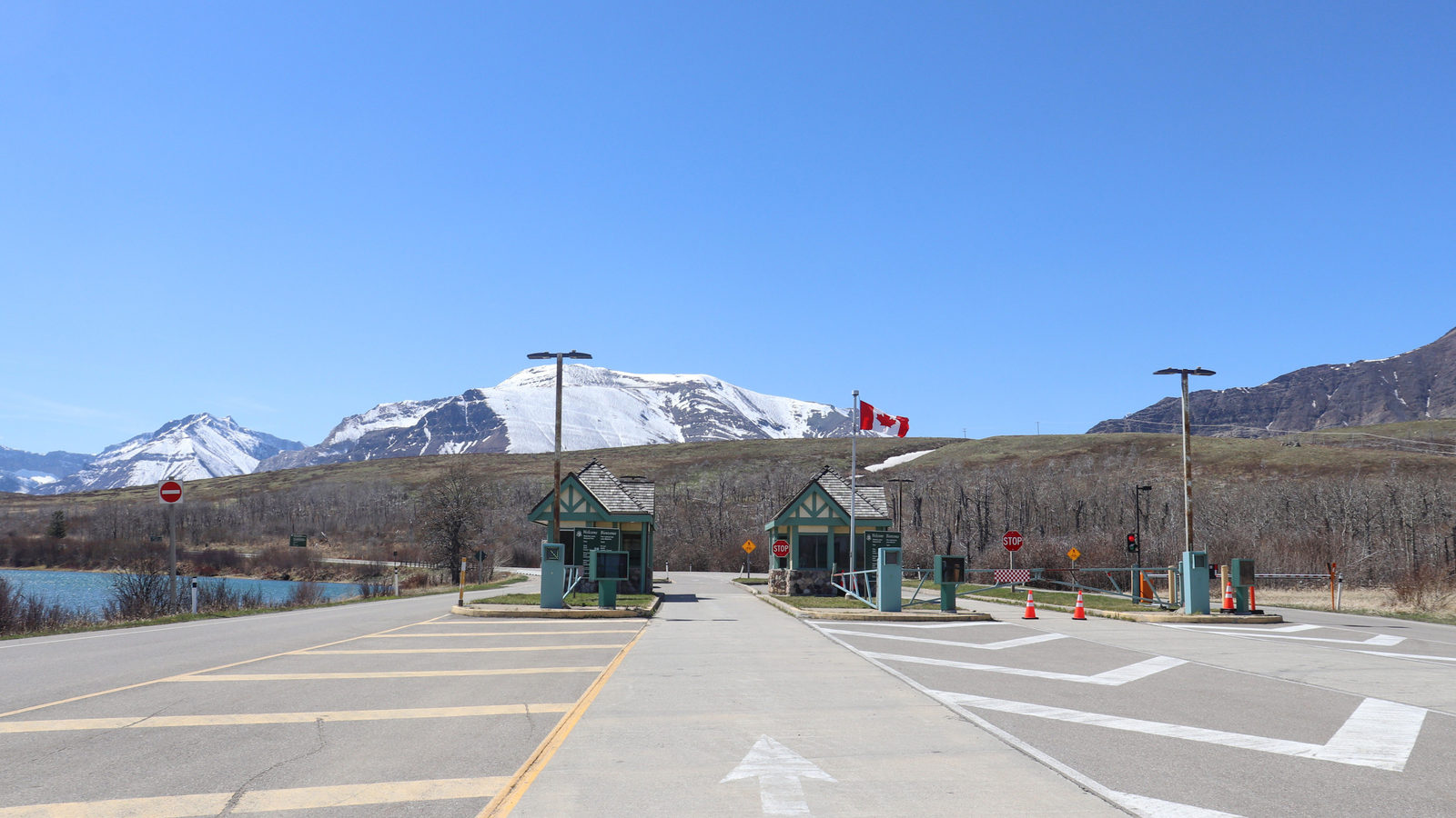
DAILY GEOGRAPHY BRIEF · NO. 197
Point Roberts, Washington, sits below the Canadian border, so reaching the rest of the United States means driving through Canada and back across twice.
Read issue →44 ·
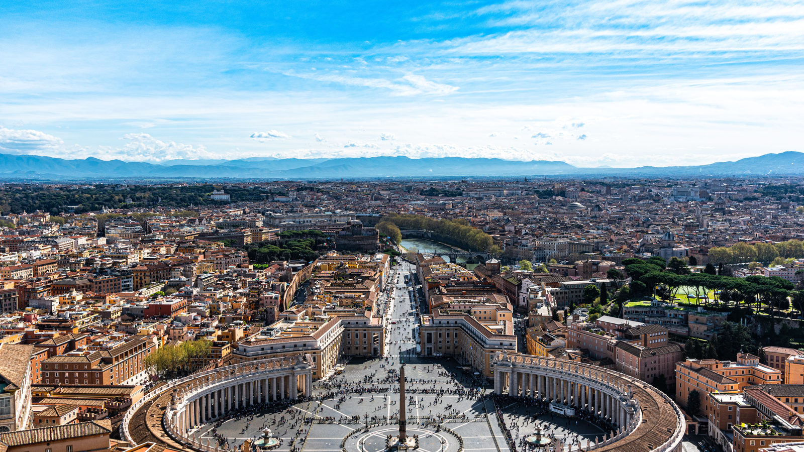
DAILY GEOGRAPHY BRIEF · NO. 198
Seattle, on the US Pacific coast, sits about 435 kilometres farther north than Toronto, Canada, because the border dips south near the Great Lakes.
Read issue →FREE · WEEKLY EMAIL · GEOGRAPHY
A new geography brief on the site every day, and one in your inbox every week.