Good morning
In 1498, Columbus sighted three hilltops rising together off a lone island and named it Trinidad, certain he'd found the edge of Asia. He was staring at the mouth of the Orinoco, a continent he refused to believe existed.
Maps have always been a little wrong, less from malice than from the gap between what's famous and what's true. Today we look at that gap in a flag symbol nobody questions, a cape that took another cape's fame and a lake that holds more water than it shows.
In today's edition
- The flag symbol nobody actually recognizes
- Africa's real southern tip, minus the fame
- A lake that hides most of its water
- Three corners of the globe, remapped
- A silhouette daring you to place it
- A flag revealed one piece at a time
Ashoka Chakra · Fact of the day
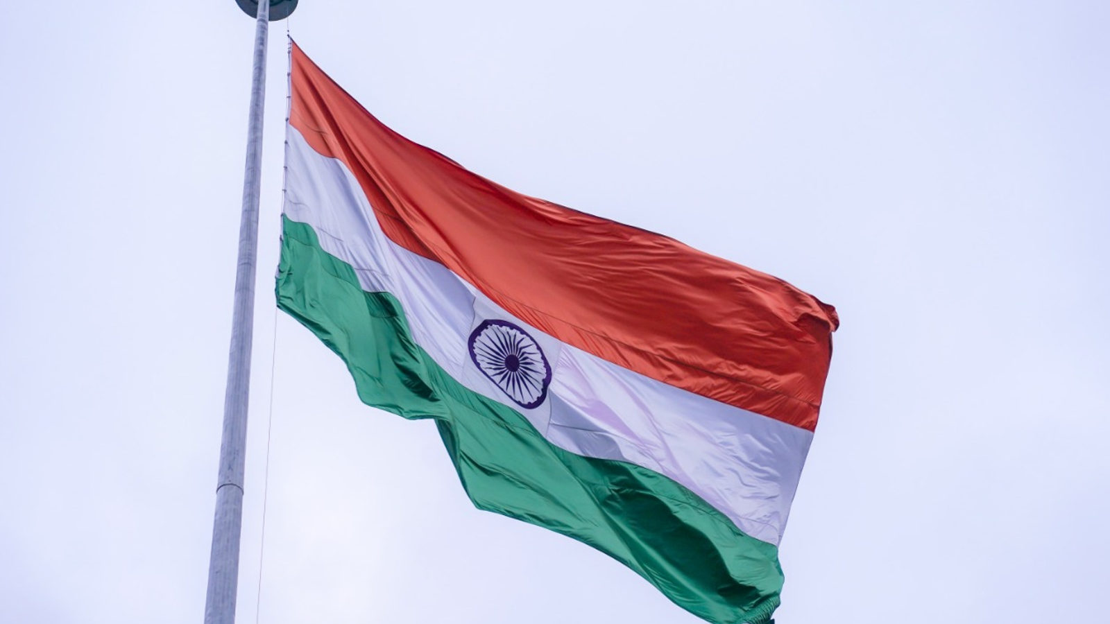
The wheel on India's flag is Ashoka's, not Gandhi's
Most people assume the blue wheel at the center of India's flag is the charkha: Gandhi's spinning wheel and the emblem of homespun independence. It isn't. When the flag was formally adopted on 22 July 1947, the charkha was swapped out for the Ashoka Chakra, a 24-spoke dharma-wheel lifted from the ancient Lion Capital of Ashoka.
The swap was a deliberate re-symbolizing: instead of commemorating hand-spun cloth, the new wheel points to dharma, the eternal law, borrowed from a 3rd-century-BC Buddhist monument. Same shape, same spot on the flag, but a completely different object and meaning.
↗ Send this fact to a friend34.83° S, 20.00° E · Place of the day
Cape Agulhas, Africa's true southern tip
Wind-scoured, low, and studded with a single squat lighthouse, Cape Agulhas doesn't look like the edge of a continent. It looks like a fishing village that wandered too far from anywhere. But this is the true bottom tip of Africa at roughly 34°50′S, not the storied Cape of Good Hope 150 km to the northwest that gets all the postcards.
It's Agulhas' own meridian, 20°E, that officially splits the Atlantic from the Indian Ocean, not the famous Cape. Stand on the rocks here and you're straddling the real seam between two oceans, while the tour buses idle 150 km away at the wrong headland.
 Play today's Worldle
↻ The feed · what moved
The UK-Mauritius deal over the Chagos Archipelago The UK-Mauritius deal transfers sovereignty of the Chagos Archipelago, redrawing who holds the Indian Ocean's most contested atoll chain, while keeping the US-UK military base at Diego Garcia in place under a long-term lease arrangement.
A Pacific volcano that builds land Eruptions at Tonga's Home Reef seamount have pushed land above the waterline more than once, a reminder that the Pacific's map of islands is still being actively drawn by undersea volcanism, not settled centuries ago.
A23a's drift and breakup near South Georgia A23a, the trillion-ton berg that broke off Antarctica decades ago, drifted slowly and broke apart near South Georgia, forcing repeated resurveys of shipping lanes and wildlife-protection zones scattered across its unpredictable path.
Between issues
If today's fact or place rattled your mental map, this is where you find out how shaky the rest of it is.
 Play today's GeoGrid →
Locate the country
Today's mystery shape · 14 September 2026
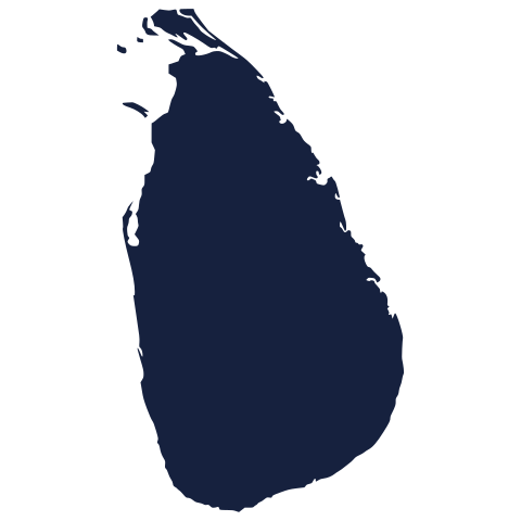
Today's mystery shape is waiting: make your guess, and we'll reveal it tomorrow.
Guess it on Worldle →Yesterday, revealed
Yesterday, 13 September 2026
It was Puerto Rico, the answer to yesterday's mystery shape.
6.52° S, 29.82° E · By the numbers
Big lake, bigger lake
Lake Victoria wins on the map: it's Africa's widest lake by a mile, the one every atlas draws largest. But drop a plumb line and the story flips completely: shallow Victoria averages just 40 m deep, while narrow, rift-valley Tanganyika plunges to 1,470 m in places. That depth alone lets Tanganyika hold 6.9 times more water in barely half the surface area, as much fresh water as all five Great Lakes combined, under a footprint nobody notices. Surface area photographs well. Depth is where the water actually lives.
FREE · DAILY · GEOGRAPHY
Put the world in your inbox.
One surprising, entertaining geography brief each day. No spam; just a better sense of place.
That's the world
See you tomorrow. The Teuteuf team
Sources: Wikipedia: Flag of India · The Wire: 'What Gandhi Said as the National Flag Moved From the Charkha to the Chakra' · Wikipedia: Cape Agulhas · Encyclopaedia Britannica: Cape Agulhas · WorldAtlas: Cape Agulhas