Good morning
In 1947, India adopted a new flag and retired an old assumption along with it. Everyone expected Gandhi's spinning wheel at the center; instead ministers reached back 2,300 years to a dharma-wheel carved on a stone pillar.
Symbols get reused and redefined: the shape survives while the meaning underneath keeps moving. Today we follow that same slippage to a river with more borders than any other and a mountain that people's mental maps put in the wrong hemisphere.
In today's edition
- Why the EU flag never adds a star
- The equatorial mountain nobody expects
- One river, ten countries, no contest
- Three spots where the map shifted
- Yesterday's answer, and today's mystery shape
- Crossing borders the short way round
European flag stars · Fact of the day
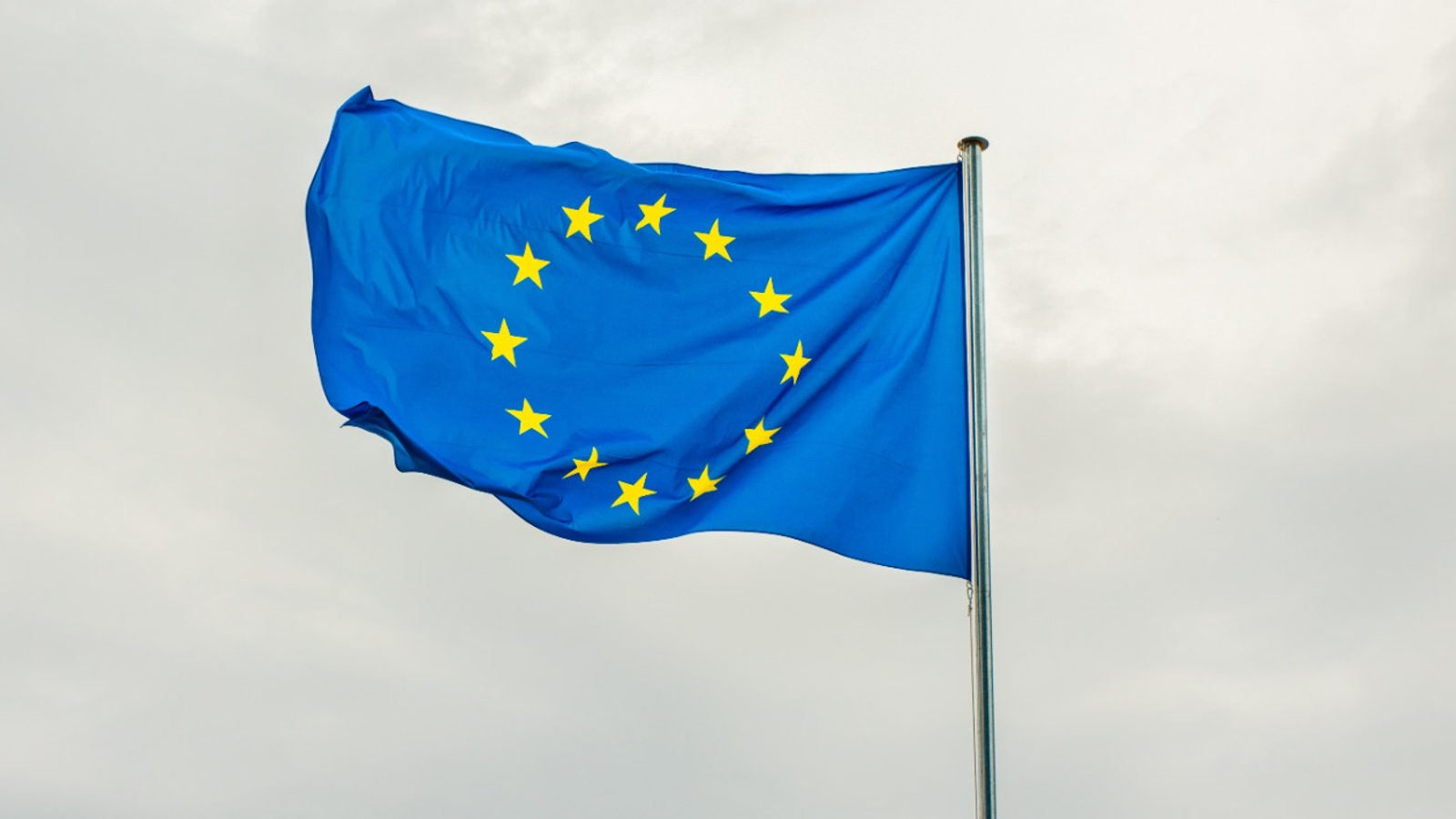
Why the EU flag never adds a star
Most people assume the European flag's 12 gold stars track membership, one per country, updated as the club grows. It doesn't work that way, and never has.
When the Council of Europe adopted the ring of stars in 1955, it fixed the number at 12 as a symbol of perfection and completeness, deliberately detached from any headcount. Like the months of the year or the hours on a clock, it is a closed circle rather than a census.
So the flag never changed as membership exploded. The Council of Europe now has 46 members, the EU 27, yet the circle still holds exactly 12 stars, unchanged since 1955. The flag was never a count in the first place.
↗ Send this fact to a friend4.08° S, 137.18° E · Place of the day
Oceania's highest peak sits near the equator
Ask where Oceania's highest point is, and most people point at the Southern Alps or the Snowy Mountains. Both are wrong. The real summit sits on the equator, buried in New Guinea's central cordillera, where a limestone spike called Puncak Jaya (the Carstensz Pyramid) climbs to 4,884 metres: more than double Australia's Kosciuszko and over a kilometre above New Zealand's Aoraki.
It also carries the last equatorial glaciers between the Andes and Africa: sheets of ice sitting almost on the equator and shrinking fast enough that they may vanish within a generation. Geographers filed this island under 'tropical Asia' and missed that its jungle peaks were the tallest thing in the whole Pacific.
 Play today's Worldle
↻ The feed · what moved
Antarctic ice shelf redraws the coastline Satellite passes showed the shelf's calving front retreating further than any prior measurement, shifting the baseline cartographers use as Antarctica's edge and the maps used for territorial claims there.
Nusantara, a capital carved from Borneo rainforest Since 2022, construction of Nusantara, Indonesia's planned capital, has been carving permanent government districts out of Borneo rainforest, adding built-up area where no city appeared on any map before.
Pacific atoll chain remapped after seafloor shift A volcanic uplift event nudged several islets in a remote Pacific chain by measurable centimeters, prompting hydrographic offices to reissue nautical charts for the surrounding shipping lanes.
Between issues
Come see whether a coastline you think you know is the one that fools everyone. One silhouette a day, no atlas allowed.
Play today's WorldleLocate the country
Today's mystery shape · 13 September 2026
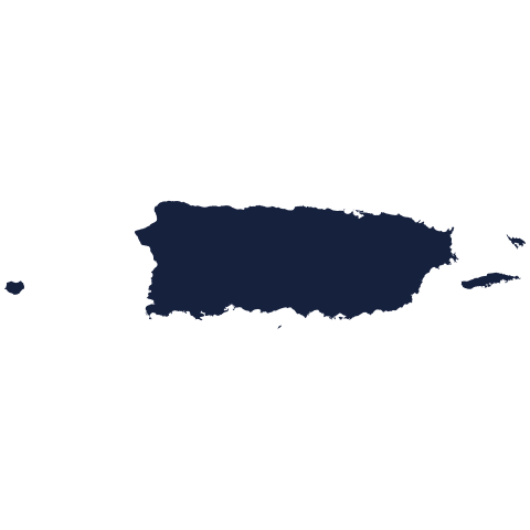
Today's mystery shape is waiting: make your guess, and we'll reveal it tomorrow.
Guess it on Worldle →Yesterday, revealed
Yesterday, 12 September 2026
It was Burundi, the answer to yesterday's mystery shape.
45.24° N, 29.75° E · By the numbers
Countries touched, not miles run
Length is the wrong yardstick here. The Danube isn't even in the world's top 25 rivers by length, yet it touches more countries than any river on Earth: ten of them, from Germany's Black Forest to Ukraine's Black Sea delta. That edges out the far longer Nile by one and beats the Amazon basin's count. The reason is geography, not size: the Danube runs sideways across Europe's densest patchwork of borders, so every bend introduces it to a new flag. A modest river stitches together a continent's history, one crossing at a time.
FREE · WEEKLY EMAIL · GEOGRAPHY
Put the world in your inbox.
A new geography brief on the site every day, and one in your inbox every week.
That's the world
See you tomorrow. The Teuteuf team
Sources: Council of Europe: The European flag · Wikipedia: Puncak Jaya · Wikipedia: Danube · European Union: The EU flag · National Geographic Education: Puncak Jaya