Good morning
In 1867, the United States paid Russia about $7.2 million, roughly 2 cents an acre, for Alaska, a territory more than twice the size of Texas. Secretary of State William Seward negotiated the deal, which added vast forests, tundra and coastline to the country.
Today's issue looks at some of the odd lines Alaska crosses, a mountain where water splits three ways, and why part of Canada lies south of Chicago.
In today's edition
- Canada's border holds a surprise near Chicago
- One mountain feeds three separate oceans
- Alaska's strange brush with the calendar
- How long the Great Lakes hold their water
- Trace a path between neighbouring countries
Canada · Fact of the day
Canada's southernmost point is south of Chicago
Most people assume Canada sits entirely north of the United States, divided from it by a straight border along the 49th parallel. That line is accurate for about 2,000 kilometres west of the Great Lakes. East of the lakes, though, the border follows water, not latitude.
Canada's southernmost point is Middle Island, a small island in Lake Erie that forms part of Point Pelee National Park in Ontario. The island sits about 22 kilometres south of downtown Chicago. That places it south of the 42nd parallel, the line of latitude that forms the northern border of California and Nevada. Twenty-seven of the fifty US states have land north of this single Canadian island. The climate matches the latitude: Point Pelee even grows prickly pear cactus.
↗ Send this fact to a friend48.39° N, 113.90° W · Place of the day
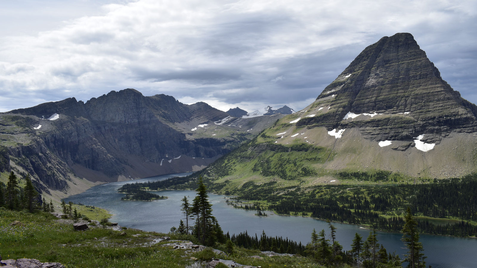
Triple Divide Peak, Montana
Triple Divide Peak is a mountain in Glacier National Park, in the US state of Montana, close to the border with Canada. It sits where two ridges meet: the Continental Divide, which separates rivers flowing towards the Pacific from those flowing towards the Atlantic, and a second ridge called the Laurentian Divide.
Rain and melting snow landing on its summit split three ways. Some water flows west down the Columbia River to the Pacific Ocean. Some flows southeast down the Missouri and Mississippi rivers to the Gulf of Mexico. The rest flows north through the Saskatchewan river system to Hudson Bay, in northern Canada. This makes Montana the only US state whose rivers reach three separate seas. Only about six such triple divides exist on Earth. The peak itself rises to 2,444 metres above sea level.
 Play today's Worldle
↻ Also on the map
Alaska's calendar skipped eleven days in 1867 In 1867, Russia handed Alaska to the United States. On the same night, officials changed its calendar and moved it to the other side of the International Date Line. The territory jumped from Friday 6 October straight to Friday 18 October. The dates 7 to 17 October never happened there.
The Grand Canyon lies entirely within Arizona The Grand Canyon sits inside a single US state, Arizona. It stretches about 446 kilometres, roughly the distance from London to Edinburgh. The Colorado River carved it over millions of years, cutting as deep as 1,800 metres in places.
Between issues
Travle asks you to connect two countries using only their shared borders, picking each neighbour with care so you do not run out of moves along the way. It is a quiet puzzle that teaches you the shape of continents.
 Play today's Travle
Locate the country
Today's mystery shape · 7 October 2026
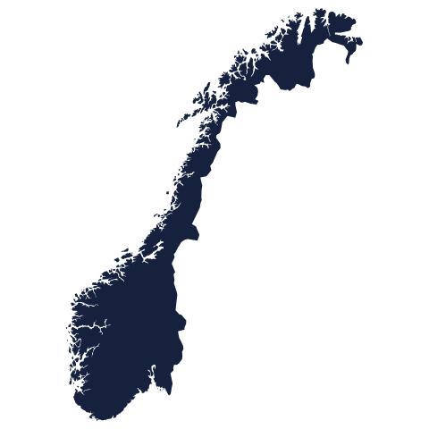
Today's silhouette is waiting for your guess. Study its outline, trust your instinct, and see how many tries it takes to name the country. We reveal the answer tomorrow.
Guess it on Worldle →Yesterday, revealed
Yesterday, 6 October 2026
It was Guinea-Bissau, Yesterday's country tripped up plenty of sharp guessers, and that is part of the fun of this game. If you got it in one, well done indeed. If not, a fresh shape is waiting for you today, ready for another try.
47.50° N, 87.50° W · By the numbers
How long water stays in the Great Lakes
Lake Superior is the largest and deepest of North America's five Great Lakes. It also holds on to its water the longest. A drop entering the lake today will, on average, stay there for about 191 years before leaving. Lake Michigan holds water for about 99 years, roughly half as long. Lake Erie, the shallowest of the five, empties far faster: water passes through it in about 2.6 years. Superior drains through one narrow outlet, the St Marys River, which is why it keeps its water for so long. This matters because anything that pollutes Superior lingers there for generations before it clears. Erie, by contrast, flushes pollution away within just a few years.
FREE · DAILY · GEOGRAPHY
Put the world in your inbox.
One surprising, entertaining geography brief each day. No spam; just a better sense of place.
That's the world
See you tomorrow. The Teuteuf team
Sources: Natural Resources Canada: Canadian Geographical Names Database (GeoGratis geoname service), record FEBHA 'Middle Island', Essex, Ontario · Encyclopædia Britannica: "Montana" · Wikipedia: Alaska Day · UNESCO World Heritage Centre: Grand Canyon National Park (inscribed 1979) · Encyclopaedia Britannica: "Great Lakes: Physiography"