Good morning
On 24 October 1945, the United Nations came into being. Enough countries had ratified its founding Charter for it to take legal effect. It began with 51 member states. They promised to work together after the devastation of the Second World War. Today it has 193 members.
Today's issue looks at Africa's lesser known glaciers and South Africa's three capital cities. It also covers a plateau in Asia higher than the tallest peak in the contiguous United States.
In today's edition
- Why Africa has a third glacier
- Robben Island's link to Nelson Mandela
- South Africa's capital split three ways
- Angkor Wat, the world's largest religious building
- A plateau higher than Mount Whitney's summit
- Trace the shortest hop between two countries
Glaciers · Fact of the day
The Rwenzori Mountains hold Africa's third glacier
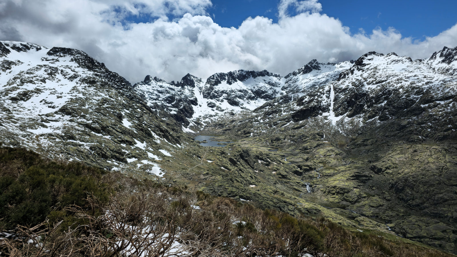
Most people who know Africa has snow can name two mountains: Kilimanjaro, in Tanzania, and Mount Kenya, in Kenya. There is a third. The Rwenzori Mountains sit on the border between Uganda and the Democratic Republic of the Congo. They still carry ice near their highest point, Margherita Peak. It rises 5,109 metres above sea level, roughly seventeen Eiffel Towers stacked on top of each other.
In 2021 and 2022, that ice covered just 0.38 square kilometres, about the size of Monaco's old town. It had shrunk from 6.51 square kilometres in 1906. All three ranges sit within about three degrees of the equator. They stay cold only because they stand so high that the air above them rarely warms above freezing.
↗ Send this fact to a friend33.92° S, 18.42° E · Place of the day
Robben Island
Robben Island is a small island in Table Bay, just off the coast of Cape Town, South Africa. It lies about 11 kilometres offshore, a crossing of roughly half an hour by boat, and is administratively treated as a suburb of the city.
For most of the twentieth century it served as a prison. Nelson Mandela, the anti-apartheid leader who later became South Africa's president, spent 18 of his 27 years in prison there, from June 1964 to 31 March 1982.
After his release in February 1990, Mandela spoke to the crowds from the balcony of Cape Town's City Hall. It stood on the mainland he had been able to see from his cell.
 Play today's Worldle
↻ Also on the map
South Africa has three capital cities South Africa splits its government across three cities. Pretoria holds the executive branch, Cape Town holds Parliament, and Bloemfontein holds the top court of appeal. The split dates to 1910, when four rival colonies merged into one country.
Angkor Wat is the world's largest religious building Angkor Wat stands in Siem Reap Province, Cambodia. It covers about 162 hectares, roughly the size of 200 football pitches. UNESCO added the park around it to its World Heritage list in 1992.
Between issues
GeoGrid gives you a 3 by 3 grid of countries, each row and column defined by a shared trait like a border, a capital letter or a flag colour. Fill every box correctly and you complete the grid.
 Play today's GeoGrid
Locate the country
Today's mystery shape · 24 October 2026
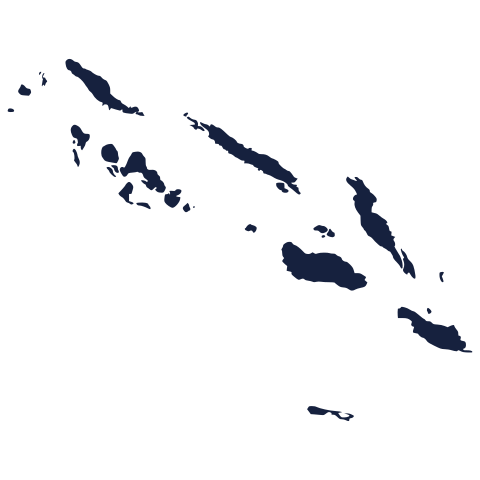
Today's silhouette is waiting below. Look closely at its coastline and borders, then take your best guess at which country it is. We reveal the answer tomorrow.
Guess it on Worldle →Yesterday, revealed
Yesterday, 23 October 2026
It was Central African Republic, Yesterday's country caught out a good number of readers, and that is no surprise: coastlines can be deceptive at a glance. If you guessed correctly, well done. If not, no matter, there is a fresh shape to study today.
33.40° N, 84.50° E · By the numbers
The Tibetan Plateau sits higher than Mount Whitney's summit
The Tibetan Plateau, a high stretch of Central Asia north of the Himalayas, sits at an average height of about 4,500 metres above sea level. That is the typical ground level across an area roughly the size of Western Europe, not one single peak. Mount Whitney, the highest point in the contiguous United States, tops out at 4,421 metres. That is lower than the plateau's average floor. A hiker reaching Mount Whitney's summit would still be standing below the normal ground level across Tibet.
FREE · WEEKLY EMAIL · GEOGRAPHY
Put the world in your inbox.
A new geography brief on the site every day, and one in your inbox every week.
That's the world
See you tomorrow. The Teuteuf team
Sources: Wikipedia: 'Rwenzori Mountains' · The Nobel Foundation / Nobel Prize Outreach: 'Nelson Mandela: Biographical' (Les Prix Nobel 1993) · Encyclopaedia Britannica, "Bloemfontein | Free State, judicial hub, Orange River" · Guinness World Records: Largest religious structure · NASA Earth Observatory: "Winter on the Roof of the World" (Image of the Day)