Good morning
On 23 October 1942, the Second Battle of El Alamein began in Egypt. British and Commonwealth troops attacked German and Italian forces near the Mediterranean coast, in a fight that helped turn the Second World War in North Africa.
Today's issue looks at islands that defy expectations: one growing instead of sinking, one almost touching a foreign coast, and one that counts time in half hours.
In today's edition
- What is actually happening to Tuvalu's land
- An Australian island barely off New Guinea's coast
- How far east Mexico City really sits
- Where Bounty mutineers' descendants settled
- The only place with a half-hour clock shift
- Spot the countries sharing a tricky grid
Tuvalu · Fact of the day
Tuvalu's land area has grown, not shrunk
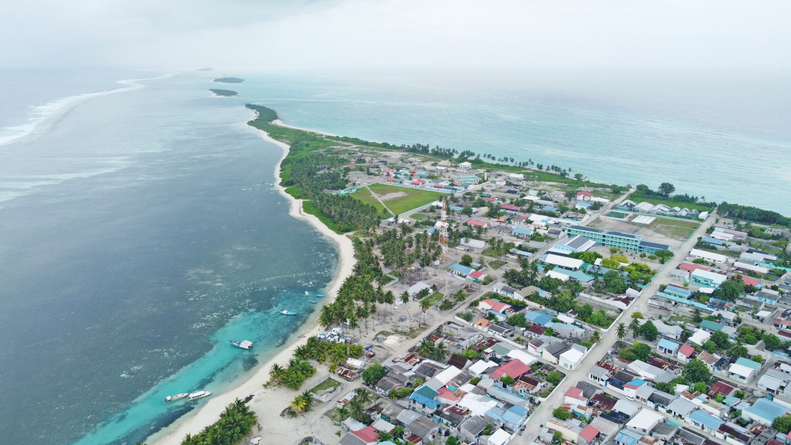
Tuvalu, a nation of nine coral atolls in the Pacific Ocean, is usually described as sinking beneath the waves. Sea level there rose about 15 centimetres between 1971 and 2014, nearly twice the global average for that period.
Yet when researchers measured the islands themselves, they found the opposite. Tuvalu's total land area grew by about 74 hectares, roughly the size of 100 football pitches, and 73 of its 101 reef islands gained ground rather than losing it.
Coral reefs constantly shed sand and rubble. Storms then push this material onto the islands, so rising water can build new land as well as wear it away. This growth does not make Tuvalu safe: high tide flooding is worsening, and most Tuvaluans have applied for a resettlement visa in Australia.
↗ Send this fact to a friend9.35° S, 142.65° E · Place of the day
Saibai Island
Saibai Island is Australian territory in the Torres Strait, the stretch of water between the northern tip of Australia and Papua New Guinea. It lies only about 4 kilometres off the Papua New Guinea coast. That is far closer than it is to the Australian mainland.
In 1978, Australia and Papua New Guinea signed a treaty that drew the border to loop around Saibai and 14 other islands. This kept them Australian, even though they sit on the Papua New Guinea side of the line. Their waters were also set at a shorter 3 nautical miles, rather than the usual 12, so Australian waters would not swallow the whole strait.
Saibai residents can see Papua New Guinea from their village. Under the treaty's rules, they can cross the border without a passport.
 Play today's Worldle
↻ Also on the map
Pitcairn's descendants mostly live on Norfolk Island In 1856, Britain moved all 194 Pitcairn Islanders to Norfolk Island, a former penal colony in the Pacific. They descended from mutineers on His Majesty's Ship Bounty, known as HMS Bounty. Most stayed. Today, a quarter of Norfolk Island's 2,188 residents claim Pitcairn ancestry, ten times the 50 people still on Pitcairn.
Lord Howe Island shifts its clocks by half an hour Lord Howe Island is an Australian island 600 kilometres east of New South Wales. It is the only place on Earth where daylight saving shifts clocks by 30 minutes. This keeps its 445 residents half an hour ahead of Sydney in winter, and level with it in summer.
Between issues
Travle challenges you to connect two countries using only their neighbours, one border crossing at a time. Working out which countries actually touch each other, and in what order, is a satisfying kind of puzzle.
 Play today's Travle
Locate the country
Today's mystery shape · 23 October 2026
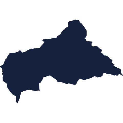
Today's silhouette is waiting for your best guess. Study the outline, trust your instinct, and see how close you can get before you check. We reveal it tomorrow.
Guess it on Worldle →Yesterday, revealed
Yesterday, 22 October 2026
It was Kazakhstan, Yesterday's silhouette was trickier than it looked for plenty of readers. If you didn't quite place it, you were in good company: some borders only click once you see the name. Better luck with today's shape.
19.43° N, 99.13° W · By the numbers
How far east Mexico City sits
Mexico City sits at about 99 degrees west. New Mexico's eastern border runs along 103 degrees west. That is a gap of roughly 400 kilometres, similar to the distance from London to Edinburgh. The city also lies east of all of Colorado, and only about 40 kilometres west of San Antonio, Texas. A shared border and a shared name suggest Mexico lies due south of its namesake U.S. state. In fact, Mexico widens eastward as it runs south, so its capital sits far to the east of the American Southwest. This is why maps built on a simple north-south picture of the border can mislead readers.
FREE · WEEKLY EMAIL · GEOGRAPHY
Put the world in your inbox.
A new geography brief on the site every day, and one in your inbox every week.
That's the world
See you tomorrow. The Teuteuf team
Sources: UN News (United Nations): 'Earth Day: The battle to save a drowning Pacific island nation', by Edouard de Bray · Wikipedia: "Saibai Island" · Government of the Pitcairn Islands, official website: "Pitcairn's History" · NSW Department of Communities and Justice: 'Definitions of time and how time is regulated' (the state agency responsible for the Standard Time Act 1987) · Wikipedia, "Geography of New Mexico"