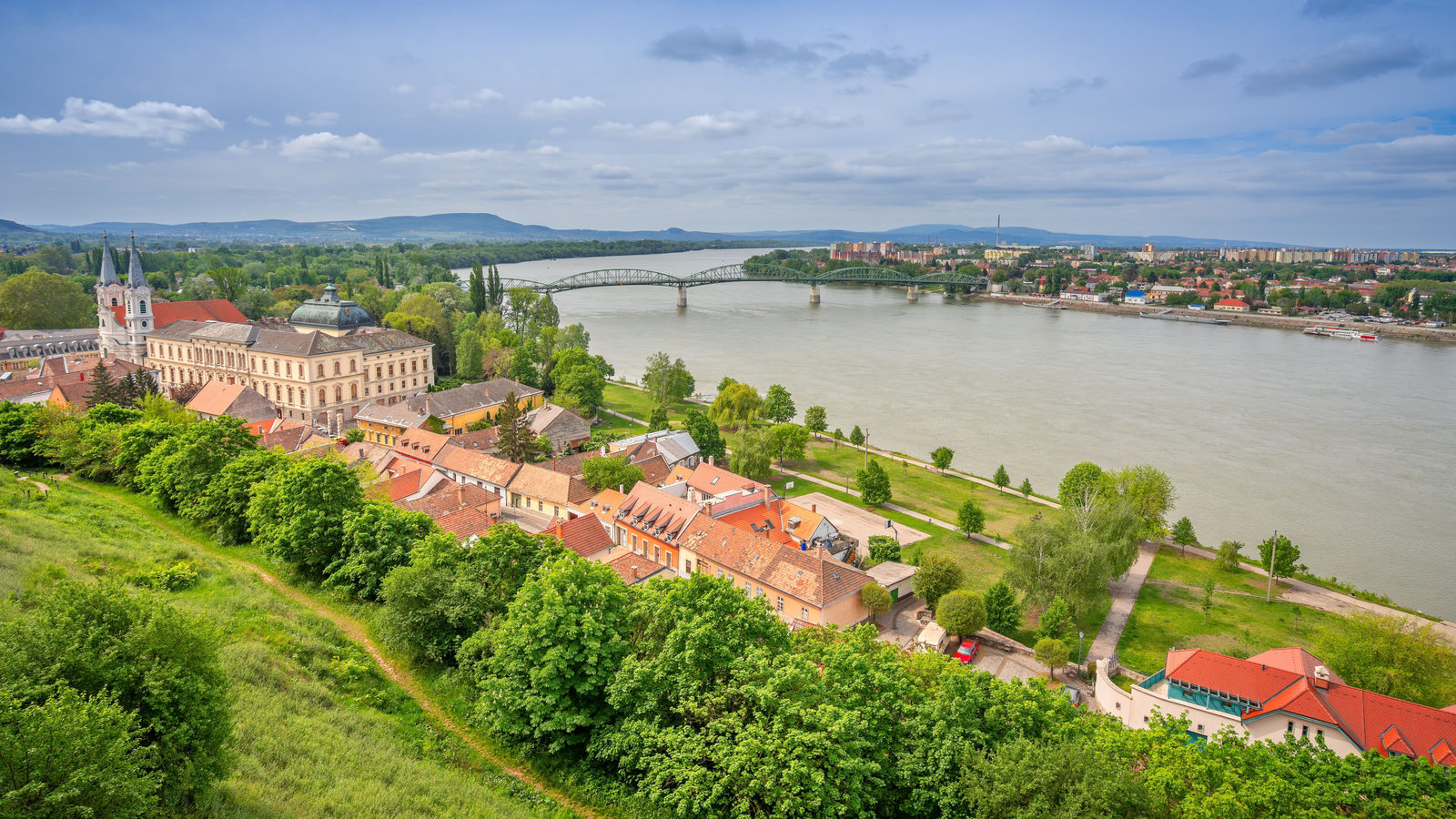
Good morning
On 22 October 1797, André-Jacques Garnerin stepped out of a hot air balloon high above Paris, France, and floated safely to the ground under a canopy he had designed himself. It is remembered as the first parachute descent from such a height, landing him in a field on the edge of the city.
Today's issue follows water, lightning and land to places that rarely sit still. A river vanishes underground, a lake holds the record for storms, and a country grows its own coastline.
In today's edition
- Why part of the Danube misses the sea
- Venezuela's lake known for near constant lightning
- How Monaco added land to the Mediterranean
- The UK's single border and Brazil's language
- Guess the country from its outline
- Fill a grid with matching countries
Danube · Fact of the day
Some of the Danube's water reaches the North Sea, not the Black Sea
Most people picture the Danube as one river that flows all the way from Germany to the Black Sea without a break.
Near its source at Immendingen, Germany, the riverbed runs completely dry for about 150 days a year. The water has not vanished. It sinks into cracked limestone rock, called karst, and travels underground. Within about two and a half days it rises again 12 kilometres away, at the Aachtopf, Germany's largest spring. From there it flows into the Rhine and reaches the North Sea instead.
This happens because limestone slowly dissolves, leaving tunnels wide enough for a river to pass through unseen, underneath the ridge that is meant to separate the two drainage basins.
↗ Send this fact to a friend10.62° N, 71.62° W · Place of the day
Lake Maracaibo
Lake Maracaibo is a large lake in northwestern Venezuela, a country in South America. A narrow strait links it to the Caribbean Sea.
It holds a distinction no other place on Earth can claim: it is the most lightning-struck spot on the planet. NASA satellite data gathered from 1998 to 2013 measured this. The lake sees about 233 lightning flashes per square kilometre every year, ahead of the closest rival, in the Democratic Republic of the Congo.
On most nights, lightning lights up the sky above the lake. Scientists counted roughly 297 thunderstorms a year there, which works out to about four nights in every five.
 Play today's Worldle
↻ Also on the map
The United Kingdom has only one land border The United Kingdom is made up of four nations. They are England, Scotland, Wales and Northern Ireland. Even so, it has just one land border. It runs about 500 kilometres, between Northern Ireland and the Republic of Ireland.
Brazil speaks Portuguese, the language of a much smaller country Brazil's constitution names Portuguese as its official language. Brazil has about 212 million people. Portugal, the country the language comes from, has far fewer. Brazil's population is roughly 20 times as large.
Every Thursday · 30 questions
Thursday Thirty is live.
It's quiz day. Today's thirty questions take you from coastlines and capitals to rivers and borders around the world. Have a go below and see how your score compares with other readers.
 Play this week's Thirty →
Last week, in numbers · October Thursday 15th · w40 · 15 October 2026
How 34,734 players scored · w40
Between issues
Fancy a different kind of map puzzle? In GeoGrid, you fill a 3 by 3 grid with countries, where each row and column has its own rule to satisfy. It rewards both broad knowledge and careful thinking about each square.
 Play today's GeoGrid
Locate the country
Today's mystery shape · 22 October 2026
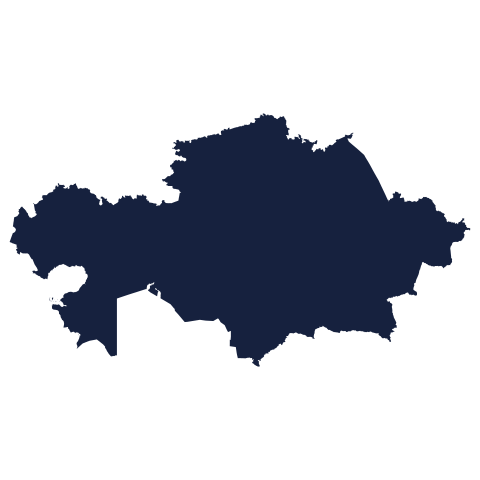
Today's silhouette is waiting for your guess. Look at the outline, think about its coastline and shape, and see if you can place it on the map. We reveal the answer tomorrow.
Guess it on Worldle →Yesterday, revealed
Yesterday, 21 October 2026
It was Sudan, Yesterday's silhouette is revealed below. If you guessed correctly, well done. If not, every shape gets easier to read with a little practice, and there is a new country, and a new chance, waiting for you tomorrow.
43.74° N, 7.42° E · By the numbers
Monaco's size, before and after it added land in 2024
Monaco is the world's second-smallest country, at only 208 hectares. For comparison, New York's Central Park covers about 341 hectares, bigger than the whole country. In 2024, Monaco opened a district called Mareterra. It added 6 hectares of land reclaimed from the Mediterranean Sea. That is a small patch, but it grew the country's total area by about 3%. Reclaimed land now makes up more than a quarter of Monaco. For a country this short on space, every hectare counts.
FREE · WEEKLY EMAIL · GEOGRAPHY
Put the world in your inbox.
A new geography brief on the site every day, and one in your inbox every week.
That's the world
See you tomorrow. The Teuteuf team
Sources: Behrmann-Godel, Nolte, Kreiselmaier, Berka & Freyhof, 'The first European cave fish', Current Biology 27(7):R257–R258: indexed at PubMed (U.S. National Library of Medicine, NIH) · AccuWeather, 'Earth's lightning capital gets 22,000 strikes per day', by Jesse Ferrell, AccuWeather meteorologist · Office for National Statistics: Service manual, content style guide: 'Countries and regions' · Federal Senate of Brazil: official English translation, Constitution of the Federative Republic of Brazil 1988 · Wikipedia, "Land reclamation in Monaco"