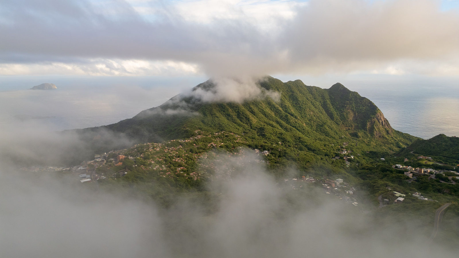
Good morning
On 12 October 1492, sailors aboard Christopher Columbus's ships sighted land in the Bahamas. They had crossed the Atlantic Ocean from Spain in five weeks. It was the first confirmed European contact with the Americas in modern history, and it opened centuries of trade and settlement.
Today's issue looks at the Americas and Europe. We cover a Caribbean island that holds a Dutch record, and a capital city slowly sinking into its own lake bed.
In today's edition
- The Netherlands' true high point sits elsewhere
- The oldest European-founded city in the Americas
- How fast Mexico City is sinking
- Central America's coastlines and Europe's most shared river
- Fill a grid of countries
Netherlands highest point · Fact of the day
The Netherlands' highest point is a Caribbean volcano
Ask most people what the highest point of the Netherlands is, and they will say the Vaalserberg, a hill of 322 metres in the country's far south. Within Europe, that is still correct.
But the country's true highest point is Mount Scenery, a dormant volcano on Saba, a small island in the Caribbean Sea. It stands about 870 metres tall, nearly three times the height of the Vaalserberg.
Saba became a special municipality of the Netherlands on 10 October 2010, so its land now counts as Dutch territory. That single administrative change moved the national high point about 7,000 kilometres west overnight, and tripled its height.
↗ Send this fact to a friend18.49° N, 69.93° W · Place of the day
Santo Domingo
Santo Domingo is the capital of the Dominican Republic. The country shares the Caribbean island of Hispaniola with Haiti.
It is the oldest city in the Americas built by Europeans where people still live today. Bartholomew Columbus, brother of Christopher Columbus, built it on the Ozama River in 1496. That was 69 years before St Augustine, Florida, the oldest such city in what is now the United States.
The city still has the Americas' first cathedral. It also has the Americas' first university, started in 1538. Both were built while most of the continent was still unknown to Europeans.
 Play today's Worldle
↻ Also on the map
Belize has no coast on the Pacific Ocean Of Central America's seven countries, Belize is the only one with no coast on the Pacific Ocean. Its entire 386 kilometre coastline faces the Caribbean Sea instead. Honduras, often pictured as purely Caribbean, actually reaches the Pacific through a short stretch of shore on the Gulf of Fonseca.
The Danube flows through more countries than any other river The Danube's catchment area is shared by nineteen countries, more than any other river basin on Earth. The river itself flows through ten of them over 2,857 kilometres. Four national capitals, Vienna, Bratislava, Budapest and Belgrade, sit directly on its banks.
Between issues
Fancy a change of pace? In GeoGrid, you fill a nine square grid with countries, where each row and column sets its own rule. It rewards a good memory for maps and a bit of lateral thinking.
 Play today's GeoGrid →
Locate the country
Today's mystery shape · 12 October 2026
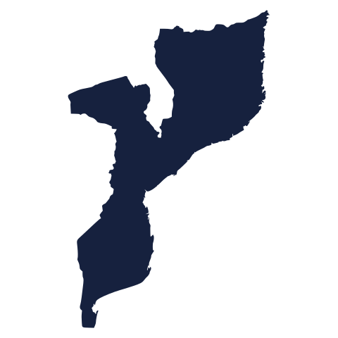
Today's silhouette is waiting below. Study its outline and take your best guess at the country. Not sure? Have a go anyway, we reveal it tomorrow.
Guess it on Worldle →Yesterday, revealed
Yesterday, 11 October 2026
It was United Arab Emirates, Yesterday's silhouette was trickier than it looked for plenty of readers. If you landed on it in a couple of guesses, well done. If not, there is a fresh one waiting for you today.
19.43° N, 99.13° W · By the numbers
How fast Mexico City is sinking
Between October 2025 and January 2026, a radar satellite named NISAR, short for NASA-ISRO Synthetic Aperture Radar, measured how fast parts of Mexico City are sinking. The worst-hit areas, including the main airport and a well known monument on Paseo de la Reforma, are sinking by more than two centimetres a month. Over a year, that adds up to about 25 centimetres, roughly the length of a school ruler. The city has already sunk more than 12 metres since the early 1900s, about as tall as a four storey building. This happens because Mexico City was built on a drained lake bed, and pumping water from underground keeps compressing the soft clay beneath it.
FREE · WEEKLY EMAIL · GEOGRAPHY
Put the world in your inbox.
A new geography brief on the site every day, and one in your inbox every week.
That's the world
See you tomorrow. The Teuteuf team
Sources: NOS (Dutch public broadcaster): 'Hoogste punt Nederland lager dan gedacht: berg op Saba "slechts" 870 meter' · UNESCO World Heritage Centre: Colonial City of Santo Domingo (site 526) · CIA World Factbook 2024, Belize: Geography (theodora.com mirror of the public-domain text) · NASA Earth Observatory: "Where the Danube Meets the Black Sea" · NASA Jet Propulsion Laboratory, "US-Indian Space Mission Maps Extreme Subsidence in Mexico City"