Good morning
On 13 October 1792, workers laid the cornerstone of the White House in Washington, D.C., the future home of the president of the United States. The design had been chosen only months earlier, through a public competition. The architect, James Hoban, won it against several rivals.
Today's issue looks at distance, shape and scale. We cover a mountain farther from Earth's centre than Everest. We also cover a reef more varied than its famous Australian neighbour, and a country more than 20 times longer than it is wide.
In today's edition
- Chimborazo beats Everest for distance from Earth's core
- New Caledonia's reef out-diversifies its famous neighbour
- Chile's extreme length against its narrow width
- A Dutch captain's early landfall in Australia
- Guess today's mystery silhouette on the map
- Name a country for every row and column
Chimborazo · Fact of the day
Mount Chimborazo is farther from Earth's centre than Mount Everest
Most people assume Mount Everest is the point on Earth farthest from the planet's centre. It is, after all, the tallest mountain above sea level, at 8,848 metres, on the border of Nepal and China. But the summit of Mount Chimborazo, a volcano in Ecuador, sits about 2,072 metres farther from that centre, even though it stands only 6,263 metres tall. That gap is roughly the height of another small mountain stacked on top.
The reason is that Earth is not a perfect sphere. Spinning on its axis makes the planet bulge outward at the equator by about 21 kilometres, compared with the poles. Chimborazo sits barely 1.5 degrees south of the equator, right on that bulge. Everest lies farther north, where the planet curves in closer to its centre.
↗ Send this fact to a friend21.25° S, 165.30° E · Place of the day
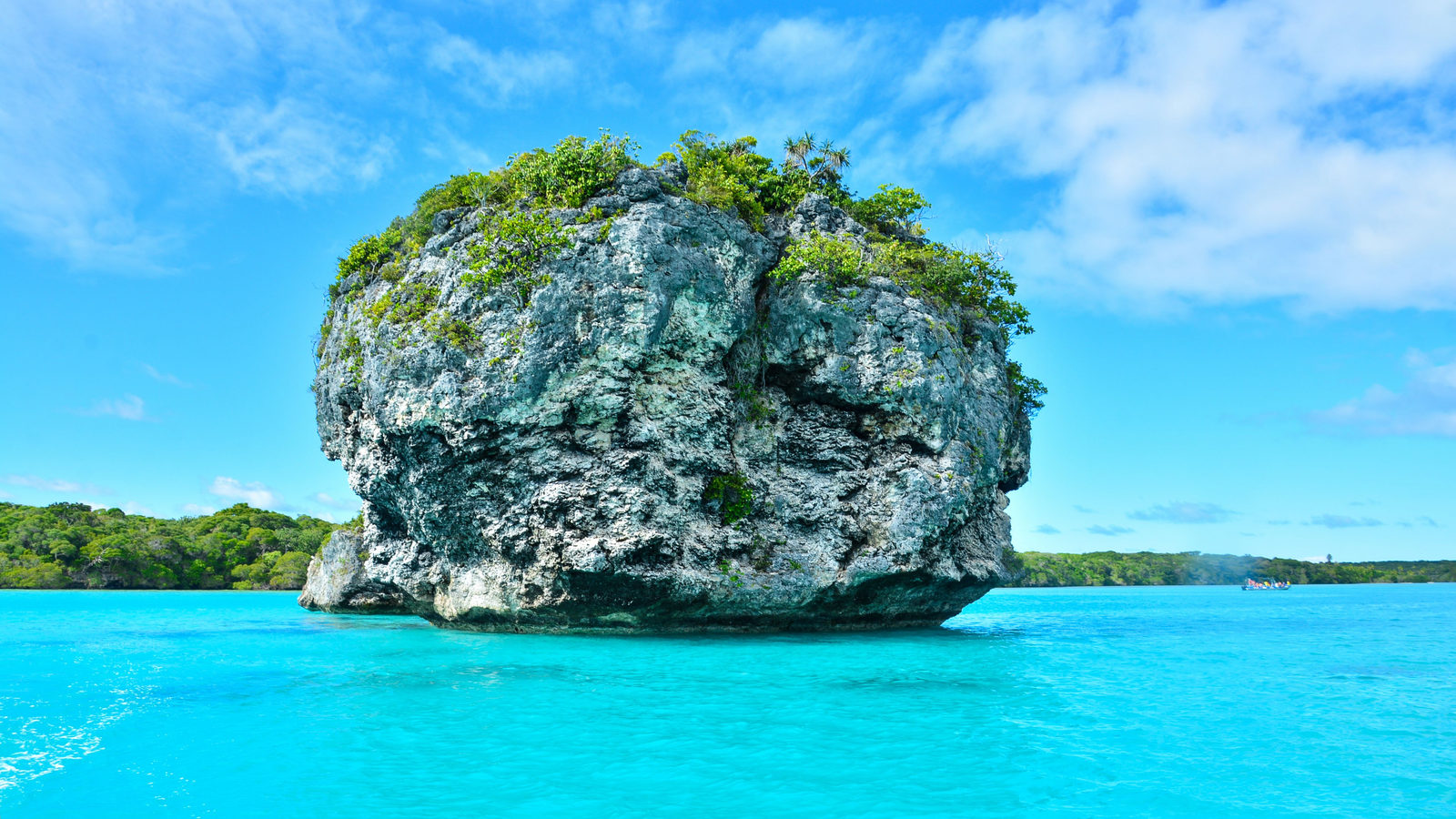
New Caledonia
New Caledonia is a French territory in the Pacific Ocean, east of Australia. Its main island, Grande Terre, is ringed by a lagoon that UNESCO lists as a World Heritage Site for its coral reefs.
The reef is unusual because it holds more different reef shapes than the Great Barrier Reef off Australia, even though it covers only about an eighth of the area. UNESCO's listing recognises 146 distinct reef types there. That variety exists because the reef sits out in open ocean rather than hugging a coastline, giving it steep drop-offs on one side and shallow, sheltered water on the other.
The numbers make the point clearly: about 1,000 samplings in New Caledonia's lagoon found 320 species of hard coral. The Great Barrier Reef needed 40,000 samplings to find no more than 400.
 Play today's Worldle
↻ Also on the map
A Dutchman reached Australia before Cook Dutch navigator Willem Janszoon landed on Australia's Cape York Peninsula in 1606. He sailed a ship called the Duyfken. That was 164 years before James Cook's famous 1770 voyage, often taught as Europe's first contact with the continent.
Australia's coat of arms shows a kangaroo and an emu Australia's national coat of arms, granted in 1912, is held up by a kangaroo on one side and an emu on the other. The shield between them carries badges from the country's six states.
Between issues
Fancy a different kind of map challenge? GeoGrid gives you a three by three grid and asks you to name a country that fits each row and column at once, mixing geography with a little lateral thinking.
 Play today's GeoGrid
Locate the country
Today's mystery shape · 13 October 2026
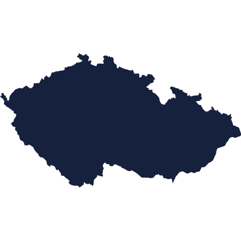
Today's silhouette is waiting above. Study its outline and see if you can place it on the map. We reveal the answer tomorrow, so take your best guess now.
Guess it on Worldle →Yesterday, revealed
Yesterday, 12 October 2026
It was Mozambique, Yesterday's silhouette was trickier than it looked for plenty of readers. If you missed it, don't worry: every shape gets easier to spot once you know the outline to look for.
35.68° S, 71.54° W · By the numbers
Chile's length compared with its width
Chile runs about 4,270 kilometres from its border with Peru in the north to Cape Horn in the south. That is roughly the distance from London to Moscow. Yet it averages only about 175 kilometres across, making it more than 20 times longer than it is wide. The whole country covers about 756,100 square kilometres, which fits that huge length into a narrow ribbon of land running down South America's Pacific coast. That shape is why Chile spans deserts, forests and glaciers within one border.
FREE · WEEKLY EMAIL · GEOGRAPHY
Put the world in your inbox.
A new geography brief on the site every day, and one in your inbox every week.
That's the world
See you tomorrow. The Teuteuf team
Sources: NOAA National Ocean Service / National Geodetic Survey: 'What is the highest point on Earth as measured from Earth's center?' · UNESCO World Heritage Centre: 'Lagoons of New Caledonia: Reef Diversity and Associated Ecosystems' (site 1115), Statement of Outstanding Universal Value, inscribed 2008; standing listing retrieved 2026-08-08 · Australian National Maritime Museum: '1606: Contact at Cape Keerweer' · Encyclopaedia Britannica: Flag of Australia / Australia: national symbols · Encyclopaedia Britannica: Chile