Good morning
On 15 October 1582, much of Catholic Europe woke up ten days ahead of where it had gone to sleep. Spain, Portugal and Italy switched from the old Julian calendar to the new Gregorian one. Officials simply let 4 October be followed by 15 October, to correct centuries of drift against the seasons.
Today's issue looks at how borders, rivers and flags do not always sit where habit expects them to.
In today's edition
- Why Africa's top edge beats Sicily north
- Monrovia's name honours a US president
- Three rivers run side by side, end apart
- The Yangtze never leaves one country
- Guess today's silhouette before we reveal it
- Fill a grid of countries row by row
Tunisia · Fact of the day
Africa's northernmost point is north of Sicily
Most people picture Africa and Europe as two stacked bands, with Europe entirely on top. The crossing between Gibraltar and Morocco seems to confirm it. But Africa's true northern tip lies much further east: Ras ben Sakka, at Cape Angela in Tunisia, sits at about 37°21' north.
That is roughly 78 kilometres, a little further than London is from Oxford, north of the southern tip of Sicily, an Italian island off the foot of mainland Italy. It is also north of the whole of Malta.
The reason is simple. Past Morocco and Algeria, the coast does not keep running east to west. It curves sharply north-east. The headlands near Bizerte, Tunisia's northernmost city, push past the latitude of southern Italy before the coast turns south again towards Libya.
↗ Send this fact to a friend6.32° N, 10.81° W · Place of the day
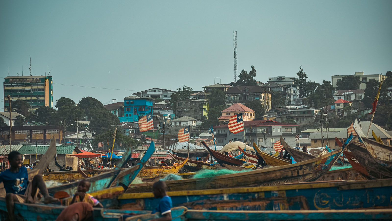
Monrovia
Monrovia is the capital of Liberia, a country on the Atlantic coast of West Africa. Settlers from the United States founded it in 1822 as a home for freed and formerly enslaved African Americans. They first called it Christopolis.
In 1824, they renamed it Monrovia. The name honours James Monroe, the fifth president of the United States, who had helped send government funds to the settlement. Few capital cities anywhere are named after a foreign head of state, and fewer still after one who never visited.
The settlement grew into Liberia. In 1847, it declared independence and became Africa's first republic. Monrovia's streets still carry that history, including Ashmun Street, named after an early colonial administrator, and Broad Street, the city's old commercial spine.
 Play today's Worldle
↻ Also on the map
Three rivers run side by side into three different seas In north-west Yunnan, a region in south-west China, the upper Yangtze, Mekong and Salween rivers run parallel for over 300 kilometres. At one point they come within 20 kilometres of each other. Yet they end up roughly 2,500 kilometres apart, emptying into three separate seas.
Nepal's flag is the only one that is not a rectangle Every other country flies a rectangular flag, but Nepal, a country in the Himalayas, uses a crimson double pennant made of two stacked triangles. It is also the only national flag that is taller than it is wide.
Every Thursday · 30 questions
Thursday Thirty is live.
It is Thursday, which means the weekly Thursday Thirty quiz is ready for you: thirty questions covering rivers, capitals, borders and flags from every continent. Some questions are gentle, others will make you second-guess a map you thought you knew well. Play at your own pace, then come back tomorrow to see your result alongside the average score and which questions caused the most trouble for other readers.
 Play this week's Thirty →
Last week, in numbers · October Thursday 8th · w39 · 8 October 2026
How 32,872 players scored · w39
Between issues
Fancy something different today? GeoGrid asks you to fill a nine-square grid with countries that fit both a row and a column category at once, like a crossword made of maps. It rewards knowledge you did not know you had.
 Play today's GeoGrid
Locate the country
Today's mystery shape · 15 October 2026
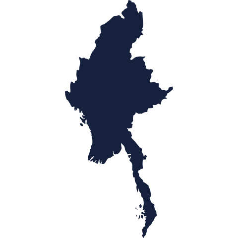
Today's mystery silhouette is waiting below: no borders, no names, just a shape. Take a guess at which country it is, and we reveal it tomorrow.
Guess it on Worldle →Yesterday, revealed
Yesterday, 14 October 2026
It was Trinidad and Tobago, Yesterday's silhouette is revealed below. If you guessed right, well played. If not, no matter: every shape gets easier to spot with practice, and there is a fresh one waiting for you today.
31.23° N, 121.47° E · By the numbers
The world's three longest rivers
The Yangtze, in China, is the world's third-longest river, after the Nile and the Amazon. It runs about 6,300 kilometres, roughly the distance from London to Beijing, from the Tibetan Plateau to the East China Sea at Shanghai. What sets it apart is that the whole route stays inside one country. The Nile crosses eleven countries and the Amazon crosses two, but every drop of the Yangtze flows through China alone. That makes it the longest river on Earth to never cross a border.
FREE · WEEKLY EMAIL · GEOGRAPHY
Put the world in your inbox.
A new geography brief on the site every day, and one in your inbox every week.
That's the world
See you tomorrow. The Teuteuf team
Sources: Encyclopædia Britannica: 'Africa' (physical geography, extremities) · U.S. Department of State, Office of the Historian: 'Founding of Liberia, 1847' · UNESCO World Heritage Centre: "Three Parallel Rivers of Yunnan Protected Areas" (site 1083), inscribed 2003, criteria (vii)(viii)(ix)(x) · CNN Travel: "The mysterious, mathematical origins of the world's most unusually shaped national flag" (Lilit Marcus) · Guinness World Records: 'Longest river with its entire drainage system in one country'