Good morning
On 11 October 1968, NASA launched Apollo 7, the first crewed flight of its Apollo programme. Three astronauts orbited Earth for eleven days, testing the command module that would later carry people to the Moon.
Today's issue looks at a country whose real capital surprises many visitors. It also visits a legendary desert city, and the rivers and coastlines that shape Africa's map.
In today's edition
- Why Myanmar moved its capital from Yangon
- Timbuktu is a real place in Mali
- The Niger River's odd path to the sea
- Africa's longest coastline belongs to Somalia
- Guess a country from its outline
- Fit nine countries into one grid
Nay Pyi Taw · Fact of the day
Myanmar's capital is Nay Pyi Taw, not Yangon
Most people picture Yangon, formerly Rangoon, as Myanmar's capital. It is the country's largest city and main port, and was the capital for more than a century.
The actual capital is Nay Pyi Taw, a city built from scratch in scrubland near the small town of Pyinmana, about 320 kilometres north of Yangon. In November 2005, the military government moved the entire administration there with almost no public notice. It was formally declared the capital in March 2006.
The new capital's territory covers about 7,000 square kilometres, roughly four and a half times the area of Greater London. Yet only around 1.2 million people live there, far fewer than Yangon's 7.4 million. Its wide roads, built for twenty lanes of traffic, are often empty.
↗ Send this fact to a friend16.76° N, 3.01° W · Place of the day
Timbuktu
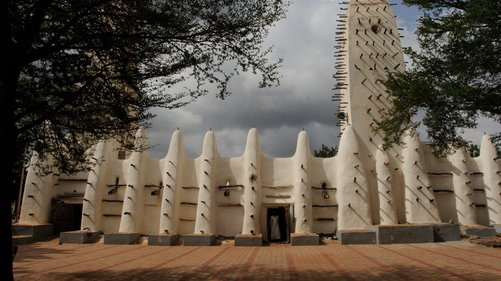
Timbuktu is often used as a byword for somewhere impossibly far away, but it is a real city. It sits on the edge of the Sahara desert, in Mali, a landlocked country in West Africa.
For centuries it was a meeting point for camel caravans crossing the desert, and a centre of Islamic learning where scholars gathered and copied manuscripts. In 1988, UNESCO added it to its World Heritage List for its three great mosques, built from mud and wood, including the Sankore Mosque, finished in the 14th century.
Those earthen mosques need fresh plaster every year, because the Sahara's rare but heavy rains slowly wash the mud away.
 Play today's Worldle
↻ Also on the map
The Niger River flows inland before reaching the ocean The Niger River rises in Guinea, only 240 km from the Atlantic Ocean. Instead of flowing there, it heads into the Sahara, past Timbuktu. It then turns south and reaches the ocean in Nigeria, 4,180 km later, seventeen times longer than a straight line would be.
Somalia has mainland Africa's longest coastline Somalia sits in the Horn of Africa. Its coastline runs about 3,333 kilometres, along the Gulf of Aden and the Indian Ocean. That is longer than any other country on mainland Africa. South Africa's coast, by comparison, is 2,798 kilometres. Only Madagascar has a longer coastline anywhere in Africa, at 4,828 kilometres.
Between issues
GeoGrid gives you a nine-square grid, each row and column asking for a country that fits a different clue. Fill every box correctly, and you complete the puzzle. It rewards careful geography knowledge and a bit of lateral thinking.
 Play today's GeoGrid →
Locate the country
Today's mystery shape · 11 October 2026
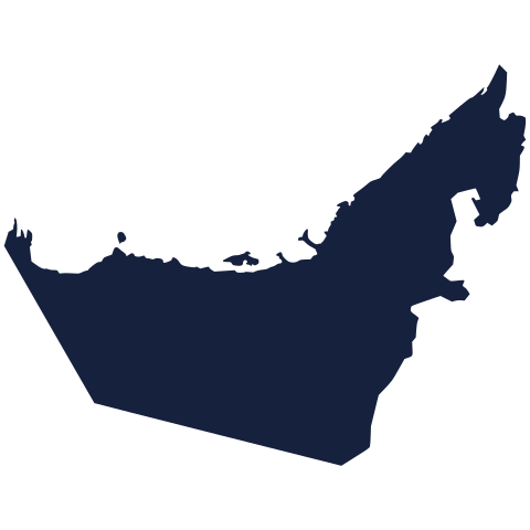
Today's silhouette is waiting for your guess. Study its outline, take your best shot, and see how close you get. We reveal the answer tomorrow.
Guess it on Worldle →Yesterday, revealed
Yesterday, 10 October 2026
It was France, If you didn't guess it, don't worry. The shape alone can be tricky without borders or landmarks to help. Have a look at the outline again, and you may spot a clue for next time.
31.20° N, 31.10° E · By the numbers
Africa's two longest rivers
The Nile is Africa's longest river. It runs about 6,650 kilometres from its remotest source to the Mediterranean Sea. That is roughly one and a half times the width of the contiguous United States, coast to coast. The Congo River comes second. It covers about 4,700 kilometres. That is nearly 2,000 kilometres shorter than the Nile. Both rivers cross many countries on their way to the sea, and rely on rain falling far from where the water finally arrives. Knowing which river is longest matters because it shows how much land, and how many people, depend on a single waterway.
FREE · WEEKLY EMAIL · GEOGRAPHY
Put the world in your inbox.
A new geography brief on the site every day, and one in your inbox every week.
That's the world
See you tomorrow. The Teuteuf team
Sources: BBC News: Myanmar country profile · UNESCO World Heritage Centre: Timbuktu (site 119) · EBSCO Research Starters: "Niger River" (Temitope Israel Borokini) · FAO (Food and Agriculture Organization of the UN), FAO in Somalia news release · Encyclopaedia Britannica: Nile River