Good morning
In 1609, Henry Hudson's crew aboard the Halve Maen sighted a long, wooded island at the mouth of a wide river, and logged it as unremarkable: one more coastline to chart on the way to somewhere else.
They were looking for a shortcut to Asia. They found Manhattan instead, and never quite understood what they'd stumbled on. Today's issue is about that same gap. It's the difference between what a map shows and what it actually means.
In today's edition
- Why the Dutch flag lost its orange
- A sea with no coastline at all
- Australia's width outruns the Moon
- Three redraws of the world map
- A grid game for map obsessives
- Questions to sort atlas readers from guessers
Orange · Fact of the day
Why the Dutch flag isn't orange
Ask anyone to picture the Dutch flag and orange comes to mind first. It's the national colour, the football shirts, the King's Day streets flooded in it every April. But the actual flag is red, white, and blue, with no orange anywhere on it.
It wasn't always this way. The 16th-century 'Prince's Flag' really did have an orange top stripe. Orange dye, though, faded fast and was harder to produce than red, and as the Dutch Republic drifted from the House of Orange politically, the top stripe drifted with it and became red instead. The red-white-blue was made official by royal decree on 19 February 1937, closing a 300-year slide that nobody formally decided on until the very end.
↗ Send this fact to a friend30.00° N, 60.00° W · Place of the day
The sea with no shore
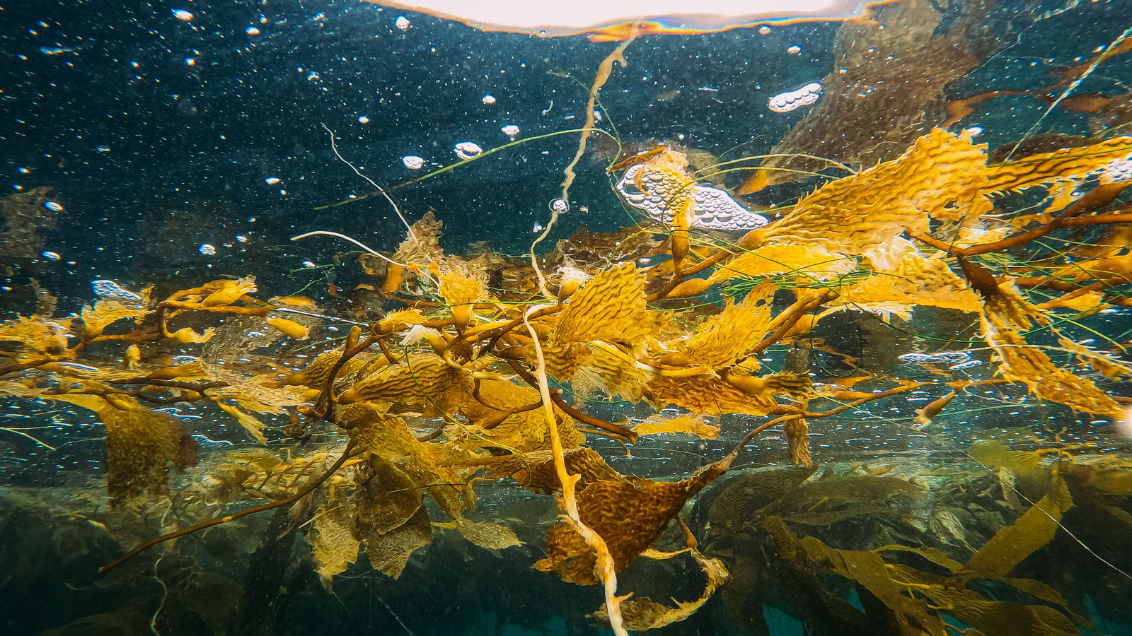
Out in the North Atlantic, well clear of any continent, floats a sea with nothing to call a coastline. The Sargasso Sea is the only sea on Earth bounded entirely by water in motion rather than land: the Gulf Stream, the North Atlantic Current, the Canary Current, and the North Atlantic Equatorial Current close around it like four walls that never stop moving, together forming the North Atlantic Gyre.
Sailors once dreaded it for the opposite of the reason ships usually fear the sea: not rocks but stillness, and mats of golden sargassum weed drifting on water so calm it seemed to trap them for weeks at a time. There's no port to sail into and no beach to land on, only a boundary made entirely of current.
 Play today's Worldle
↻ The feed · what moved
How Hans Island got its border Denmark and Canada ended a decades-long standoff over the tiny, uninhabited Arctic island by simply splitting it down the middle. It was the first new land border drawn between the two countries in over 50 years, agreed at a negotiating table instead of a battlefield.
Tonga's island that won't sit still The undersea volcano Home Reef erupted repeatedly through 2022 and 2023, piling ash and rock into an island that appears, erodes, and rebuilds itself between eruptions. Each version of its coastline has so far proven temporary.
Tuvalu's digital backup of itself Facing the most direct sea-level-rise threat of any nation, Tuvalu has been laser-scanning its islands to preserve a digital twin: a map built not to guide travel, but to outlast the land it describes.
Every Thursday · 30 questions
Thursday Thirty is live.
Thursday means it's quiz day, and the Thursday Thirty for 17 September 2026 is ready to separate the confident from the merely lucky. Thirty fresh questions span the usual sprawl of trivia terrain, engineered to flatter no one and humble plenty. Set a timer, resist the urge to peek, and see where you land against the rest of Meridian readers when the numbers come in below.
 Play this week's Thirty →
Last week, in numbers · September Thursday 10th · w35 · 10 September 2026
How 32,965 players scored · w35
Between issues
Nine countries, one grid, and the slow click of two clues locking into a place you almost remember. GeoGrid rewards the kind of half-buried geography knowledge you didn't know you still had.
 Play today's GeoGrid →
Locate the country
Today's mystery shape · 17 September 2026
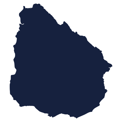
Today's silhouette is waiting below, coastline and all, for anyone bold enough to name it in one glance. Study the outline, trust your instincts, and lock in your guess. We reveal the answer tomorrow.
Guess it on Worldle →Yesterday, revealed
Yesterday, 16 September 2026
It was Heard Island and McDonald Islands, Yesterday's outline sent plenty of confident first guesses sailing wide before the right answer finally landed: no shame in it, some shapes are just built to mislead. See below for the country that had everyone second-guessing their geography.
25.30° S, 133.90° E · By the numbers
Wider than the Moon
Steep Point in Western Australia to Cape Byron in New South Wales: almost 4,000 km, coast to coast. Lay that distance end to end and it beats the Moon's own diameter. A single country's width outruns a whole world next door. It's a reminder that scale depends entirely on which line you choose to measure. Stack the Moon's full surface against Australia's land area and the Moon wins nearly fivefold; measure only the straight line across a continent, and the continent takes it. Bigness is a question of dimension as much as size.
FREE · DAILY · GEOGRAPHY
Put the world in your inbox.
One surprising, entertaining geography brief each day. No spam; just a better sense of place.
That's the world
See you tomorrow. The Teuteuf team
Sources: Royal House of the Netherlands (official) · Wikipedia: Flag of the Netherlands · Encyclopaedia Britannica: Flag of the Netherlands · NOAA Ocean Service: What is the Sargasso Sea? · Encyclopaedia Britannica: Sargasso Sea