Good morning
On 13 September 1922, a thermometer at El Azizia, Libya, recorded 58°C (136.4°F), the hottest temperature ever measured on Earth, a record that stood unquestioned for ninety years.
Then in 2012, the World Meteorological Organization struck it from the books, after finding the instrument, the observer, and the surface underneath had all been wrong. Today's edition looks at a few more confident assumptions that don't hold up.
In today's edition
- Why Spain's clock ignores the sun
- A 65,000-year-old rock shelter in Arnhem Land
- The Netherlands' real share below sea level
- New land forming on Iceland's coast
- A daily grid that tests your atlas
- One more outline to put on the map
Spain's clock · Fact of the day
Spain runs on the wrong time zone
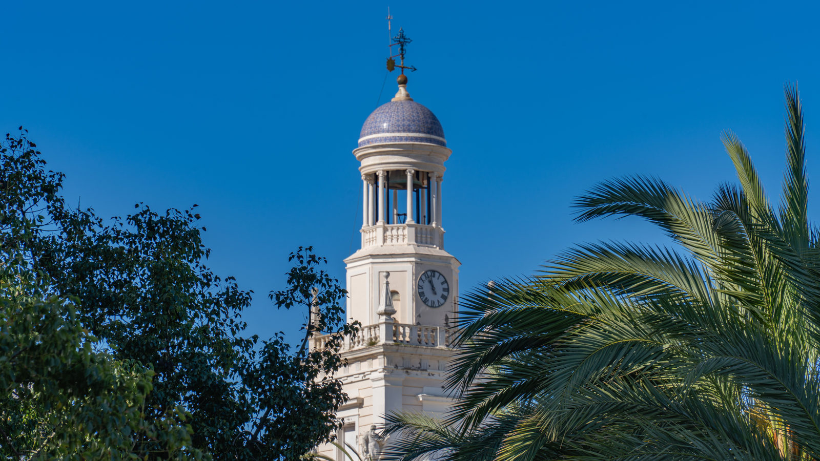
Look at a map and Spain seems to belong with Britain and Portugal on Greenwich Mean Time, since nearly all of its mainland sits west of the prime meridian. Yet set foot in Madrid and your phone says Central European Time (the same clock as Berlin and Warsaw), a full hour ahead of where the sun says it should be.
The mismatch comes from history, not geography. At midnight on 16–17 March 1940, Spain switched from GMT to CET to align with German-occupied Europe, and simply never switched back. The lag is worst in western Galicia, where clocks in summer run up to two and a half hours ahead of the actual solar day.
↗ Send this fact to a friend12.65° S, 134.20° E · Place of the day
Madjedbebe, Arnhem Land, Australia
A sandstone rock shelter in the far north of Australia's Arnhem Land, tucked at the edge of the Kakadu escarpment, looks at first like nothing more than an overhang worn smooth by weather. Dig through its floor, though, and the layers keep going: stone tools, ochre, seed grinders, pressed down through tens of thousands of years of continuous use.
Excavations here have pushed the record of human occupation in Australia back at least 65,000 years, more than ten times older than the pyramids of Egypt. It makes the culture that has lived on this land, and lives there still, the oldest continuous living culture on Earth.
 Play today's Worldle
↻ The feed · what moved
Iceland's Reykjanes, reshaped by lava Recurring fissure eruptions on the Reykjanes Peninsula have added basalt to the map over several years, burying roads and reshaping the coastline near Grindavík with each flow and forcing survey teams back out after every event.
Egypt's desert capital east of Cairo Egypt's New Administrative Capital, a city many maps did not label, spread into the desert 45 km east of Cairo, with a skyline and street grid appearing in satellite imagery where earlier images showed only sand.
Tuvalu maps its own disappearance Tuvalu has been laser-scanning and digitally replicating its nine islands, producing the most precise elevation survey the low-lying nation has ever had as it plans for land loss to rising seas and negotiates a digital twin of its territory.
Between issues
GeoGrid drops you into a nine-square lattice where every cell wants a different country, and the good answers start canceling each other out fast. It rewards the kind of stubborn mental atlas you didn't know you'd built.
 Play today's GeoGrid →
Locate the country
Today's mystery shape · 20 September 2026
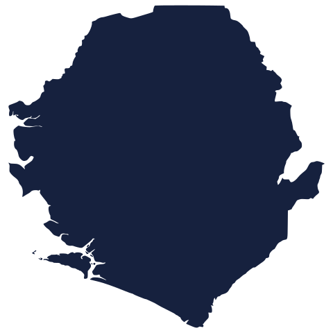
A fresh outline waits below, borders trimmed away and no flags in sight. Study the coastline, the proportions, the tilt of it. Take your best guess at Worldle, then check back tomorrow when we reveal it here.
Guess it on Worldle →Yesterday, revealed
Yesterday, 19 September 2026
It was Austria, Plenty of arrows pointed the wrong way yesterday, some drifting continents off course entirely before landing close. If your guess wandered far from the mark, you had company. The shape gives fewer clues than it seems to, and that is most of the fun.
52.13° N, 5.29° E · By the numbers
The Netherlands, by elevation
The 'Low Countries' nickname oversells itself: only about a quarter of the Netherlands actually sits below sea level, not the sweeping majority people assume from the dikes and the sub-sea-level airport. A further 29% is merely exposed to river flooding, sitting above sea level but still low-lying. The famous 55%-underwater claim conflates flood risk with elevation, and even a UN climate report has repeated the mix-up. Most of the country is dry ground doing an excellent job of looking precarious.
FREE · DAILY · GEOGRAPHY
Put the world in your inbox.
One surprising, entertaining geography brief each day. No spam; just a better sense of place.
That's the world
See you tomorrow. The Teuteuf team
Sources: Wikipedia: Time in Spain · NPR: Spain Has Been In The 'Wrong' Time Zone For 7 Decades · worlddata.info: CET time zone / Spain · Nature: Clarkson et al., 'Human occupation of northern Australia by 65,000 years ago' · Australian Geographic: DNA confirms Aboriginal culture one of Earth's oldest