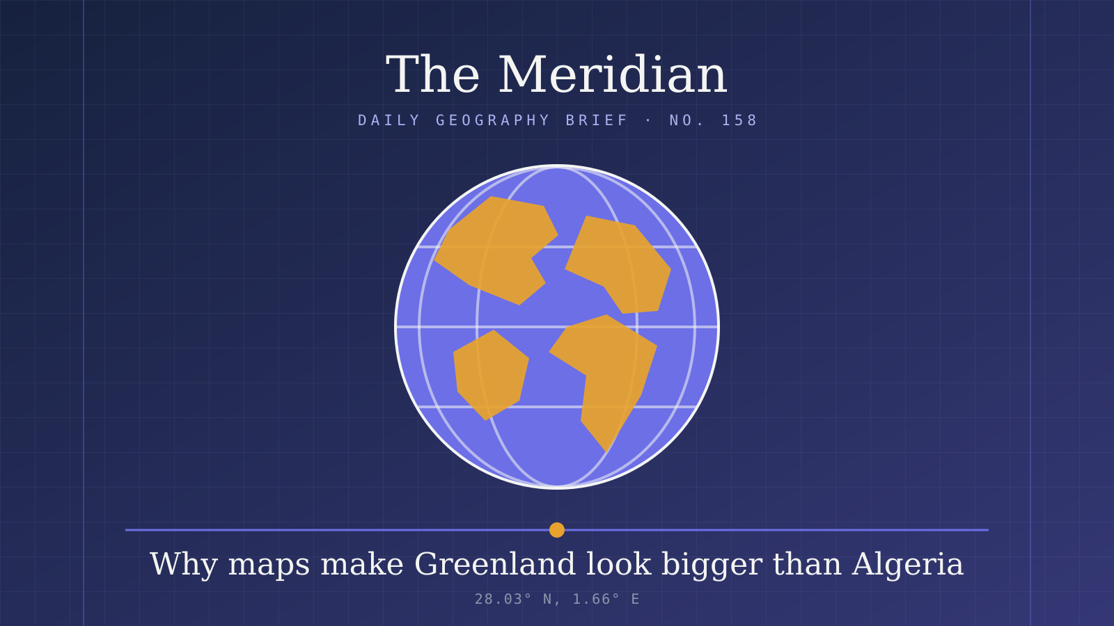
Good morning
Stand on the brass Prime Meridian line at the Royal Observatory in Greenwich and a GPS receiver will not read zero. It reads 00°00′05.3″ W, because the reference meridian used by satellite navigation runs about 102 metres east of the famous line.
Maps and measurements do not always agree. Today we start with the projection that makes Greenland look enormous, then cross to South America's largest island and count the pyramids of Sudan.
In today's edition
- Why Greenland looks bigger than Algeria
- South America's largest island, shared by two countries
- The country with the most pyramids
- Three figures, measured again
- Guess a country from its shape alone
Mercator projection · Fact of the day
How Mercator enlarges Greenland
On the standard Mercator world map, Greenland looks two to three times the size of Algeria. The real figures point the other way. Algeria, the largest country in Africa, covers 2,381,741 km², while Greenland covers 2,166,086 km², so Algeria has about 10% more land.
The difference comes from the projection. Mercator's map stretches landmasses more and more as they approach the poles, so Arctic Greenland is drawn far larger than it is, while Algeria, much closer to the equator, is barely distorted. On that map, the territory that looks two to three times bigger is the smaller of the two.
↗ Send this fact to a friend54.20° S, 69.20° W · Place of the day
Isla Grande de Tierra del Fuego
South of the Strait of Magellan, at the far southern tip of the continent, lies Isla Grande de Tierra del Fuego: a cold, wind-swept island that most people know only through Ushuaia and Cape Horn. Chile holds its western 61% and Argentina its eastern 39%, a division made in 1881. Its two biggest towns, Ushuaia and Río Grande, are both on the Argentine side.
At roughly 48,000 km², it is the largest island in South America. The tempting answer is Marajó, the tropical island in the Amazon delta, but Marajó covers about 40,100 km². The continent's biggest island sits in its cold south and belongs to two countries at once.
 Play today's Worldle
↻ The feed · what moved
Japan's island count, doubled in 2023 In 2023, Japan's Geospatial Information Authority recounted the country's islands with digital mapping and found about 14,125, each with at least 100 m of coastline. The official figure since a 1987 Japan Coast Guard survey had been 6,852, taken from coarser paper maps.
The Rhine, 87 km shorter than long printed For decades, atlases and encyclopaedias gave the Rhine's length as 1,320 km, a transposition of 1,230. Biologist Bruno P. Kremer exposed the error in March 2010, and in 2015 the Rhine basin's international hydrology commission fixed the length at 1,232.7 km.
About a quarter of Hong Kong is built-up Hong Kong's Planning Department, working from December 2024 satellite imagery, puts built-up land at 288 km², about 26% of the territory. Woodland, shrubland, grassland and wetland cover 65%, and country parks and special areas protect more than 40% of the land.
Between issues
GeoGrid gives you a three-by-three grid with a category on every row and column. Each square needs a country that fits both, so a half-remembered border or coastline can suddenly become the answer you were missing.
 Play today's GeoGrid →
Locate the country
Today's mystery shape · 21 September 2026
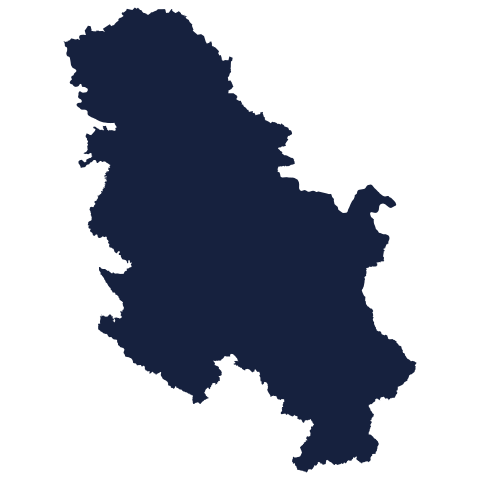
Today's silhouette is waiting for your best guess. Look at the outline, think about its coastline and neighbours, and see if you can place it on the map. We reveal the answer tomorrow.
Guess it on Worldle →Yesterday, revealed
Yesterday, 20 September 2026
It was Sierra Leone, Yesterday's silhouette is revealed above. If you placed it straight away, well done. If you didn't, no matter: some shapes give little away until you see the answer, and there is a fresh one waiting for you today.
16.95° N, 33.75° E · By the numbers
Sudan's pyramids outnumber Egypt's
Egypt owns the pyramid brand, but its southern neighbour has more of them. Roughly 200 to 255 Nubian pyramids stand in northern Sudan, against about 118 in Egypt. The rulers of the ancient Kushite kingdoms built them over several centuries as tombs for kings, queens and wealthy citizens, at sites such as El-Kurru, Nuri, Jebel Barkal and Meroë. They adapted Egyptian designs to their own burial customs, which lasted almost a thousand years. The country most people name first has roughly half as many.
FREE · DAILY · GEOGRAPHY
Put the world in your inbox.
One surprising, entertaining geography brief each day. No spam; just a better sense of place.
That's the world
See you tomorrow. The Teuteuf team
Sources: CIA World Factbook: Algeria · CIA World Factbook: Greenland · Encyclopaedia Britannica: Algeria · Visual Capitalist: The True Size of Greenland · Wikipedia: Isla Grande de Tierra del Fuego