Good morning
On 30 September 1966, Botswana became independent from Britain. The new country took its name from the Tswana people, who make up most of its population, and chose Gaborone, then a small town, as its capital.
Today's issue looks at a tiny Pacific island that beats a more famous rival for size. It also covers a single gap that breaks a road across two continents, and the country with the most time zones.
In today's edition
- Why Naoero beats Tuvalu for smallest island nation
- The gap breaking a road across two continents
- France has more time zones than any country
- Suriname's one official language in South America
- The Swiss origin of the Red Cross emblem
- Find the shortest route between two countries
Naoero · Fact of the day
Naoero, not Tuvalu, is the smallest island country
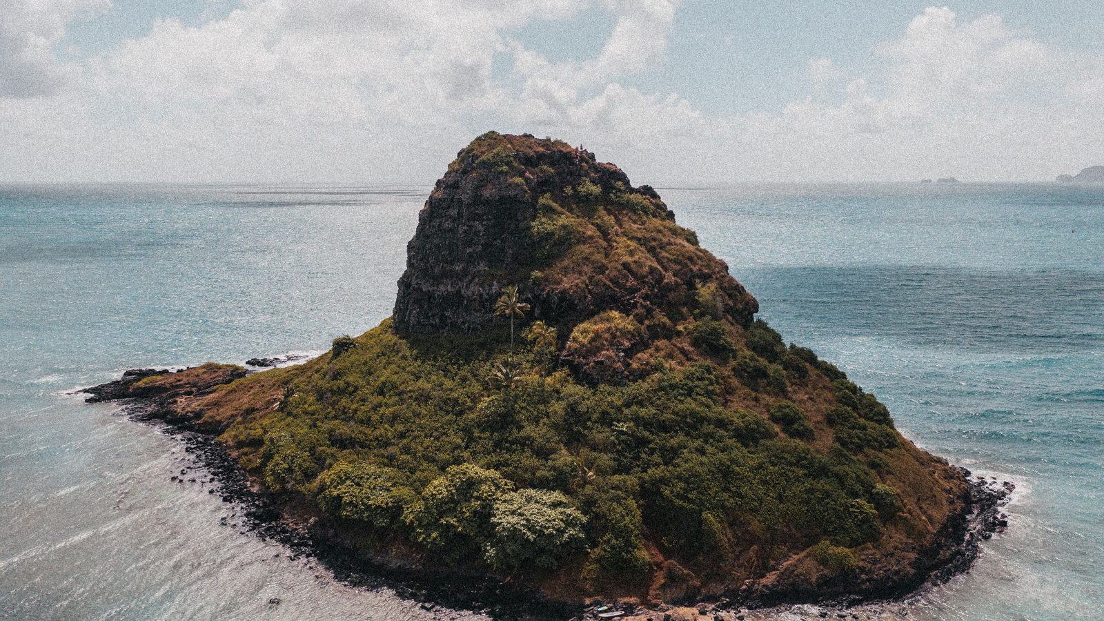
Ask most people to name the world's smallest island country and many will guess Tuvalu. It is a Pacific nation of nine low-lying atolls that often appears in the news because rising seas threaten to submerge it.
The true answer is Naoero (formerly Nauru), a single raised coral island in the Central Pacific. It covers about 21 square kilometres, roughly the size of a small town. Tuvalu's atolls add up to about 26 square kilometres, narrowly more land than Naoero holds.
Naoero ranks as the world's third-smallest sovereign state, behind only Vatican City and Monaco. Nine scattered atolls, even tiny ones, still add up to more land than a single small island.
↗ Send this fact to a friend8.50° N, 77.50° W · Place of the day
The Darién Gap
The Darién Gap is a stretch of rainforest and swamp on the border between Panama and Colombia. It runs about 106 kilometres between the towns of Yaviza and Turbo, roughly the distance from London to Oxford.
It is the one broken link in the Pan-American Highway, a road network that otherwise runs almost 30,000 kilometres. That road connects Prudhoe Bay in Alaska to Ushuaia at the southern tip of Argentina, through 14 countries.
No road has ever been built across the gap. The terrain is too dense and the swamps too soft, so North and South America remain unconnected by road.
 Play today's Worldle
↻ Also on the map
Suriname's only official language is Dutch Suriname, a small country on South America's northern coast, is the sole nation in the Americas whose only official language is Dutch. The link goes back to 1667, when the Dutch took control of the territory under the Treaty of Breda.
The Red Cross emblem comes from the Swiss flag In 1863, the Red Cross adopted its emblem by inverting Switzerland's flag, turning a white cross on red into a red cross on white. It honours Henry Dunant, the Swiss co-founder of the organisation, though the symbol looks identical to England's St George's Cross.
Between issues
Fancy a change of pace? GeoGrid gives you a 3 by 3 grid where each row and column sets a different geography challenge. Find one country that fits both, and fill the board before you run out of guesses.
 Play today's GeoGrid
Locate the country
Today's mystery shape · 30 September 2026
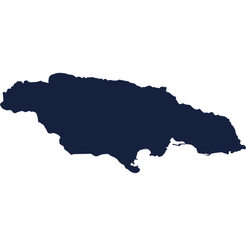
Today's silhouette is waiting for your best guess. Study the outline, think about its coastline and neighbours, and see if you can place it on the map. We reveal the answer tomorrow.
Guess it on Worldle →Yesterday, revealed
Yesterday, 29 September 2026
It was New Zealand, Yesterday's silhouette is revealed above. Some readers will have placed it straight away. Others will have needed a few guesses, or missed it entirely. Either way, that is how the game is meant to work. There is a fresh shape to puzzle over today.
48.86° N, 2.35° E · By the numbers
How many time zones each country uses
France uses more time zones than any other country: 12 in total. That is one more than Russia, a country usually pictured as the world's leader on this measure because its mainland stretches so far east to west. France's edge does not come from its European territory, which sits in a single zone. It comes from islands and territories scattered across the Pacific, the Caribbean, South America, the Indian Ocean and even Antarctica. Added together, they span a wider range of longitude than Russia's connected mainland. A country's time zone count can depend more on how spread out its territory is than on how large it looks on a map.
FREE · DAILY · GEOGRAPHY
Put the world in your inbox.
One surprising, entertaining geography brief each day. No spam; just a better sense of place.
That's the world
See you tomorrow. The Teuteuf team
Sources: Encyclopaedia Britannica: Nauru · Guinness World Records: 'Longest motorable road' · Wikipedia: Suriname · ICRC: History of the emblems (official) · Wikipedia: Time in France