Good morning
At midnight on 31 July 2015, the world's only third-order enclave disappeared. Dahala Khagrabari, a 7,000 m² Indian jute field, sat inside a Bangladeshi enclave, inside an Indian enclave, inside Bangladesh, until a land swap between the two countries took effect.
Lines on a map are decisions, and they do not always match the land. Today: a country named after a line that misses its territory, a capital picked by outsiders and a Cold War line that still confuses east and west.
In today's edition
- The country named after a line it misses
- Wellington, a capital chosen by Australians
- Prague lies west of Vienna
- Three landscapes that changed
- The shortest route between two countries
Equatorial Guinea · Fact of the day
Equatorial Guinea and the line in its name
Equatorial Guinea takes its name from its position near the equator and in the African region of Guinea, so it is easy to assume the line runs through the country. It touches none of its land.
The mainland, Río Muni, lies entirely north of the equator, at about 1° to 2° N, between Cameroon and Gabon. The island of Bioko, home to Malabo, lies further north still. The southernmost territory, Annobón island, sits about 155 km south of the equator. The line passes between them, crossing only the country's territorial waters in the open ocean.
↗ Send this fact to a friend41.29° S, 174.78° E · Place of the day
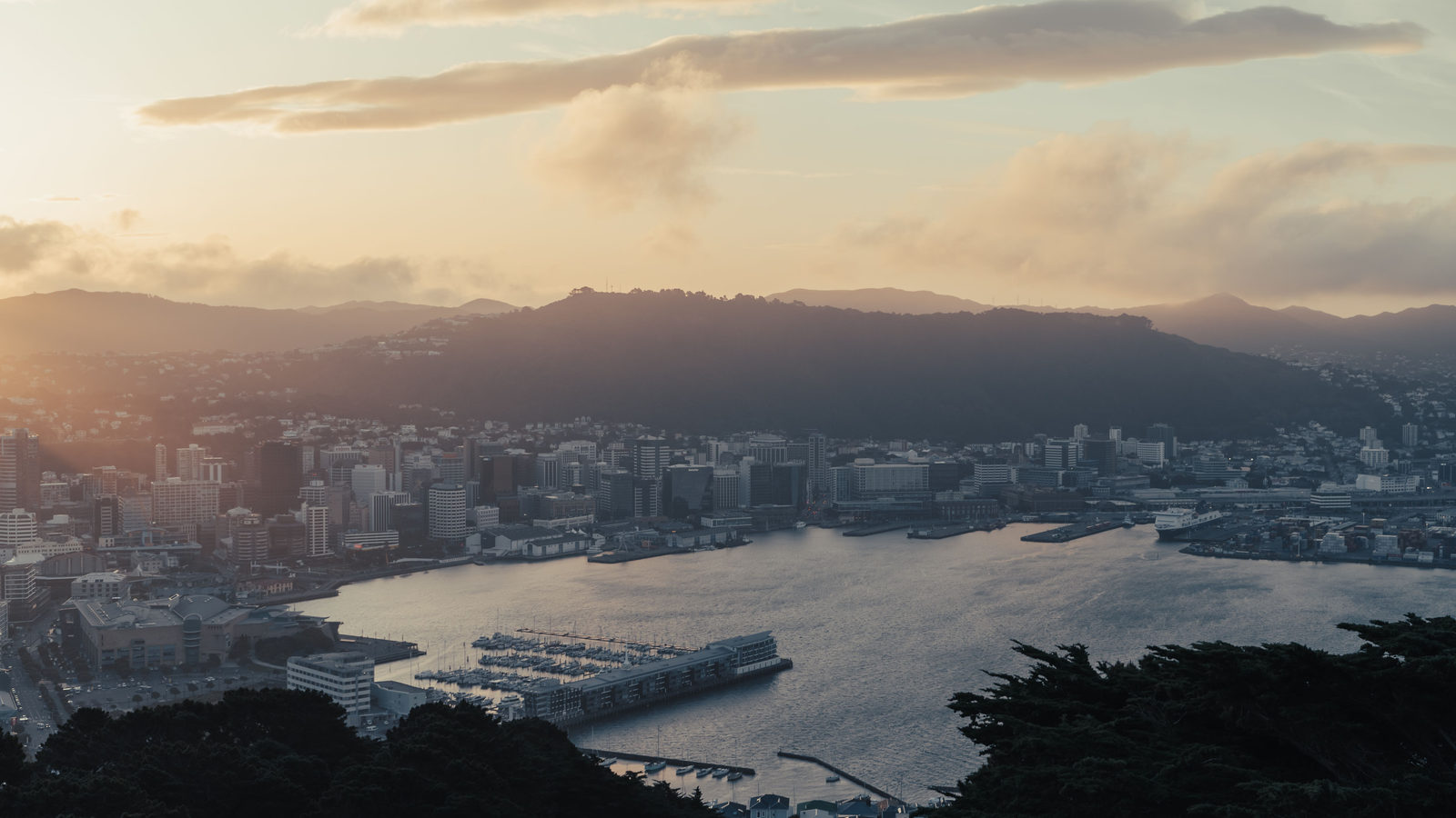
Wellington
Wellington became New Zealand's capital in 1865 on the recommendation of a commission of Australians. The governors of New South Wales, Victoria and Tasmania appointed them as neutral outsiders after a decade of parliamentary deadlock between Auckland and the south.
Auckland had been the capital since 1841, but it sits near the top of the North Island. Some South Island members spent two months getting there by sea, and once there they met in a hastily built shell of a building that MPs nicknamed the Shedifice. The commissioners reported their unanimous choice from Nelson on 3 October 1864, and Parliament first sat in Wellington on 26 July 1865.
 Play today's Worldle
↻ The feed · what moved
Croatia's 2022 bridge past Neum The Neum corridor, about 9 km of coast that Ragusa ceded to the Ottomans in 1699, is Bosnia and Herzegovina's only access to the sea and once cut Dubrovnik off by road from the rest of Croatia. The 2,404 m Pelješac Bridge, opened on 26 July 2022, removed the need to cross two borders.
The Chicago River, reversed in 1900 In 1900, engineers reversed the Chicago River with a canal through the divide between the Great Lakes and the Mississippi. Its water flows away from Lake Michigan towards the Gulf of Mexico, and a US Supreme Court decree caps that diversion at a long-term average of 91 m³ a second.
The Gulf of Bothnia, rising since the Ice Age Along the Gulf of Bothnia, post-glacial rebound lifts the land by 8 to 10 mm a year, raising an estimated 700 hectares out of the sea annually. Finnish tide gauges have recorded mean sea level falling there since 1900, while global sea level rises.
Between issues
Travle names two countries and asks for the shortest route between them, travelling only through the neighbours in between. It turns a vague sense of what lies next to what into a precise chain of borders.
 Play today's Travle →
Locate the country
Today's mystery shape · 23 September 2026
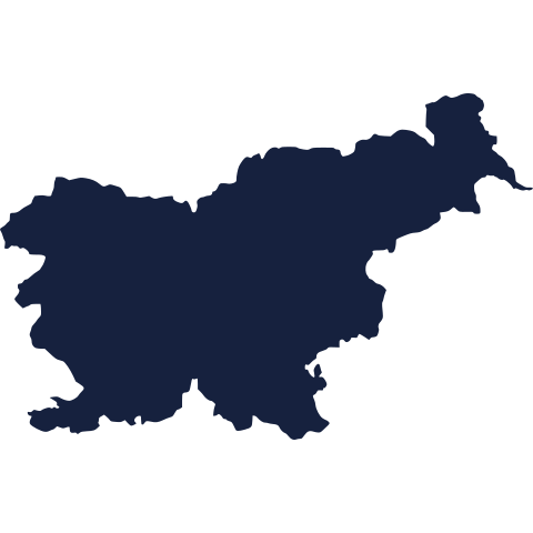
Today's silhouette is waiting for your guess. Study its coastline and its outline, and see how close you can get before checking. We reveal the answer tomorrow.
Guess it on Worldle →Yesterday, revealed
Yesterday, 22 September 2026
It was Slovakia, Yesterday's silhouette was trickier than it looked. If you named it straight away, well done. If not, take a moment to look at its shape again: it is worth remembering for next time.
50.08° N, 14.44° E · By the numbers
Prague and Vienna, by longitude
The Iron Curtain divided Europe into West and East, and on many mental maps Vienna still sits on the western side of that line and Prague on the eastern one. The longitudes say otherwise. Prague, in west-central Czechia, lies at 14.42° E. Vienna, in Austria's far-eastern corner, lies at 16.37° E. That puts the Czech capital about 1.95 degrees of longitude, roughly 140 km, farther west than the Austrian one. Labels like Western and Eastern Europe describe politics, not position.
FREE · DAILY · GEOGRAPHY
Put the world in your inbox.
One surprising, entertaining geography brief each day. No spam; just a better sense of place.
That's the world
See you tomorrow. The Teuteuf team
Sources: Wikipedia: Equatorial Guinea · Wikipedia, 'Capital of New Zealand' (article cites Te Ara and the New Zealand Parliamentary Library) · Wikipedia: Prague · Britannica: Annobon · RNZ (Radio New Zealand, national public broadcaster): 'RIP Capital City Auckland, 1841 - 1865'