Good morning
On 24 September 1852, the French engineer Henri Giffard flew the first powered, steerable airship. His hydrogen balloon, driven by a small steam engine, flew about 27 kilometres from Paris to the village of Trappes. It was the first time anyone had flown a chosen course, rather than simply drifting with the wind.
Today's issue looks at three places that are not quite where common belief puts them, plus one country with a language record few people know.
In today's edition
- Africa's real lowest point sits in Djibouti
- Singapore isn't Asia's true southern tip
- Zimbabwe recognises far more languages than expected
- Three real map changes from recent decades
- Find the shortest path between two countries
Lake Assal · Fact of the day
Africa's lowest point is a salt lake in Djibouti, not Egypt's Qattara Depression
Ask most people to name Africa's lowest point on land, and many will say the Qattara Depression in Egypt, a huge basin near the Mediterranean coast. It sits about 133 metres below sea level, roughly the height of a 40-storey building turned upside down.
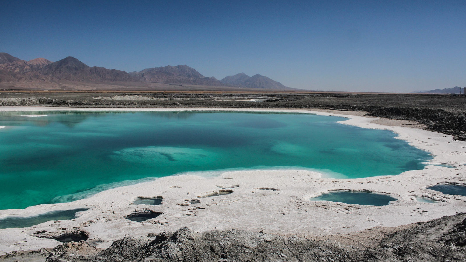
The true lowest point lies further south and east: Lake Assal, a salt lake in Djibouti, a small country in the Horn of Africa. Its surface sits about 155 metres below sea level, some 22 metres lower still. Lake Assal formed inside the Afar Rift, a stretch of East Africa where the ground is slowly pulling apart. That stretching lets the basin sink lower than any other point on the continent.
↗ Send this fact to a friend1.31° N, 103.63° E · Place of the day
Tanjung Piai, the true southern tip of mainland Asia
Tanjung Piai is a mangrove cape in the state of Johor, on the southern tip of Malaysia, a country in Southeast Asia. Many people assume Singapore, just across the water, marks the southernmost point of mainland Asia.
Singapore is an island, separated from the Asian landmass by the Straits of Johor, a narrow channel of sea. Tanjung Piai, sitting on the peninsula itself at about 1 degree 16 minutes north of the equator, is the actual end of the continent. A wooden walkway there lets visitors stand at the cape's tip, with Singapore's coast visible just a few kilometres across the water.
 Play today's Worldle
↻ The feed · what moved
Belgium and the Netherlands moved their border in 2018 Their border follows the River Meuse, which engineers straightened in 1961. That left scraps of each country stranded on the other bank. Under a treaty signed in 2016, Belgium gave two river peninsulas to the Netherlands and received one. It took effect in 2018.
A phantom island is erased from world maps Sandy Island had appeared on charts for over a century, shown in the Coral Sea between Australia and New Caledonia. In 2012, an Australian survey ship sailed to its charted spot. The crew found only open water, and mapmakers removed the island for good.
Mont Blanc was measured at 4,805.59 metres in 2023 Every two years, surveyors climb the highest mountain in western Europe to measure the snow and ice piled on its summit. In September 2023 they recorded 4,805.59 metres, about two metres less than in 2021. The rock below does not move; the snow cap does.
Every Thursday · 30 questions
Thursday Thirty is live.
The Thursday Thirty is ready to play. This set of thirty questions takes you across every continent, from capital cities to rivers, mountains and borders, testing knowledge old and new. Some questions are gentle, some are tough, and there is no clock, so take your time working through them. Play now and see how your knowledge of the world's geography measures up against other readers.
 Play this week's Thirty →
Last week, in numbers · September Thursday 17th · w36 · 17 September 2026
How 31,475 players scored · w36
Between issues
Fancy a puzzle with your morning coffee? GeoGrid gives you a 3 by 3 grid where each row and column needs a country that fits both categories at once. It rewards a good memory for the map and a bit of lateral thinking.
 Play today's GeoGrid
Locate the country
Today's mystery shape · 24 September 2026
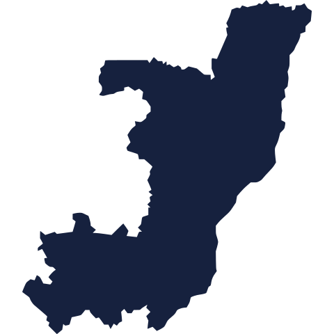
Today's silhouette is waiting for your guess. Study its outline, think about its coastline and shape, and see if you can place it on the map. We reveal it tomorrow, so take your best guess now.
Guess it on Worldle →Yesterday, revealed
Yesterday, 23 September 2026
It was Slovenia, Yesterday's silhouette is revealed above. Well done if you placed it straight away, and no worries if you didn't. Some shapes are trickier than others, and every guess is a chance to learn a little more about the map.
19.00° S, 29.00° E · By the numbers
How many languages a country officially recognises
South Africa is well known for its 11 official languages. That count rose to 12 in 2023, when South African Sign Language was added. Its neighbour Zimbabwe recognises even more. Since 2013, its constitution has listed 16 official languages. They include Shona, Ndebele, Tonga, Venda and sign language. Picture a classroom where lessons could legally be taught in any of 16 tongues. It matters because official status decides which languages appear in schools, courts and government forms.
FREE · DAILY · GEOGRAPHY
Put the world in your inbox.
One surprising, entertaining geography brief each day. No spam; just a better sense of place.
That's the world
See you tomorrow. The Teuteuf team
Sources: Wikipedia: Lake Assal (Djibouti) · Wikipedia: Extreme points of Asia · Wikipedia: Languages of Zimbabwe · Wikipedia: Qattara Depression · WorldAtlas: 'The Most Extreme Points of Asia' (Jardine Kinah)