Good morning
On this day, 4 October 1957, the Soviet Union launched Sputnik 1, the first artificial satellite to orbit the Earth. It was a metal sphere about the size of a beach ball. It circled the planet once every 96 minutes, sending back a simple radio beep that observatories around the world could pick up.
Today's issue looks at a capital city that changed, an island built by hand, and the highest point a ship can reach in Europe.
In today's edition
- Why Melbourne once governed Australia
- An island the Netherlands built by hand
- The highest point ships reach in Europe
- Vatican City, and Earth's most remote point
- Guess today's country from its outline
- Match countries across rows and columns
Melbourne · Fact of the day
Melbourne, not Sydney, was Australia's first federal capital
Most people assume Sydney has always been Australia's political centre, since it is the country's oldest and largest city. In fact, Australia's constitution named Melbourne as the seat of government, and ruled out Sydney by name. Section 125 required the future capital to sit at least 160 kilometres from Sydney. That is roughly the distance from London to Birmingham. It also ordered Parliament to sit in Melbourne until a new city was ready. That new city, Canberra, was not chosen until 1908 and did not host Parliament until 9 May 1927. For 26 years, Melbourne governed the nation. Sydney has never served as the federal capital for a single day.
↗ Send this fact to a friend52.45° N, 5.20° E · Place of the day
The Flevopolder, Netherlands
The Flevopolder is a stretch of land in the Netherlands that did not exist a century ago. It was once the seabed of the Zuiderzee, a shallow inlet of the North Sea. Engineers built dykes around it and pumped the water out, finishing the eastern half in 1957 and the southern half in 1968. Together they cover 970 square kilometres, making the Flevopolder the largest artificial island on Earth. It is about 170 times the size of Palm Jumeirah, the palm-shaped island built off Dubai. Today the reclaimed land carries an entire province, Flevoland, home to more than 400,000 people in the cities of Almere and Lelystad.
 Play today's Worldle
↻ Also on the map
The nearest humans to Point Nemo are usually in orbit Point Nemo sits in the South Pacific Ocean, farther from any land than anywhere else on Earth. The nearest shore is 2,688 kilometres away. When the International Space Station flies overhead, about 400 kilometres up, its crew are the closest people to that spot.
Vatican City is the smallest country in the world Since its creation in 1929, Vatican City, a walled enclave inside Rome, has covered just 0.44 square kilometres, about the size of 60 football pitches. It is roughly a fifth the size of Monaco, the world's second-smallest country.
Between issues
In GeoGrid, you fill a 3x3 grid with countries. Each one must match its row and its column, like a nation on two continents, or a country that borders both the sea and a desert. It rewards the odd bits of geography you already half remember.
 Play today's GeoGrid
Locate the country
Today's mystery shape · 4 October 2026
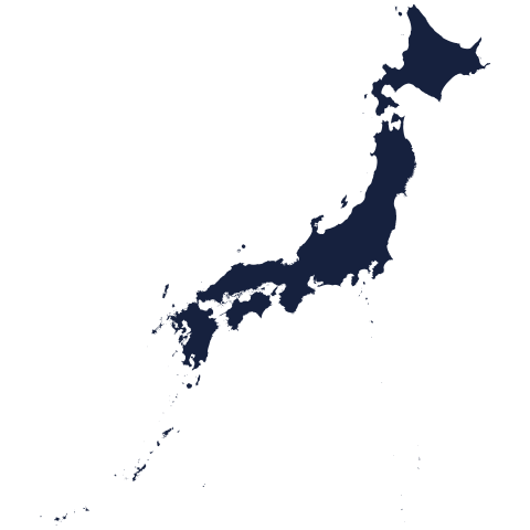
Today's silhouette is waiting for you below. Study its coastline and borders, then take a guess at which country it is. However close you get, it is worth a try. We reveal the answer tomorrow.
Guess it on Worldle →Yesterday, revealed
Yesterday, 3 October 2026
It was Bulgaria, Yesterday's silhouette has now been revealed on the site. If you placed it straight away, well done. If you did not, geography silhouettes are genuinely tricky, so do not be hard on yourself. There is a fresh one to try today.
49.10° N, 11.52° E · By the numbers
The highest point a ship can reach in Europe
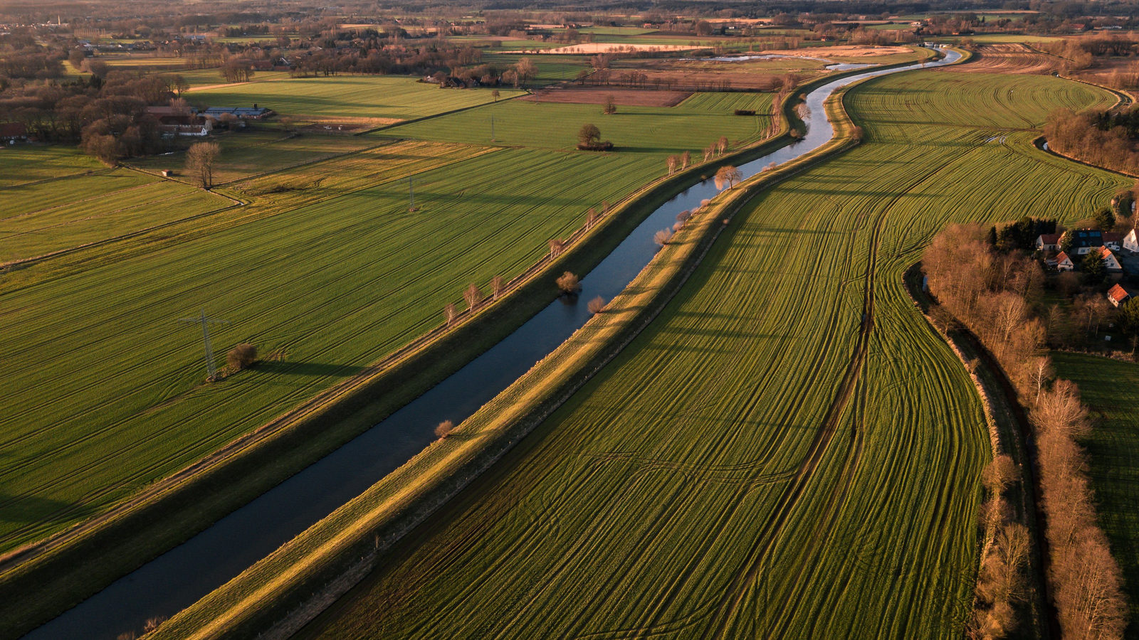
The Rhine-Main-Danube Canal lets ships cross Bavaria, in southern Germany, from the Main river to the Danube. To do it, they climb 175 metres, roughly the height of a 55-storey building. Sixteen locks lift the vessels in stages. Three of them raise a ship 25 metres in one go, about as high as an eight-storey block of flats. At the top, boats reach 406 metres above sea level. That is the highest point any ship can reach on Europe's connected network of rivers and canals, linking the North Sea to the Black Sea.
FREE · DAILY · GEOGRAPHY
Put the world in your inbox.
One surprising, entertaining geography brief each day. No spam; just a better sense of place.
That's the world
See you tomorrow. The Teuteuf team
Sources: Wikipedia: 'Section 125 of the Constitution of Australia' (citing the Parliament of Australia's official text of Chapter VII) · Guinness World Records: 'Largest artificial island' · Space.com: "Meet Point Nemo, where the International Space Station will die in 2030" (Mike Wall) · Vatican City State: official site (Governorate), 'Geography' · Generaldirektion Wasserstraßen und Schifffahrt (GDWS): official German federal waterways authority, 'Der Main-Donau-Kanal'