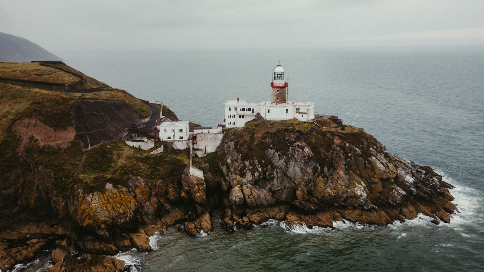
Good morning
On 3 October 1990, East and West Germany reunited into one country, ten months after the Berlin Wall fell. The new nation kept West Germany's constitution, and Berlin later became its capital again.
Today's issue crosses some unexpected borders. One capital touches two neighbouring countries. An island's northern tip sits in the country most readers would not guess.
In today's edition
- Ireland's northern tip sits in the Republic
- A European capital that touches two neighbours
- Patagonia hides the hemisphere's lowest point
- Mexico's outline, border and peninsula in numbers
- The Great Barrier Reef's protected area
- See how fast you can name this flag
Malin Head · Fact of the day
Ireland's northernmost point is in the Republic, not Northern Ireland
Most people assume the northern tip of the island of Ireland sits in Northern Ireland, since that is the part of the island in the north-east. The actual northernmost point, Banba's Crown at Malin Head, lies in County Donegal, which is part of the Republic of Ireland. It sits about 15 kilometres, roughly the length of Manhattan, further north than Benbane Head in County Antrim, the top of Northern Ireland's own coastline.
The reason is that the 1921 border followed county lines, not compass points. County Donegal wraps north and west around Northern Ireland, so its Inishowen Peninsula reaches further north than any point on the Antrim coast.
↗ Send this fact to a friend48.15° N, 17.11° E · Place of the day
Bratislava
Bratislava is the capital of Slovakia, sitting on the Danube river in central Europe. Its city boundary touches the borders of two other countries at once, a feature no other national capital has.
To the west, Bratislava's limits meet Austria, near the towns of Kittsee and Hainburg. To the south, they meet Hungary, near the town of Rajka. A resident living at the edge of the city could walk into a different country in either direction. The Czech border, in contrast, lies a further 62 kilometres away, about a one-hour drive.
 Play today's Worldle
↻ Also on the map
The Western Hemisphere's lowest dry land is in Patagonia Laguna del Carbón is a salt lake in Argentina's Santa Cruz Province. It lies about 105 metres below sea level. That is 19 metres lower than Death Valley in the United States, which only holds the record for North America.
Mexico's border with the United States runs 3,145 kilometres Mexico covers about 1,964,000 square kilometres. A long peninsula reaches down its northwest coast for 1,247 kilometres. Mexico's land border with the United States runs about 3,145 kilometres, roughly the driving distance from Paris to Moscow.
Between issues
GeoGrid gives you a 3 by 3 grid where each row and column names a category, from mountain ranges to flag colours. Fill every square with a country that fits both its row and its column, and watch the puzzle come together.
 Play today's GeoGrid
Locate the country
Today's mystery shape · 3 October 2026
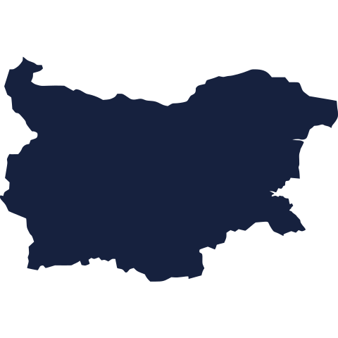
Today's silhouette shows one country's outline, with no borders or labels to help. Study the shape, make your best guess and see how close you get. We reveal the answer tomorrow.
Guess it on Worldle →Yesterday, revealed
Yesterday, 2 October 2026
It was Latvia, Yesterday's silhouette was a tricky shape to place, and plenty of readers reached for the atlas before settling on an answer. If you guessed wrong, no matter: outlines without borders or labels are genuinely hard to read. Today's shape is waiting for you now.
16.50° S, 145.50° E · By the numbers
How big the Great Barrier Reef's protected area is
The Great Barrier Reef World Heritage Area covers about 348,000 square kilometres of Australia's Queensland coast. That is larger than the United Kingdom, the Netherlands and Switzerland put together. Of that area, 344,400 square kilometres forms the federally protected Great Barrier Reef Marine Park, nearly the whole property. That legal boundary protects far more than the visible coral itself, and shows the scale of what conservation rules there must cover.
FREE · DAILY · GEOGRAPHY
Put the world in your inbox.
One surprising, entertaining geography brief each day. No spam; just a better sense of place.
That's the world
See you tomorrow. The Teuteuf team
Sources: Met Éireann (Irish Meteorological Service): Weather Observing Stations · Wikipedia: Geography of Bratislava · Wikipedia: 'Laguna del Carbón' · Secretaría de Relaciones Exteriores (Mexican Foreign Ministry): "Datos Básicos de México" · Australian Government, Department of Climate Change, Energy, the Environment and Water (DCCEEW): Great Barrier Reef heritage page