Good morning
On 30 October 1961, the Soviet Union detonated the Tsar Bomba over Novaya Zemlya, a remote Arctic archipelago. It was the most powerful nuclear device tested up to that date. Its force equalled about 50 million tonnes of TNT (trinitrotoluene, a powerful explosive), roughly 3,000 times the bomb dropped on Hiroshima in 1945.
Today's issue looks at out-of-the-way corners of North America and the Pacific, from an American town reachable only through Canada to the island chain that once belonged to Germany.
In today's edition
- Point Roberts sits cut off by Canada
- Germany once owned most of Micronesia
- Canada holds most of the world's lakes
- Hawaii beats Florida for southernmost point
- Guess today's country from its outline
- Fill a grid using country categories
Pacific islands · Fact of the day
Germany bought most of Spain's Pacific islands in 1899
Most people think the United States took every Spanish island in the Pacific after the Spanish-American War of 1898. It took Guam and the Philippines, but not the rest. Spain sold its other Pacific islands to Germany.
On 12 February 1899, Spain signed a treaty with Germany. Spain gave Germany the Caroline Islands, Palau and every Mariana island except Guam. In return, Germany paid 25 million pesetas, about four million US dollars at the time. Germany ran these islands from its colony in German New Guinea. That lasted 15 years, until Japan seized them in October 1914. The split is why Guam and Saipan, two islands in the same Mariana chain only 65 kilometres apart, belong to different countries today.
↗ Send this fact to a friend48.98° N, 123.07° W · Place of the day
Point Roberts, Washington
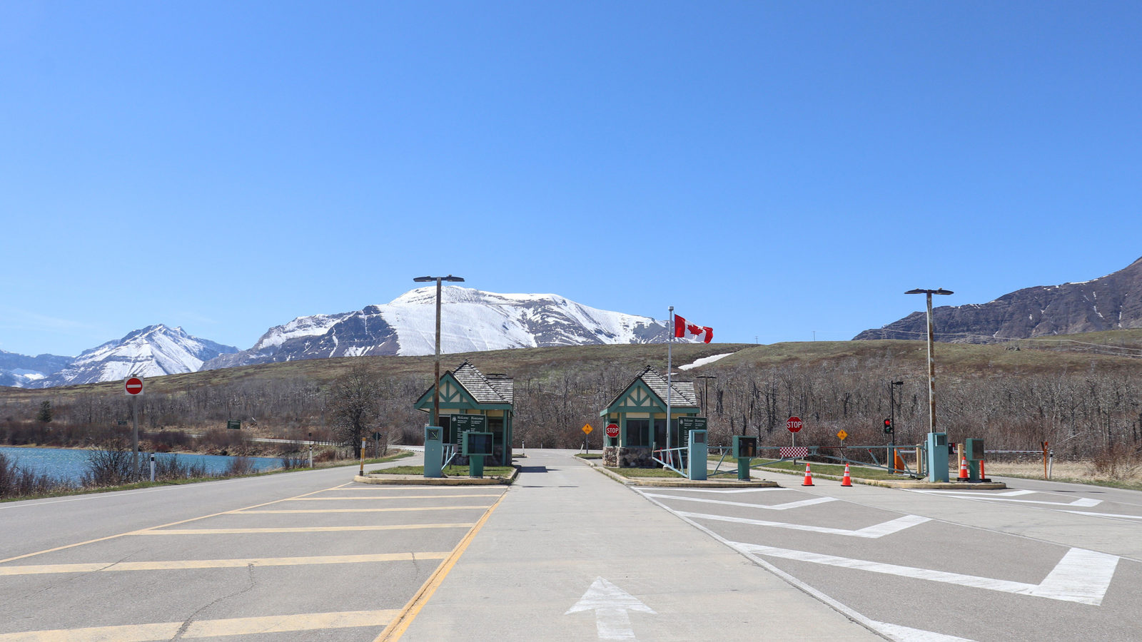
Point Roberts is a small piece of the United States that sits in Canada. It lies at the southern tip of a peninsula that is otherwise part of British Columbia. The spot covers about 13 square kilometres, smaller than most towns, with around 1,200 residents.
In 1846, Britain and the United States agreed to split their land along the 49th parallel, a line of latitude running east to west. The line cut straight across the peninsula without anyone checking what lay beneath it. That left Point Roberts stranded south of the border, still part of Washington State.
To reach the rest of the United States, residents must drive about 40 kilometres through Canada and back across the border. Local children cross that same border four times a day just to get to school.
 Play today's Worldle
↻ Also on the map
Ka Lae is the southernmost point in the United States Ka Lae is a headland on Hawaiʻi Island, in the Pacific Ocean. It lies about 625 kilometres closer to the equator than Key West, Florida. Key West's buoy is often sold as the country's southernmost point, but Hawaii reaches further south.
ʻIolani Palace had electric lighting before the White House ʻIolani Palace in Honolulu was the royal home of the former Kingdom of Hawaiʻi. By June 1887, it was lit by 325 electric lamps. The White House, in Washington, did not get electric lighting until 1891, four years later.
Between issues
Each day's GeoGrid gives you a nine-square board, where every row and column names a category, such as a continent or a shared border. You pick one country that fits both to fill each square. It rewards wide knowledge over quick guessing.
 Play today's GeoGrid
Locate the country
Today's mystery shape · 30 October 2026
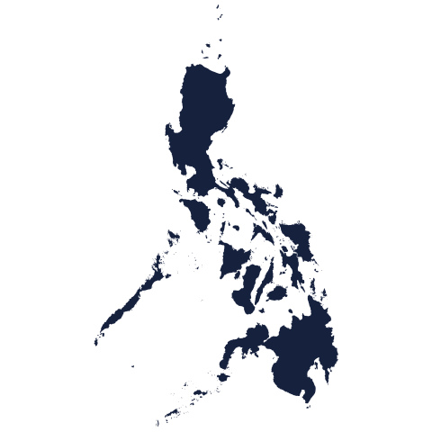
Today's silhouette is waiting for your best guess. Look at its coastline and borders, think about which continent it belongs to, and see how many tries it takes you to place it. We reveal the answer tomorrow.
Guess it on Worldle →Yesterday, revealed
Yesterday, 29 October 2026
It was Aruba, Yesterday's silhouette was trickier than it looked for many readers. Its coastline and borders gave fewer clues than usual, so if you needed several guesses, you were far from alone. Fresh shape, fresh chance today.
60.00° N, 95.00° W · By the numbers
Canada holds most of the world's lakes
Of the roughly 1.4 million lakes on Earth bigger than 10 hectares, about the size of 14 football pitches, most sit inside one country. Canada holds close to 900,000 of them. That is about three in every five lakes worldwide, more than every other country combined. Canada also has more lake area than anywhere else, including 563 lakes larger than 100 square kilometres, roughly the size of Washington, the United States capital city. Thousands of years of glaciers carving the land left basins that still hold water today. No other country has anything close.
FREE · WEEKLY EMAIL · GEOGRAPHY
Put the world in your inbox.
A new geography brief on the site every day, and one in your inbox every week.
That's the world
See you tomorrow. The Teuteuf team
Sources: Guampedia, 'Partition of the Marianas' (reprint from Guam History Perspectives, Vol. 2) · Wikipedia: Point Roberts, Washington · Wikipedia: Ka Lae · Wikipedia: ʻIolani Palace · Government of Canada / Environment and Climate Change Canada: "Water sources: lakes"