Good morning
On 4 November 1922, the archaeologist Howard Carter found a step cut into rock in the Valley of the Kings, a burial site in Egypt. It led to the tomb of the pharaoh Tutankhamun, sealed for more than 3,000 years and almost untouched by looters.
Today's issue looks at more places where geography holds a surprise, from a Pacific country in four hemispheres to a Brazilian bridge that crosses the wrong river.
In today's edition
- Why the Amazon has no bridge across it
- A country spread across four hemispheres
- How small New Zealand's visible land really is
- The country with the most official languages
- Guess the country from its outline
- Match countries across a nine square grid
Amazon bridge · Fact of the day
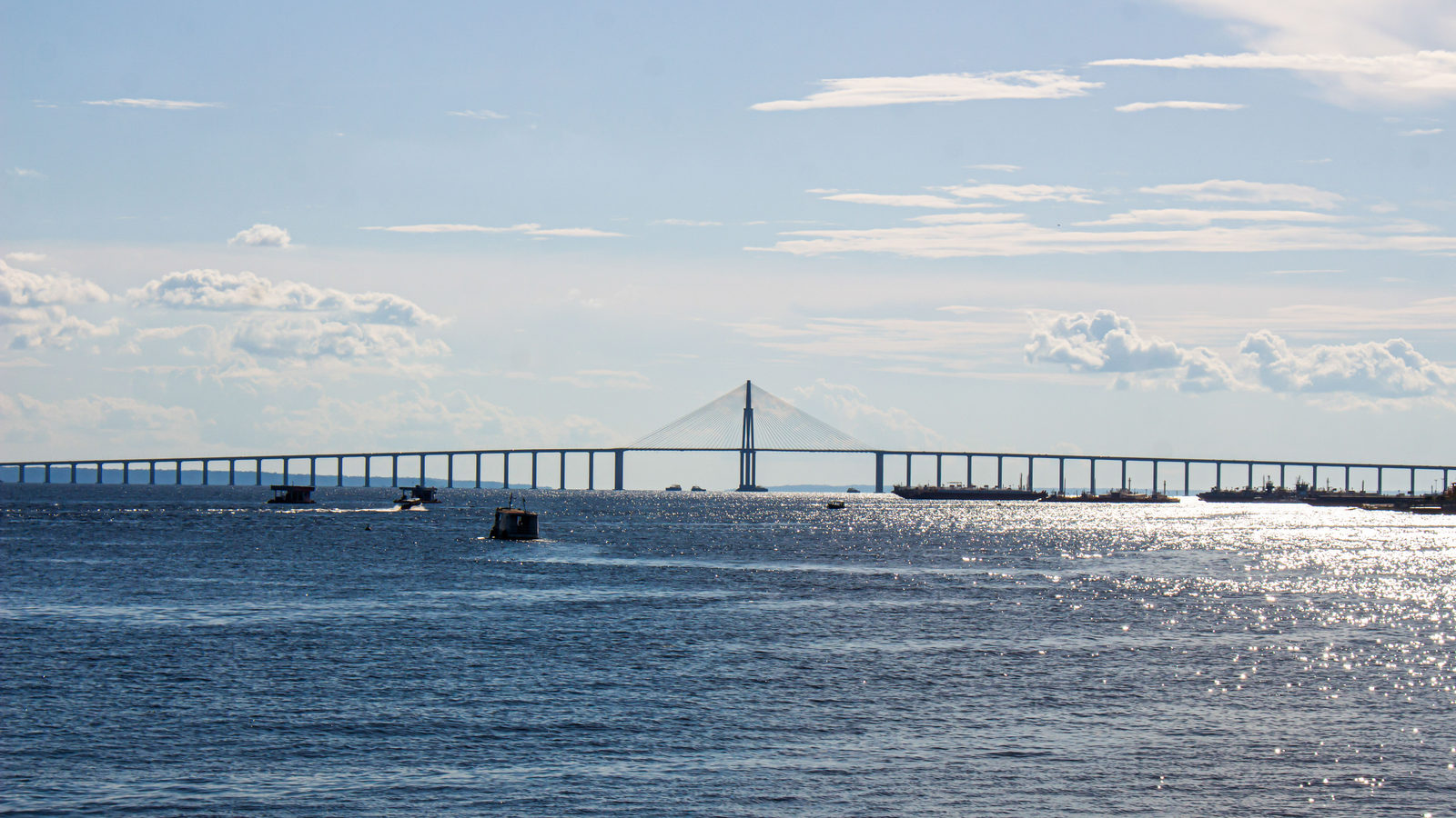
The big bridge near Manaus crosses the Rio Negro, not the Amazon
Many people assume the long bridge near Manaus, a city deep in the Brazilian Amazon, crosses the Amazon River itself. It does not. Opened in 2011, the bridge is 3.6 kilometres long, roughly the length of 36 football pitches laid end to end. It crosses the Rio Negro, a large tributary that joins the Amazon just downstream.
No bridge has ever crossed the Amazon's main channel, anywhere along its roughly 6,400 kilometre course. The river has no fixed banks: in the rainy season it can spread to 48 kilometres wide, and the ground beneath it is soft silt hundreds of metres deep. Building piers strong enough, with roads worth connecting to them, has never made practical sense.
↗ Send this fact to a friend1.35° N, 173.00° E · Place of the day
Kiribati
Kiribati is a country of 33 small islands scattered across the central Pacific Ocean. It is the only country on Earth whose own land sits in all four hemispheres at once. Its territory crosses the equator, the line separating north and south. It also crosses the 180th meridian, the line separating east and west.
Kiribati's total land area is just 811 square kilometres, smaller than the city of London. Its islands are spread across a far larger stretch of ocean: an exclusive economic zone of about 3.4 million square kilometres, roughly the size of India. The country's highest point, on the island of Banaba, is only 81 metres above sea level, about as tall as a 20 storey building.
 Play today's Worldle
↻ Also on the map
Bolivia recognises 38 official languages Bolivia recognises more languages than any other country. Its constitution has named 37 languages since 2009. Guinness World Records certified this as a world record in 2022. In 2025, Bolivia added Bolivian Sign Language, its 38th official language.
New Zealand's sea territory is 15 times its land Since 1982, international law has let coastal countries claim an exclusive economic zone, an area of sea they alone can use. New Zealand's zone covers about 4.2 million square kilometres, roughly 15 times its land area and the fifth largest such zone in the world.
Between issues
Fancy a change of pace? GeoGrid gives you a 3 by 3 grid where each row and column has its own country clue. Fill every square with a country that fits both, and watch the puzzle come together.
 Play today's GeoGrid
Locate the country
Today's mystery shape · 4 November 2026
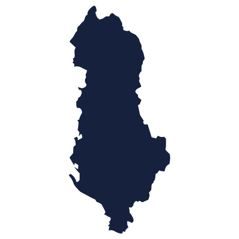
Today's silhouette is waiting to be placed on the map. Study its outline, trust your instincts, and take your best guess. We reveal the answer tomorrow.
Guess it on Worldle →Yesterday, revealed
Yesterday, 3 November 2026
It was Denmark, Yesterday's silhouette caught out many careful guessers. A country's outline rarely looks the way we expect from memory alone, so a wrong guess says nothing about how well you know the world. If you missed it, you're in good company. There's a new shape waiting today.
44.50° S, 174.00° E · By the numbers
How much of the continent of Zealandia is underwater
Zealandia is a mass of continental crust roughly the size of the Indian subcontinent, and about three-fifths the size of Australia. Only a small part of it rises above the sea: New Zealand's 268,000 square kilometres of land. The rest, about 94% of Zealandia, lies underwater. Geologists count it as Earth's seventh continent, and by far its most submerged one. This matters because it shows a continent does not need to be mostly dry land. New Zealand is really just the visible tip of something far larger.
FREE · WEEKLY EMAIL · GEOGRAPHY
Put the world in your inbox.
A new geography brief on the site every day, and one in your inbox every week.
That's the world
See you tomorrow. The Teuteuf team
Sources: Wikipedia: 'Rio Negro Bridge' (Ponte Jornalista Phelippe Daou) · Wikipedia, "Geography of Kiribati" · Guinness World Records: 'Most official languages (country)' · Department of Conservation Te Papa Atawhai (New Zealand Government): "New Zealand's marine biodiversity" · National Geographic: Michael Greshko, "'Lost Continent' Hidden Underneath New Zealand?"