Good morning
On 2 November 1917, the British government issued the Balfour Declaration. It was a short letter backing a Jewish national home in Palestine, a region on the eastern shore of the Mediterranean Sea. That single page helped shape the borders and disputes of the Middle East for the century that followed.
Today's issue looks at borders and territory elsewhere on the map, from a Russian region bigger than Argentina to a desert strip that no country claims at all.
In today's edition
- The Russian region bigger than Argentina
- A desert strip no country claims
- Why Russia's shortest border isn't with Norway
- Libya's early move to independence
- The only natural nuclear reactors on Earth
- Match countries across a nine-square grid
Sakha Republic · Fact of the day
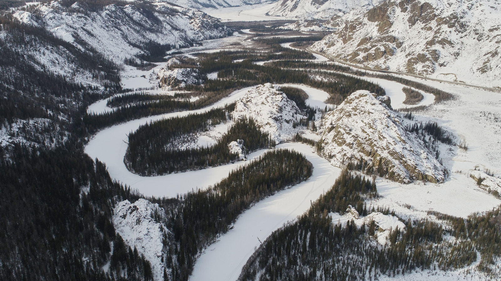
Russia's Sakha Republic is bigger than Argentina
Ask most people which region of a country is the largest in the world, and they usually guess Alaska, Western Australia or Quebec. The true answer is the Sakha Republic, a region of Russia in eastern Siberia also called Yakutia. It covers 3,083,523 square kilometres, which is about 556,500 square kilometres more than Western Australia, a gap roughly the size of France. Sakha is even larger than Argentina, the world's eighth-largest country.
The reason it gets overlooked is simple: Russia is so large that people tend to picture it as one solid block rather than more than 80 separate regions. Sakha itself holds only around a million people, fewer than a mid-sized city, spread so thinly that most of its land has no year-round road or rail connection.
↗ Send this fact to a friend21.80° N, 33.70° E · Place of the day
Bir Tawil
Bir Tawil is a stretch of desert covering 2,060 square kilometres, sitting on the border between Egypt and Sudan in north-east Africa. It is the only piece of habitable land on Earth that no government claims as its own.
The reason is a dispute over two different borders drawn in the past. Egypt recognises a line set in 1899, while Sudan recognises a different line set in 1902. Whichever line a country accepts, it would gain Bir Tawil but lose a much larger, resource-rich area nearby called the Hala'ib Triangle, which covers about ten times as much land. Both Egypt and Sudan would rather keep their claim to that larger area, so neither one claims Bir Tawil.
The result is a patch of desert in the middle of two ordinary, recognised countries that belongs to nobody at all.
 Play today's Worldle
↻ Also on the map
Libya was Africa's first colony to gain independence after 1945 Libya, a country in North Africa, became independent on 24 December 1951. Most people guess Ghana went first, but Ghana only followed in 1957, more than five years later.
Gabon holds the only known natural nuclear reactors on Earth Deep inside a uranium deposit in Gabon, a country in Central Africa, nuclear reactions once started on their own. They ran for a few hundred thousand years, roughly 1.7 to 2 billion years ago. That is about two billion years before humans built the first artificial reactor, in 1942.
Between issues
Fancy a change of pace before tomorrow's issue? GeoGrid gives you a 3 by 3 grid, where every row and column sets a different geography challenge. Find a country that fits both, and the grid slowly comes together.
 Play today's GeoGrid
Locate the country
Today's mystery shape · 2 November 2026
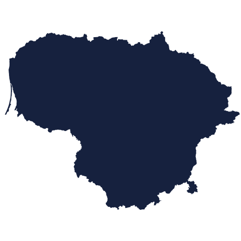
Today's silhouette shows one country's outline. Study its coastline and borders, then take your best guess at where it sits on the map. We reveal the answer tomorrow.
Guess it on Worldle →Yesterday, revealed
Yesterday, 1 November 2026
It was Liberia, If you guessed wrong yesterday, don't worry: silhouettes can be tricky without familiar landmarks to guide you. Have a look at the outline again and see what clues you might spot next time. There's a fresh country to place today.
42.45° N, 130.63° E · By the numbers
Russia's shortest land border
Russia touches 14 other countries, and most people assume its shortest border is with Norway, its small neighbour in the far north-west. The true answer is North Korea. Russia's land border there runs just 17 kilometres along a riverbank, about the length of a half-marathon course. It is roughly 11 and a half times shorter than the Norway border. The border exists because of an 1860 treaty between Russia and China that drew the line along the lower Tumen River. For decades, the only crossing was a railway bridge built in 1959. It matters because this narrow strip also cuts China off from the coast there, leaving a large stretch of north-east China without direct access to the sea.
FREE · WEEKLY EMAIL · GEOGRAPHY
Put the world in your inbox.
A new geography brief on the site every day, and one in your inbox every week.
That's the world
See you tomorrow. The Teuteuf team
Sources: Federation Council of the Federal Assembly of the Russian Federation: official regional profile, Republic of Sakha (Yakutia) · Wikipedia: Bir Tawil · U.S. Department of State, Office of the Historian: 'Libya', Guide to U.S. Recognition and Diplomatic Relations · Wikipedia, 'Natural nuclear fission reactor' · Wikipedia: North Korea–Russia border (citing Rosgranitsa, the Russian Federal Agency for the Development of the State Border Facilities)