Good morning
On 26 September 1687, a cannon shell fired by Venetian forces struck the Parthenon in Athens, Greece. The Ottoman army had been using the ancient temple to store gunpowder, and the blast tore off its roof and many columns, damage still visible on the building today.
Today's issue looks at places that sit in surprising spots on the map. It runs from a city farther north than most people realise to a river that once flowed backwards.
In today's edition
- Why London sits north of the US mainland
- A Norwegian town farther east than Istanbul
- Why Europe's longest river isn't the Danube
- Newfoundland's odd half hour time zone
- Guess a country from its outline
- Match countries to a grid of clues
latitude · Fact of the day
London is farther north than the whole of the mainland United States
Many people picture London, England, as roughly level with the northern United States, somewhere near New York or Boston. It is not. London's city centre sits at about 51.5 degrees north. The northernmost point of the mainland United States, the Northwest Angle in Minnesota, reaches only about 49.4 degrees north. That means every one of the 48 mainland states lies south of London.
The mix-up comes down to climate rather than geography. The Gulf Stream, a warm ocean current, keeps Britain's winters mild for its latitude, so London feels more like the American Northeast than it looks on paper. Strip away the warm water and London actually sits level with parts of Canada, well north of Minneapolis or Seattle.
↗ Send this fact to a friend70.81° N, 31.06° E · Place of the day
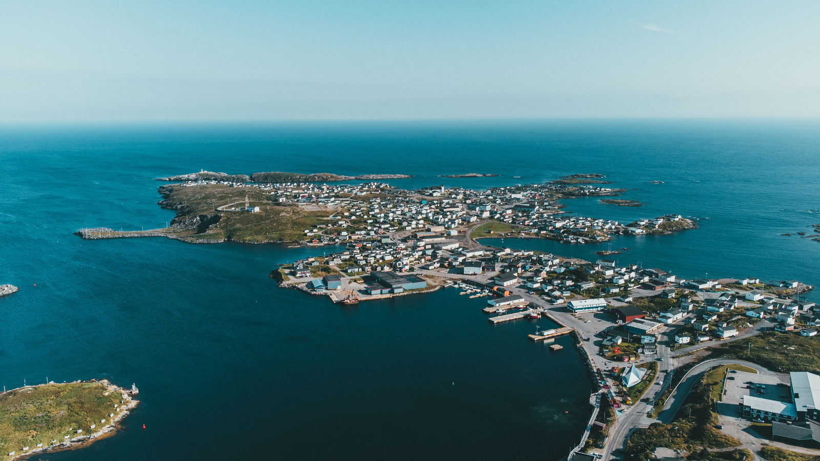
Vardø, Norway
Vardø is a small fishing town on Norway's far northeastern coast, on an island in the Barents Sea. On most maps, Norway looks like it sits above the rest of Europe, so people assume the whole country lies to the west of places like Istanbul, Turkey's largest city. Vardø shows that is not true for its eastern tip.
Kibergsneset, a headland near Vardø, is the easternmost point of mainland Norway. It sits at about 31 degrees east, roughly 2 degrees, or about 175 kilometres, farther east than central Istanbul. Norway's coastline curls sharply north and east along the Barents Sea. That curve carries this Arctic fishing town past a city usually thought of as a gateway to Asia.
 Play today's Worldle
↻ Also on the map
Newfoundland's clocks sit half an hour off Newfoundland is a Canadian province. Since 1935, its clocks have run 30 minutes ahead of the neighbouring Atlantic time zone. No other place in the Americas uses a half hour time difference like this.
Brazil is bigger than the mainland United States Brazil covers about 8.5 million square kilometres. The 48 mainland US states, without Alaska and Hawaii, cover about 8.1 million square kilometres. Brazil is bigger by an area roughly the size of California.
Between issues
Fill a grid of nine squares, each one asking for a country that fits both its row and its column, like an island nation or a country that borders France. It rewards a wide memory of the map.
 Play today's GeoGrid
Locate the country
Today's mystery shape · 26 September 2026
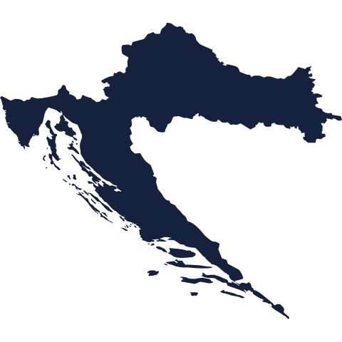
Today's mystery shape is waiting: make your guess, and we'll reveal it tomorrow.
Guess it on Worldle →Yesterday, revealed
Yesterday, 25 September 2026
It was Slovenia, the answer to yesterday's mystery shape.
57.50° N, 35.00° E · By the numbers
Europe's longest river
Most people name the Danube as Europe's longest river, since it flows through so many capital cities. The Volga is longer. It runs about 3,530 kilometres through Russia, roughly 670 kilometres farther than the Danube, a gap close to the distance from London to Berlin. Unlike the Danube, the Volga never reaches the ocean. It ends in the Caspian Sea, a large landlocked lake with no outlet at all. That makes the Volga both Europe's longest river and one that never reaches the open sea.
FREE · DAILY · GEOGRAPHY
Put the world in your inbox.
One surprising, entertaining geography brief each day. No spam; just a better sense of place.
That's the world
See you tomorrow. The Teuteuf team
Sources: Wikipedia: Northwest Angle · Wikipedia: Extreme points of Norway · Wikipedia: Newfoundland Time Zone · Wikipedia: Contiguous United States (US Census-derived) · International Commission for the Protection of the Danube River (ICPDR): intergovernmental body of the 14 Danube states and the EU: "River Basin"